Rhynie / Kilreny / Kilrynie
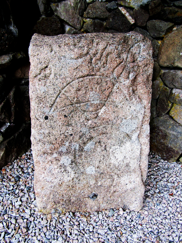
Image copyright © Colin Smith, 2024
Standing permission
Results: 5 records
view of church exterior - stone - detail
Copyright Statement: Image copyright © Colin Smith, 2024
Image Source: digital photograph taken 6 July 2024 by Colin Smith
Copyright Instructions: Standing permission
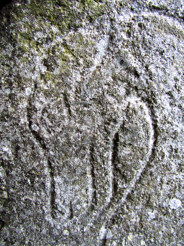
view of church exterior - stone - detail
Copyright Statement: Image copyright © Colin Smith, 2024
Image Source: digital photograph taken 6 July 2024 by Colin Smith
Copyright Instructions: Standing permission
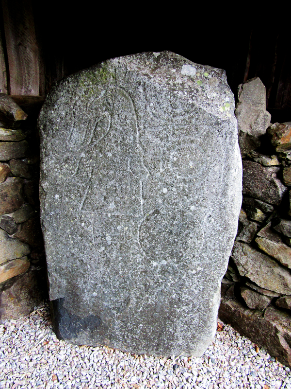
view of church exterior - stone - detail
Copyright Statement: Image copyright © Colin Smith, 2024
Image Source: digital photograph taken 6 July 2024 by Colin Smith
Copyright Instructions: Standing permission
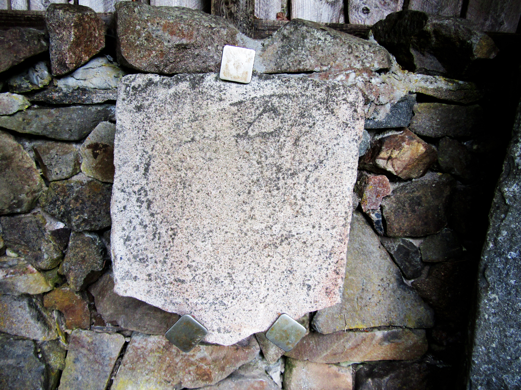
view of church exterior - stone
Copyright Statement: Image copyright © Colin Smith, 2024
Image Source: digital photograph taken 6 July 2024 by Colin Smith
Copyright Instructions: Standing permission
view of church exterior - north view
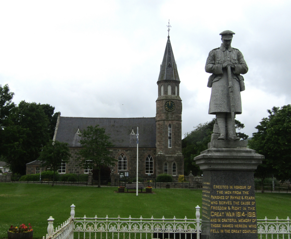
Copyright Statement: Image copyright © Colin Smith, 2024
Image Source: digital photograph taken 6 July 2024 by Colin Smith
Copyright Instructions: Standing permission
INFORMATION
Font ID: 26295ASF
Object Type: Baptismal Font1
Church / Chapel Name: St Luag's Church, Rhynie
Church Patron Saint(s): St. Luag [aka Moluag]
Other Dedications: St. Rule
Church Notes: The medieval church of Rhynie. demolished in 1823, stood in what is now the parish burial ground; not known when the church was built but a bell is dated 1620
Church Address: Rhynie, Huntly AB54 4GH, United Kingdom -- Tel.: +44 1464 861652
Site Location: Aberdeenshire, Scotland, United Kingdom
Directions to Site: Located off the A97-A941 crosroads, between Clatt and Auchterturra, about 55 km NW of Aberdeen
COORDINATES
UTM: 30V 509910 6354380
Latitude & Longitude (Decimal): 57.332217, -2.8354
Latitude & Longitude (DMS): 57° 19′ 55.98″ N, 2° 50′ 7.44″ W