Auchindoir
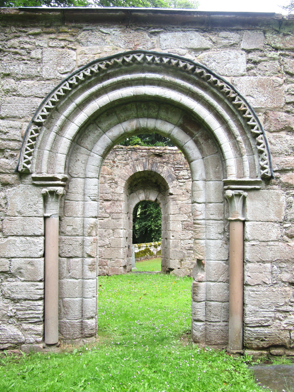
Image copyright © Colin Smith, 2024
Standing permission
Results: 6 records
view of church exterior - south portal
Copyright Statement: Image copyright © Colin Smith, 2024
Image Source: digital photograph taken 6 July 2024 by Colin Smith
Copyright Instructions: Standing permission
view of church exterior - detail
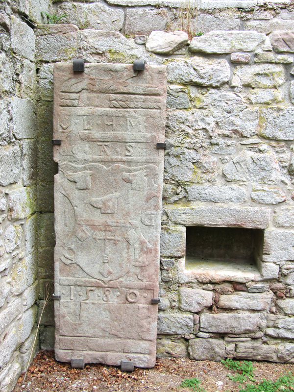
Copyright Statement: Image copyright © Colin Smith, 2024
Image Source: digital photograph taken 6 July 2024 by Colin Smith
Copyright Instructions: Standing permission
view of church exterior - detail
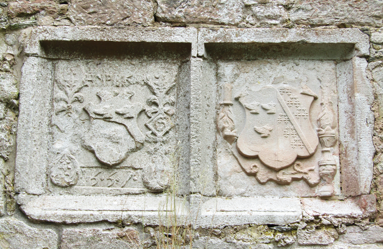
Copyright Statement: Image copyright © Colin Smith, 2024
Image Source: digital photograph taken 6 July 2024 by Colin Smith
Copyright Instructions: Standing permission
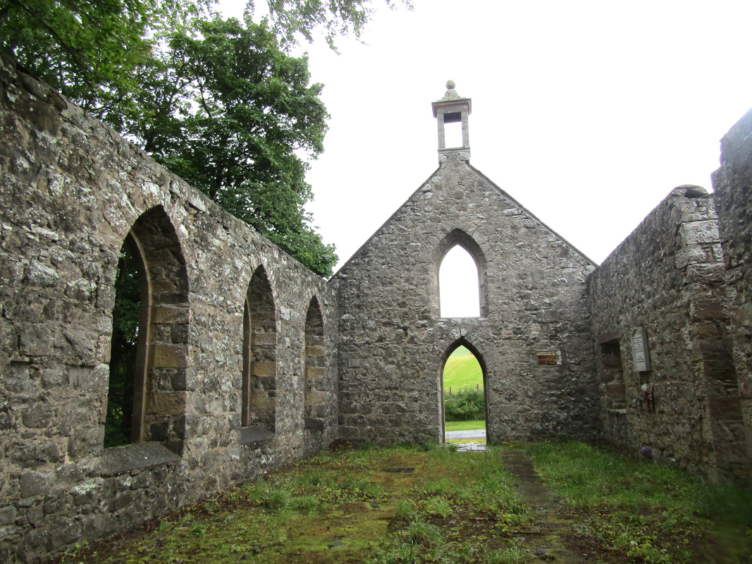
view of church exterior - southeast view
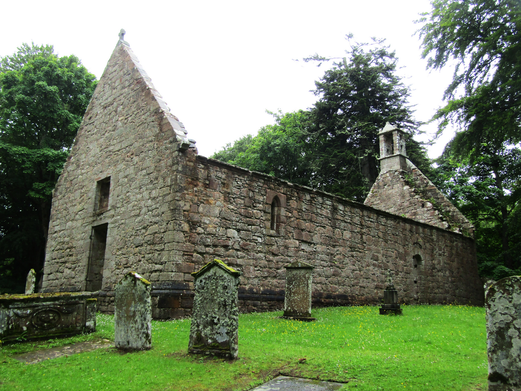
Copyright Statement: Image copyright © Colin Smith, 2024
Image Source: digital photograph taken 6 July 2024 by Colin Smith
Copyright Instructions: Standing permission
view of church exterior - west façade
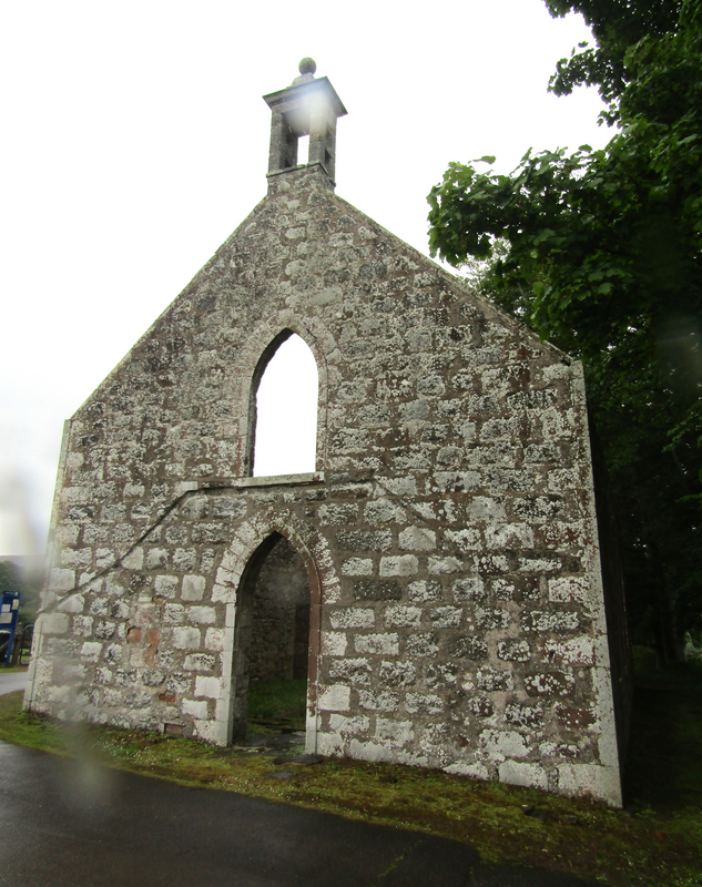
Copyright Statement: Image copyright © Colin Smith, 2024
Image Source: digital photograph taken 6 July 2024 by Colin Smith
Copyright Instructions: Standing permission
view of church interior - looking west
Copyright Statement: Image copyright © Colin Smith, 2024
Image Source: digital photograph taken 6 July 2024 by Colin Smith
Copyright Instructions: Standing permission
INFORMATION
Font ID: 26294UBK
Object Type: Baptismal Font1?
Font Century and Period/Style: 13th century (early?)
Church / Chapel Name: St Mary's Kirk, Auchindoir
Font Location in Church: disappeared?
Church Patron Saint(s): St. Mary the Virgin
Church Notes: early 13thC church; disused since 1810; roofless since the early 19thC; now a Scheduled Ancient Monument
Church Address: Clatt Road, Rhynie, Auchindoir, AB54 4JB, United Kingdom
Site Location: Aberdeenshire, Scotland, United Kingdom
Directions to Site: Located off the B9002, W of the A97, between Rhynie and Lumsden, 55-60 km NW of Aberdeen
Additional Comments: disappeared font? (the one from the medieval church here)
Credit and Acknowledgements: We are grateful to Colin Smith for bringing this site to our attention and for his photographs of the church
COORDINATES
UTM: 30V 507915 6351748
Latitude & Longitude (Decimal): 57.308611, -2.868611
Latitude & Longitude (DMS): 57° 18′ 31″ N, 2° 52′ 7″ W