Burghead / Am Broch / Burgheid / The Broch
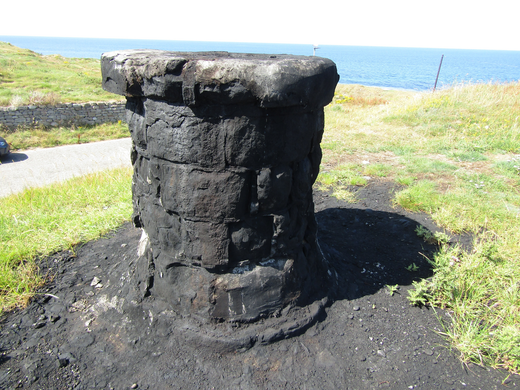
Image copyright © Colin Smith, 2026
Standing permission
Results: 4 records
view of context
Copyright Statement: Image copyright © Colin Smith, 2026
Image Source: digital photograph 2025 by Colin Smith
Copyright Instructions: Standing permission
view of context
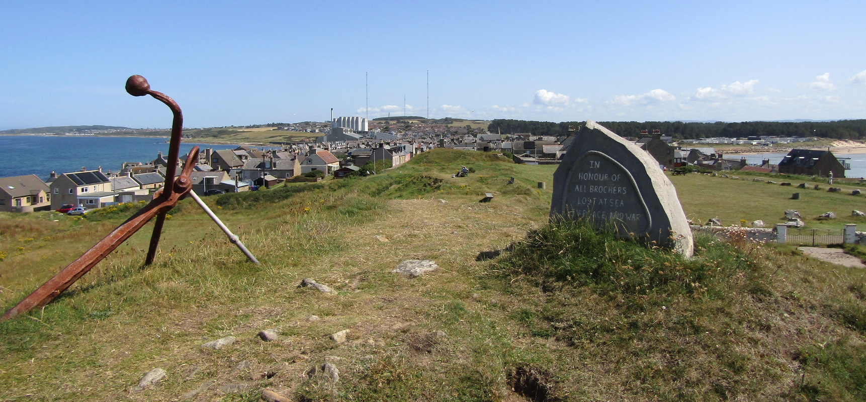
Scene Description: the Burghead area
Copyright Statement: Image copyright © Colin Smith, 2026
Image Source: digital photograph 2025 by Colin Smith
Copyright Instructions: Standing permission
view of well - holy well
![[cf. FontNotes]](/static-50478a99ec6f36a15d6234548c59f63da52304e5/compressed/1260308026_compressed.png)
Scene Description: [cf. FontNotes]
Copyright Statement: Image copyright © Colin Smith, 2026
Image Source: digital photograph 2025 by Colin Smith
Copyright Instructions: Standing permission
view of context
![the access to the holy well [cf. FontNotes]](/static-50478a99ec6f36a15d6234548c59f63da52304e5/compressed/1260308025_compressed.png)
Scene Description: the access to the holy well [cf. FontNotes]
Copyright Statement: Image copyright © Colin Smith, 2026
Image Source: digital photograph 2025 by Colin Smith
Copyright Instructions: Standing permission
INFORMATION
Font ID: 26198JKN
Object Type: Other
Object Details: holy-well?
Font Location in Church: not in a church
Church Notes: A Pictish site that may -or may not- have been usede as baptistery or holy well
Church Address: [NB: address given for the site -- not a church] King St, Burghead, Elgin IV30 5XG, United Kingdom
Site Location: Moray, Scotland, United Kingdom
Directions to Site: Located off the B9089, about 13 km NW of Elgin, about 50 km NE of Inverness
Town/City Wikipedia: https://fr.wikipedia.org/wiki/Burghead#cite_note-Sellar-5
Font Notes:
Click to view
A well, cistern or font of about 1.2 m in depth has been thought to be in some sources as a possible early baptistery associated with the cult of St. Aethan. The entry for this site in Undiscovered Scotland [https://www.undiscoveredscotland.co.uk/burghead/well/index.html] [accessed 8 March 2026] notes: "The theories explaining the origin of Burghead Well are many and various. For some it was built as a bath house by Romans, and it certainly looks rather like one. For others it was a place of Pagan worship of the Gods of the Earth, with the tank possibly being used for ritual sacrifices. Still others saw it as a Christian baptismal font [...] It could, of course, also have served as a source of water for baptisms after the Picts' conversion to Christianity. It is less clear that the well had any obvious Pagan purpose."
Credit and Acknowledgements: We are grateful to Colin Smith for bringing this site to our attention and for his photographs of it
COORDINATES
Latitude & Longitude (Decimal): 57.700426, 3° 29′ 4.84″ W
Latitude & Longitude (DMS): 57° 42′ 1.54″ N, 3° 29′ 4.84″ W