Damme nr. Bruges
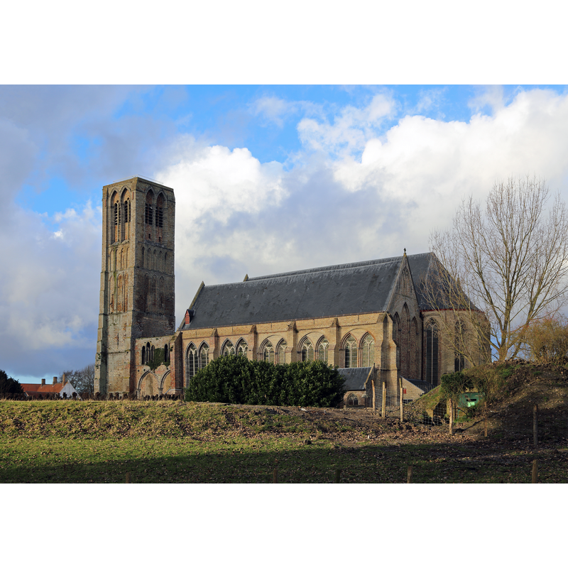
Image copyright © Marc Ryckaert (MJJR), 2014
CC-BY-SA-3.0
Results: 2 records
view of church exterior - southeast view
Scene Description: Source caption: "Damme (België): de Onze-Lieve-Vrouw Hemelvaartkerk"
Copyright Statement: Image copyright © Marc Ryckaert (MJJR), 2014
Image Source: digital photograph 2 January 2014 by Marc Ryckaert (MJJR) [https://commons.wikimedia.org/wiki/File:Damme_Church_R13.jpg] [accessed 16 June 2024]
Copyright Instructions: CC-BY-SA-3.0
view of church interior - looking east
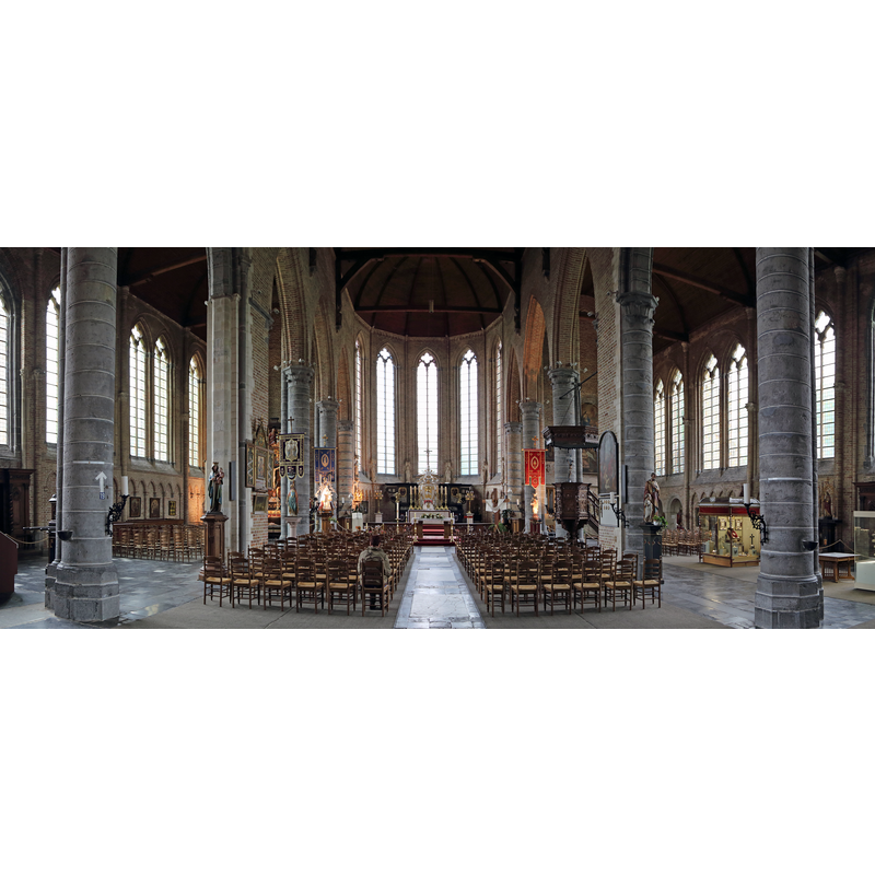
Scene Description: Source caption: "Damme (provincie West-Vlaanderen, België): binnenzicht van de Onze-Lieve-Vrouwekerk"
Copyright Statement: Image copyright © Marc Ryckaert (MJJR), 2014
Image Source: digital image composed 28 May 2014 by Marc Ryckaert (MJJR) [https://commons.wikimedia.org/wiki/File:Damme_Church_R13.jpg] [accessed 16 June 2024]
Copyright Instructions: CC-BY-SA-3.0
INFORMATION
Font ID: 25560DAM
Object Type: Baptismal Font1?
Font Date: n.d.
Font Century and Period/Style: Medieval
Church / Chapel Name: Onze-Lieve-Vrouw-Hemelvaartkerk, Damme
Font Location in Church: [disappeared]
Church Patron Saint(s): The Assumption of St. Mary
Church Notes: 1180 chapel of ease to Oostkerke; re-built 1210-1225 as basilical church; expanded 13th and 14thC; plundered by Berggars 1578; restored 1620s; modified 1725; restored 1890s, again 1902-1904; church redundant 2018
Church Address: Kerkstraat, 8340 Damme, Belgium
Site Location: West-Vlaanderen / Flandre Occidentale, Vlaanderen / Flandres, Belgium, Europe
Directions to Site: Located of road N374, about 8 km NE of Bruges
Additional Comments: disappeared font? (the one from one of the medieval churches here -- reported broken among debris in 1833
Font Notes:
Click to view
A communication to BSI from Pol Herman (e-mail of 14 June 2024) informs: "Of the first church in Damme, built around 1180, no traces are left. Between 1210 and 1225, a new church was built, more to the north of the old one, where a new harbour city had grown. By the end of the 17th century, the city had shrunk to a small village because the harbour had silted up. Large parts of the gothic church were demolished around 1725-1727, as there were no enough funds to pay for its repair. The Messager des Sciences Historiques et Archives des Arts de Belgique, Volume 16, of 1848 mentions on page 416 that under the ruins of the tower, among other dumped debris, one could see the old broken baptismal font. No trace of it today. The present font dates from 1833."
Credit and Acknowledgements: We are gratefult to Pol Herman for bringing this font to our attention and for his help in documenting it
COORDINATES
UTM: 31U 519729 5677603
Latitude & Longitude (Decimal): 51.24945, 3.282686
Latitude & Longitude (DMS): 51° 14′ 58.02″ N, 3° 16′ 57.67″ E