Rhoon
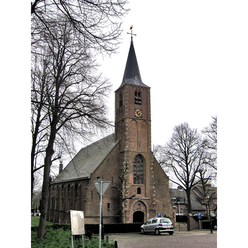
Image copyright © M.Minderhoud. 2006
GFDL / CC-BY-SA-3.0-migrated
Results: 4 records
view of church exterior - northeast view
Scene Description: Source caption: "Rhoon, Albrandswaard, 23 april 2006"
Copyright Statement: Image copyright © M.Minderhoud. 2006
Image Source: digital photograph 23 April 2006 by M.Minderhoud [https://commons.wikimedia.org/wiki/File:Rhoon_005.jpg] [accessed 4 May 2024]
Copyright Instructions: GFDL / CC-BY-SA-3.0-migrated
view of church exterior - southeast view
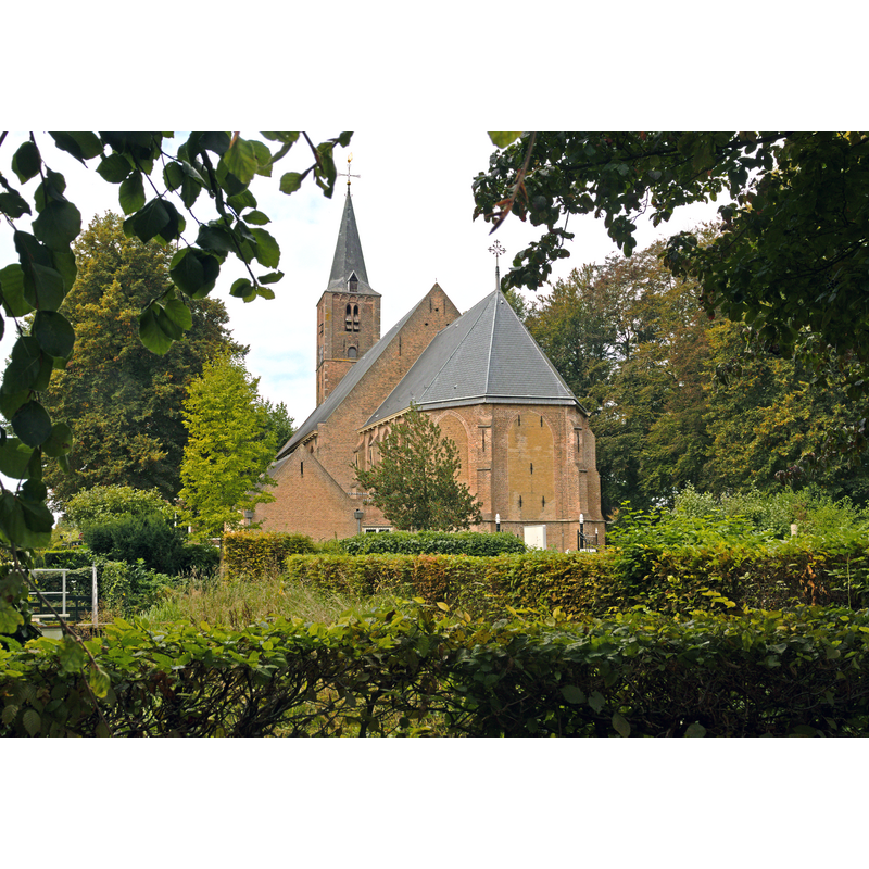
Scene Description: Source caption: "De Dorpskerk te Rhoon in de gemeente Albrandswaard, Nederland"
Copyright Statement: Image copyright © Johan Bakker, 2021
Image Source: digital photograph 24 September 2021 by Johan Bakker [https://commons.wikimedia.org/wiki/File:De_Dorpskerk_te_Rhoon.jpg] [accessed 4 May 2024]
Copyright Instructions: CC-BY-SA-4.0
view of church interior - looking east
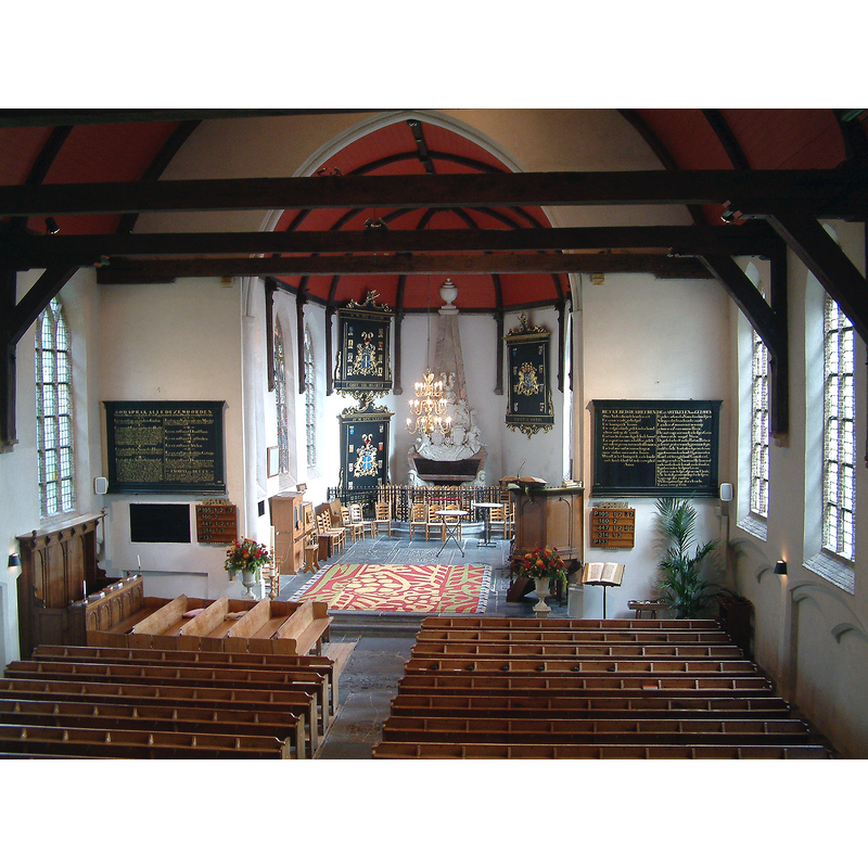
Scene Description: Source caption: "Hervormde kerk van Rhoon Koor"
Copyright Statement: Image copyright © S.J. de Waard, 2006
Image Source: digital photograph 29 September 2006 by S.J. de Waard [https://commons.wikimedia.org/wiki/File:Hervormde_kerk_Rhoon_Koor.JPG] [accessed 4 May 2024]
Copyright Instructions: GFDL / CC-BY-3.0
Infromation
![[cf. FontNotes]](/static-50478a99ec6f36a15d6234548c59f63da52304e5/others/permission_not_available.jpg)
Scene Description: [cf. FontNotes]
Copyright Statement: Image copyright © Nieuwe Schiedamse Courant, 1940
Image Source: digital image of content in the 7 May 1940 edition of the Nieuwe Schiedamse Courant
Copyright Instructions: PERMISSION NOT AVAILABLE – IMAGE NOT FOR PUBLIC USE
INFORMATION
Font ID: 25477RGO
Object Type: Baptismal Font1
Font Date: n.d.
Font Century and Period/Style: 15th - 16th century, Late Gothic
Church / Chapel Name: Hervormde Dorpskerk van Rhoon
Font Location in Church: [cf. FontNotes]
Church Patron Saint(s): St. Willibrord [aka Willibrordus]
Church Notes: tower completed 1430; church modified and complet ca. 1500, dedicated to St Wilibrord; baptistery adjacent ot the tower demolished 1881
Church Address: Anthony van Hobokenstraat 65, 3161 KD Rhoon, Netherlands
Site Location: Zuid-Holland, Netherlands, Europe
Directions to Site: Located off (N) the N492 and the Stationsstraat, on the N bank of the Oude Maas river, just SW of Rotterdam
Additional Comments: buried font? / disappeared font? [cf. FontNotes]
Font Notes:
Click to view
A communication to BSI from Pol Herman (e-mail of 18 March 2024) includes an article in the 7th May 1940 edition of the Nieuwe Schiedamse Courant, which informs "that the foundations of the baptistery and of the baptismal font have been found during the restauration of the church." Pol Herman further notes: "Unfortunately, I have not been able to make any progress in the search for more information during the last two years."
COORDINATES
UTM: 31U 597670 5746449
Latitude & Longitude (Decimal): 51.860281, 4.418331
Latitude & Longitude (DMS): 51° 51′ 37.01″ N, 4° 25′ 5.99″ E