Saulces-Monclin No. 2
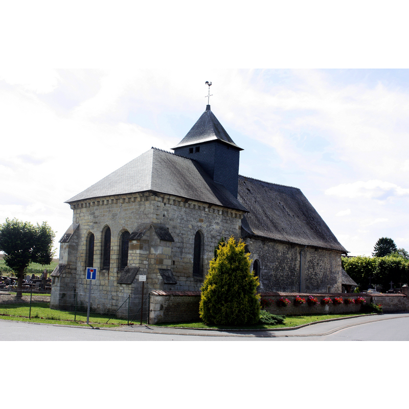
Image copyright © Francis Neuvens, 2009
CC-BY-SA-3.0
Results: 2 records
view of church exterior - northeast view
Scene Description: Source caption: "Saulces-Monclin (08 Ardennes) - Chapelle Sainte-Marie"
Copyright Statement: Image copyright © Francis Neuvens, 2009
Image Source: digital photograph 31 July 2009 by Francis Neuvens [https://commons.wikimedia.org/wiki/File:Saulces-Monclin_(08_Ardennes)_-_Chapelle_Sainte-Marie_-_Photo_Francis_Neuvens_lesardennesvuesdusol.fotoloft.fr.jpg] [accessed 1 November 2023]
Copyright Instructions: CC-BY-SA-3.0
view of church exterior - southwest view
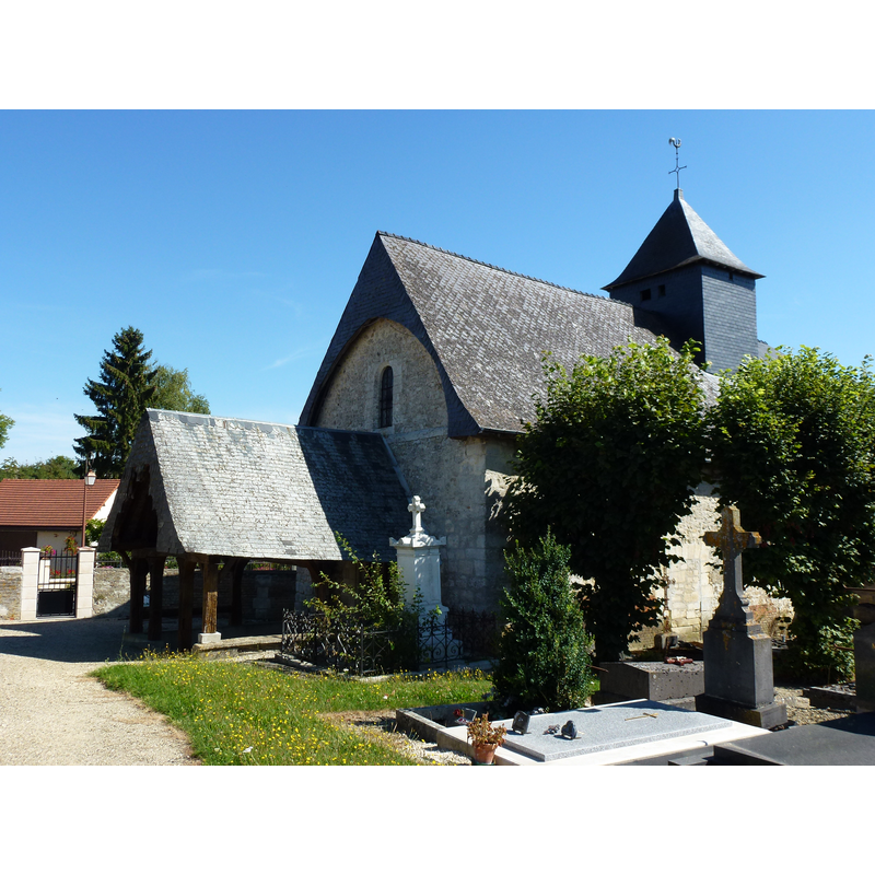
Scene Description: Source caption: "Saulces-Monclin (Ardennes) chapelle au cimetière"
Copyright Statement: Image copyright © [in the public domain]
Image Source: digital photograph 27 August 2012 by Havang(nl) [https://commons.wikimedia.org/wiki/File:Saulces-Monclin_(Ardennes)_chapelle_au_cimetière_(2).JPG] [accessed 1 November 2023]
Copyright Instructions: CC-Zero
INFORMATION
Font ID: 25018SAU
Object Type: Baptismal Font1?
Font Date: n.d.
Font Century and Period/Style: 13th century, Medieval
Church / Chapel Name: Chapelle de la Vieille Ville / Chapelle Sainte-Marie de Saulces-Monclin
Font Location in Church: [disappeared]
Church Patron Saint(s): St. Mary the Virgin
Church Notes: 13thC chapel; modified 16thC -- listed chapel in Mérimée [ref.: PA00078512]: "Chapelle, y compris le porche [...] 13e siècle ; 16e siècle"
Church Address: 18 Rue de la Vieille ville, 08270 Saulces-Monclin, France
Site Location: Ardennes, Grand Est, France, Europe
Directions to Site: Located off the D8 [aka Rue de la Vieille ville], E of the A34, 15 km NE of Rethel, about 50 km NE of Reims
Ecclesiastic Region: Diocèse de Reims-Ardennes
Historical Region: Champagne-Ardenne
Additional Comments: disaapeared font? (the one from the 13thC church here)
Font Notes:
Click to view
[NB: we have no information on the font of the 13th-century chapel here]
COORDINATES
UTM: 31U 607912 5492616
Latitude & Longitude (Decimal): 49.5765, 4.4927
Latitude & Longitude (DMS): 49° 34′ 35.4″ N, 4° 29′ 33.72″ E