Tveta nr. Hultsfred
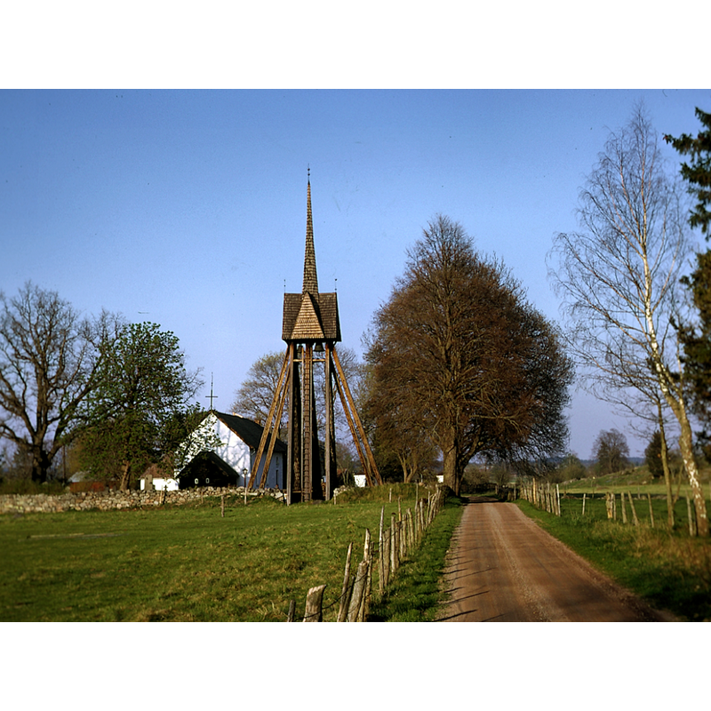
Image copyright © Borjanne, 2005
CC-BY-SA-4.0
Results: 3 records
view of church exterior in context
Copyright Statement: Image copyright © Borjanne, 2005
Image Source: digital photograph 11 April 2005 by Borjanne [https://commons.wikimedia.org/wiki/File:Tveta_kyrka.tif] [accessed 27 July 2023]
Copyright Instructions: CC-BY-SA-4.0
view of church exterior in context - southwest view
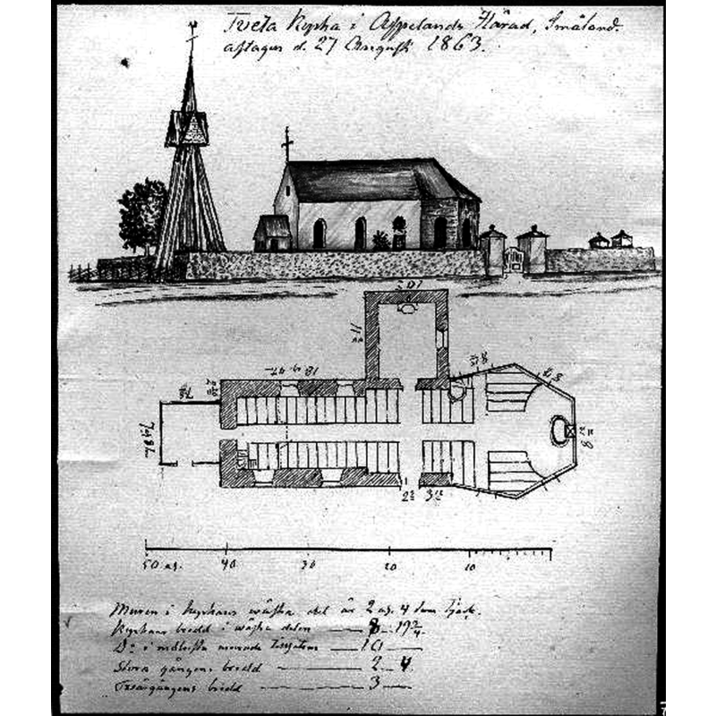
Scene Description: Source caption: "Skiss över kyrkan samt planritning över densamme. Av N. I. Löfgren."
Copyright Statement: Image copyright © [in the public domain]
Image Source: digital image [2338-007.TIF] of a 1863 drawing by N. I. Löfgren in the Kulturmiljöbild, Riksantikvarieämbetet [https://commons.wikimedia.org/wiki/File:Tveta_kyrka_-_KMB_-_16000200089035.jpg] [accessed 27 July 2023]
Copyright Instructions: PD Sweden
view of church interior - looking east
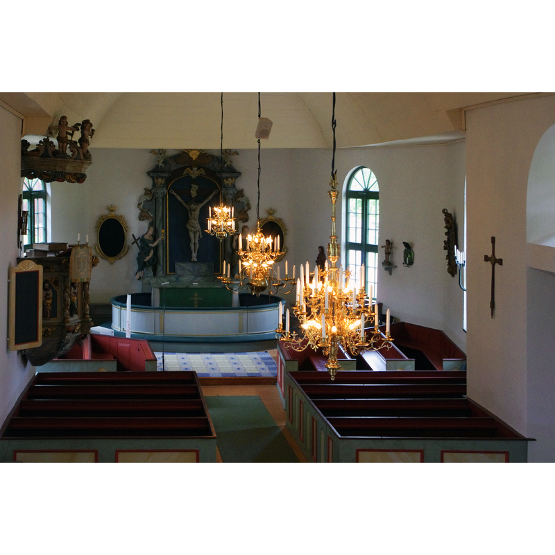
Scene Description: Source caption: "Tveta kyrkas altare"
INFORMATION
Font ID: 24831TVE
Object Type: Baptismal Font1?
Font Century and Period/Style: 12th century, Romanesque
Church / Chapel Name: Tveta kyrka
Font Location in Church: [disappeared]
Church Notes: 12thC church; looted by Danish troops in 1567; re-built 1726; renovated 2013 and 2016;
Church Address: Tveta kyrkby, 570 84 Mörlunda, Sweden -- Tel.: +46 495 24 05 05
Site Location: Småland, Linköpings län, Sweden, Europe
Directions to Site: Located off local road H675, 3-4 km WNW of Mörlunda, in the municipality of Hultsfred, about 40 km W of Oskarshamn
Ecclesiastic Region: Linköpings stift
Additional Comments: disappeared font? (the one from the medieval church here
Font Notes:
Click to view
[NB: we have no information on the font of the 12th-century church here]
COORDINATES
UTM: 33V 548973 6353851
Latitude & Longitude (Decimal): 57.324944, 15.813278
Latitude & Longitude (DMS): 57° 19′ 29.8″ N, 15° 48′ 47.8″ E