Walkington / Walcheton / Walchinton / Walchintone

Image copyright © Colin Hinson, 2023
Image and permission received from the author (e-mail and dowload of 26 April 2023)
Results: 5 records
view of basin - upper view
Scene Description: the 18thC(?) font
Copyright Statement: Image copyright © Colin Hinson, 2023
Image Source: digital photograph 9 April 2023 by Colin Hinson
Copyright Instructions: Image and permission received from the author (e-mail and dowload of 26 April 2023)
view of church exterior - northwest view
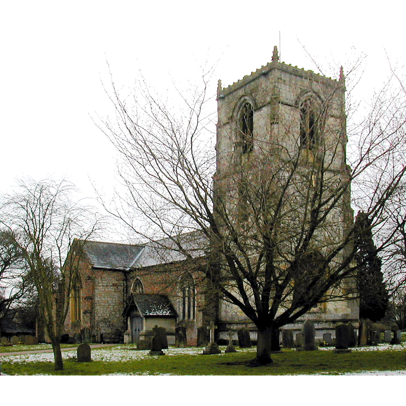
Scene Description: Source caption: "All Hallows Church, Kirk Lane, Walkington. The church has origins in the 12th century."
Copyright Statement: Image copyright © Bernard Sharp, 2008
Image Source: edited detail of a digital photograph 7 April 2008 by Bernard Sharp [https://www.geograph.org.uk/photo/3255179] [accessed 26 April 2023]
Copyright Instructions: CC-BY-SA-2.5
view of font and cover in context
Scene Description: the 18thC(?) font
Copyright Statement: Image copyright © Colin Hinson, 2023
Image Source: digital photograph 9 April 2023 by Colin Hinson
Copyright Instructions: Image and permission received from the author (e-mail and dowload of 26 April 2023)
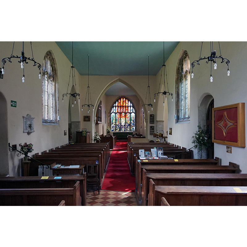
view of church interior - looking west
![Source caption: "All Hallows Church, Walkington" -- showing the 18thC(?) font at the far [west] end](/static-50478a99ec6f36a15d6234548c59f63da52304e5/compressed/1230426014_compressed.png)
Scene Description: Source caption: "All Hallows Church, Walkington" -- showing the 18thC(?) font at the far [west] end
Copyright Statement: Image copyright © Ian S, 2017
Image Source: digital photograph 12 July 2017 by Ian S [https://www.geograph.org.uk/photo/5459876] [accessed 26 April 2023]
Copyright Instructions: CC-BY-SA-2.5
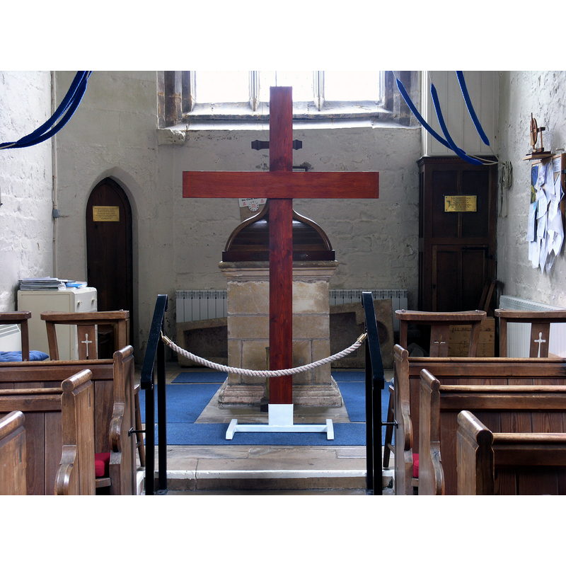
view of church interior - looking east
Scene Description: Source caption: "All Hallows Church, Walkington"
Copyright Statement: Image copyright © Ian S, 2017
Image Source: digital photograph 12 July 2017 by Ian S [https://www.geograph.org.uk/photo/5459827] [accessed 26 April 2023]
Copyright Instructions: CC-BY-SA-2.5
INFORMATION
Font ID: 24702WAL
Object Type: Baptismal Font1?
Font Century and Period/Style: 12th century, Norman
Church / Chapel Name: Parish Church of All Hallows
Font Location in Church: [disappeared]
Church Patron Saint(s): All Saints
Church Address: Walkington, Beverley, HU17, United Kingdom
Site Location: East Riding of Yorkshire, Yorkshire and the Humber, England, United Kingdom
Directions to Site: Located off the B1230, 5 km SW of Beverley
Historical Region: Hundred of Welton
Additional Comments: disappeared font? (the one from the 12thC church here)
Font Notes:
Click to view
There are three entries -one of which is for multiple places- for Walkington [variant spellings] in the Domesday survey [https://opendomesday.org/place/SE9937/walkington/] [accessed 26 April 2023], none of which mentions clerid or church in it. The entry for this church in Historic England [Listing NGR: SE9984936824] notes: "Church of All Hallows II* Church. C12 origins, C14, C15 west tower, north side rebuilt c1818 [...] Font: square with moulded base and top: perhaps C18." [NB: we have no information on thont of the 12th-century church here]
Credit and Acknowledgements: We are grateful to Colin Hinson, of www.yorkshireCDbooks.com, for bringing this font to our attention and for his photographs of the modern font
COORDINATES
UTM: 30U 665571 5966218
Latitude & Longitude (Decimal): 53.8181, -0.484817
Latitude & Longitude (DMS): 53° 49′ 5.16″ N, 0° 29′ 5.34″ W