Wijchmaal / Vuicmale / Wichmale / Wijchmael / Wimale / Wyghmale
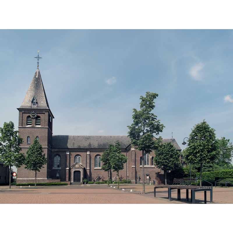
Image copyright © Michielverbeek, 2014
CC-BY-SA-3.0
Results: 1 records
view of church exterior - south view
Scene Description: Source caption: "Wijchmaal, parochiekerk Sint-Trudo / Wijchmaal, église (parochiekerk Sint-Trudo)"
Copyright Statement: Image copyright © Michielverbeek, 2014
Image Source: digital photograph 4 May 2014 by Michielverbeek [https://commons.wikimedia.org/wiki/File:Wijchmaal,_parochiekerk_Sint-Trudo_oeg80821_foto1_2014-05-04_14.44.jpg] [accessed 17 December 2022]
Copyright Instructions: CC-BY-SA-3.0
INFORMATION
Font ID: 24523WIJ
Object Type: Baptismal Font1
Font Century and Period/Style: 11th century, Romanesque
Church / Chapel Name: De Sint-Trudokerk
Font Location in Church: [cf. FontNotes]
Church Patron Saint(s): St. Trudo
Church Notes: church here (quarta capella) documented 11thC; became independent parish 1608; demolished except the 15thC tower in 1878; re-built soon therereafter-- listed church [#80821]
Church Address: Sint Trudostraat, Wijchmaal , 3990 Peer, Belgium
Site Location: Limburg, Vlaanderen / Flandres, Belgium, Europe
Directions to Site: Located off (N) the N73, in the municipality and 3 km WNW of Peer, 20-25 km N of Hasselt
Additional Comments: disappeared font? (the one from the medieval church here) [cf. FontNotes]
Font Notes:
Click to view
No entry found for a font in this church in BALaT KIK-IRPA. The entry for this church in the Onroerenderfgoed [https://inventaris.onroerenderfgoed.be/erfgoedobjecten/80821] [accessed 17 December 2022] reports a neo-Romanesque baptismal font of stone and marble from 1901 with a brass cover in the new church: "1901 gedateerde, neoromaanse doopvont van hardsteen en marmer, met deksel van messing".
A communication from Pol Herman (e-mail of 11 August 2022) notes: "In 1901, a new baptismal font was donated to the church, and the old font was taken by an Antwerp antiques dealer. Since then, its track is lost."
A communication from Pol Herman (e-mail of 11 August 2022) notes: "In 1901, a new baptismal font was donated to the church, and the old font was taken by an Antwerp antiques dealer. Since then, its track is lost."
Credit and Acknowledgements: We are grateful to Pol Herman for bringing this font to our attention and for his help in documenting it
COORDINATES
UTM: 31U 668889 5667751
Latitude & Longitude (Decimal): 51.136281, 5.4141
Latitude & Longitude (DMS): 51° 8′ 10.61″ N, 5° 24′ 50.76″ E