Bavel
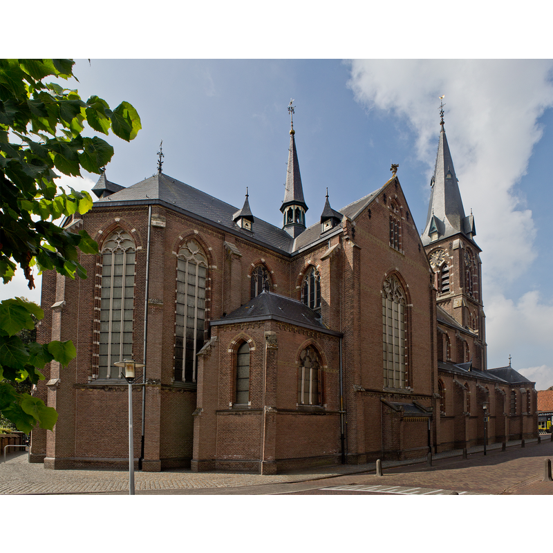
Image copyright © Johan Bakker, 2016
CC-BY-SA-4.0
Results: 1 records
view of church exterior - northeast view
Scene Description: Source caption: "Zicht op een deel van de Heilige Maria Hemelvaartkerk, Brigidastraat 1, 4854 CL Bavel. Gelegen in het centrum van Bavel"
Copyright Statement: Image copyright © Johan Bakker, 2016
Image Source: dfigital photograph 3 September 2016 by Johan Bakker [https://commons.wikimedia.org/wiki/File:30494_H._Maria_Hemelvaartkerk_bavel_3.jpg] [accessed 11 November 2022]
Copyright Instructions: CC-BY-SA-4.0
INFORMATION
Font ID: 24444BAV
Object Type: Baptismal Font1?
Font Date: ca. 1300?
Font Century and Period/Style: 13th - 14th century, Gothic
Church / Chapel Name: Heilige Maria Hemelvaartkerk
Font Location in Church: [cf. FontNotes]
Church Patron Saint(s): The Assumtion of St. Mary [old church dedicated to St. Bridget [aka Birgitta, Brigida]]
Church Notes: church ca. 1300 located on the Dortseweg; church dedicated to St. Brigida elevated to independent parish (quarta capella) in 1316; destroyed by fire 1484; re-built 1488;on Kerkstraat; demolished; re-built 1887-1888 on site roughly opposite the street of the old one, devoted to the Assumption of Mary -- listed church: Rijksmonument number 30494
Church Address: [NB: address & coordinates are for new church of 1887] Brigidastraat 1, 4854 CR Bavel, Netherlands
Site Location: Noord-Brabant, Netherlands, Europe
Directions to Site: Located off (E) highway A27, largely within the municipality of Breda, and about 5 km E of it
Additional Comments: disappeared / destroyed font? (the one from the medieval church here)
Font Notes:
Click to view
[NB: we have no information on the font of the medieval church here, other than there was indeed a font in it]
Credit and Acknowledgements: We are grateful to Pol Herman for bringing this font to our attention and for his help in documenting it
COORDINATES
UTM: 31U 626827 5714290
Latitude & Longitude (Decimal): 51.565408, 4.829832
Latitude & Longitude (DMS): 51° 33′ 55.47″ N, 4° 49′ 47.39″ E