Camblain l'Abbe / Camblin juxta stradellam et Camblign / Camblain-l'Abbé / Camblain-lez-le-Mont-Saint-Éloy
[Files with no machine-readable author], 2006
GFDL / CC-BY-SA-3.0-migrated / CC-BY-SA-2.5,2.0,1.0
Results: 1 records
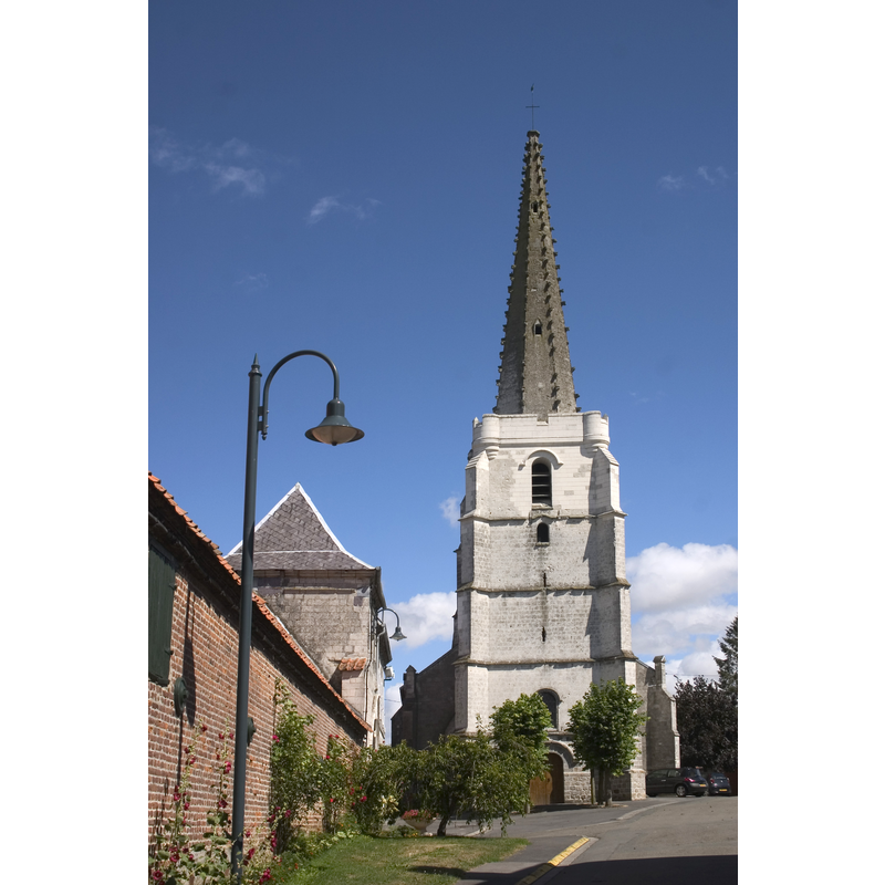
view of church exterior in context - west view
Scene Description: Source caption: "L'église de Camblain-l'Abbé."
Copyright Statement: [Files with no machine-readable author], 2006
Image Source: digital photograph 1 August 2006 [https://commons.wikimedia.org/wiki/File:Camblain01.jpg] [accessed 13 August 2022]
Copyright Instructions: GFDL / CC-BY-SA-3.0-migrated / CC-BY-SA-2.5,2.0,1.0
INFORMATION
Font ID: 24206CAM
Object Type: Stoup
Font Date: 1681
Font Century and Period/Style: 17th century(late)
Church / Chapel Name: Église paroissiale Saint-Pierre de Camblain-l'Abbé
Font Location in Church: Inside the church, wall-mounted
Church Patron Saint(s): St. Peter
Church Notes: church listed in Mérimée [ref.: PA00108249]: "16e siècle ; 17e siècle"
Church Address: rue de l'Église, 62690 Camblain-l'Abbé, France
Site Location: Pas-de-Calais, Hauts-de-France, France, Europe
Directions to Site: Located off the D341 [aka rue d'Arras], 14 km NW of Arras, 58 km NE of Amiens
Ecclesiastic Region: Diocèse d'Arras
Historical Region: Nord-Pas-de-Calais / Artois
Font Notes:
Click to view
A late-17th century wall-mounted holy-water stoup here is listed in Palissy [ref.: PM62006118] [https://www.pop.culture.gouv.fr/notice/palissy/PM62006118] [accessed 13 August 2022]: "Ce bénitier date probablement de 1681 [...] Grès : taillé [...] Scellé dans le pilier sud-est de la tour [...] H = 20 ; l = 30 (environ)". [NB: we have no information on the font of this church]
COORDINATES
UTM: 31U 473985 5579955
Latitude & Longitude (Decimal): 50.371084, 2.634176
Latitude & Longitude (DMS): 50° 22′ 15.9″ N, 2° 38′ 3.04″ E
MEDIUM AND MEASUREMENTS
Material: stone
INSCRIPTION
Inscription Notes: [cf. FontNotes]