Omonville-la-Rogue
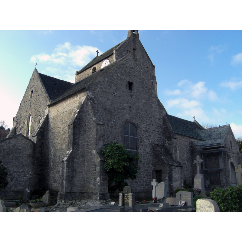
Image copyright © Guillaume Ernouf, 2011
CC-BY-SA-3.0
Results: 1 records
view of church exterior
Scene Description: Source caption: "Eglise Saint-Jean-Baptiste Omonville-la-Rogue" -- church listed in Mérimée [ref.: PA00110529]: "2e moitié 13e siècle ; 18e siècle"
Copyright Statement: Image copyright © Guillaume Ernouf, 2011
Image Source: digital photograph 26 December 2011 by Guillaume Ernouf [https://commons.wikimedia.org/wiki/File:Eglise_Saint-Jean-Baptiste_Omonville-la-Rogue_ERNOUF_Guillaume.JPG] [accessed 7 August 2022]
Copyright Instructions: CC-BY-SA-3.0
INFORMATION
Font ID: 24184OMO
Object Type: Baptismal Font1?
Font Century and Period/Style: 13th century, Gothic
Church / Chapel Name: Église paroissiale Saint-Jean-Baptiste
Font Location in Church: [disappeared]
Church Patron Saint(s): St. John the Baptist
Church Notes: church listed in Mérimée [ref.: PA00110529]: "2e moitié 13e siècle ; 18e siècle"
Church Address: Ham. Fleury, 50440 La Hague, France
Site Location: Manche, Normandie, France, Europe
Directions to Site: Located off the D45, 4 km N of La Hague, 15 km WNW of Cherbourg-en-Cotentin
Ecclesiastic Region: Diocèse de Coutances
Historical Region: Basse-Normandie
Additional Comments: disappeared font? (the one from the 13th-15thC church here)
Font Notes:
Click to view
The present font in this church is 18th-entury. It is listed [PM50000795]. [NB: we have no information on the font of the earlier church here].
COORDINATES
UTM: 30U 583307 5506201
Latitude & Longitude (Decimal): 49.702554, -1.844687
Latitude & Longitude (DMS): 49° 42′ 9.19″ N, 1° 50′ 40.87″ W