Wylder / Wilder / Wuldere
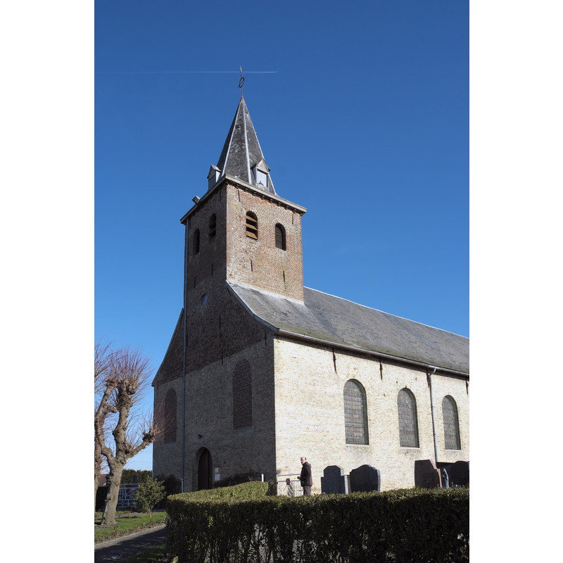
Image copyright © GFreihalter, 2014
CC-BY-SA-3.0
Results: 2 records
view of church exterior - southwest end
Scene Description: Source caprion: "Kirche Saint-Martin in Wylder im Département Nord (Nord-Pas-de-Calais/Frankreich)"
Copyright Statement: Image copyright © GFreihalter, 2014
Image Source: digital photograph 6 March 214 by GFreihalter [https://commons.wikimedia.org/wiki/File:Wylder_Saint-Martin_491.jpg] [accessed 15 May 2022]
Copyright Instructions: CC-BY-SA-3.0
view of church exterior - southeast view
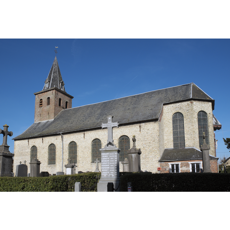
Scene Description: Source caprion: "Kirche Saint-Martin in Wylder im Département Nord (Nord-Pas-de-Calais/Frankreich)"
Copyright Statement: Image copyright © GFreihalter, 2014
Image Source: digital photograph 6 March 214 by GFreihalter [https://commons.wikimedia.org/wiki/File:Wylder_Saint-Martin_490.jpg] [accessed 15 May 2022]
Copyright Instructions: CC-BY-SA-3.0
INFORMATION
Font ID: 23958WYL
Object Type: Baptismal Font1
Font Century and Period/Style: Medieval
Church / Chapel Name: Église paroissiale Saint-Martin à Wylder
Font Location in Church: [cf. FontNotes]
Church Patron Saint(s): St. Martin of Tours
Church Notes: early church documented 1090 in a donation by Drogon de Wylder, abbé of Saint-Winoc, and [...] bishop of Thérouanne [source: https://gallica.bnf.fr/ark:/12148/bpt6k55070271/texteBrut]; church destroyed in a fire in 1795; re-built 1829-1930; -- listed in Mérimée [ref.: IA00067275]
Church Address: Ctr de l'Église, 59380 Wylder, France -- Tel.: +33 3 28 65 63 53
Site Location: Nord, Hauts-de-France, France, Europe
Directions to Site: located off the D37-D57 crossroads, E of highway A25/E42, about 20 km SSE of Dunkirk
Ecclesiastic Region: Diocèse de Lille
Historical Region: Nord-Pas-de-Calais / Flandre française / Pays de L'Alloeu
Additional Comments: disappeared / destroyed font? [cf. FontNotes]
Font Notes:
Click to view
Noted in Kees de Wildt's Doopvont de Beeldenstorm (2018: 114-120) as one of a number of baptismal fonts of the Westerkwartier (then part of Flanders, later in France) having been desecrated, damaged or destroyed during the Iconoclastic Fury of 1566. [NB: we have no information on the date / period of the font destroyed in the mid-16th century riots].
Credit and Acknowledgements: We are grateful to Pol Herman for bringing this font to our attention and for his help in documenting it
COORDINATES
UTM: 31U 464371 5640106
Latitude & Longitude (Decimal): 50.9115, 2.4932
Latitude & Longitude (DMS): 50° 54′ 41.4″ N, 2° 29′ 35.52″ E