Wormhout / Wormhoudt / Worom-Holt
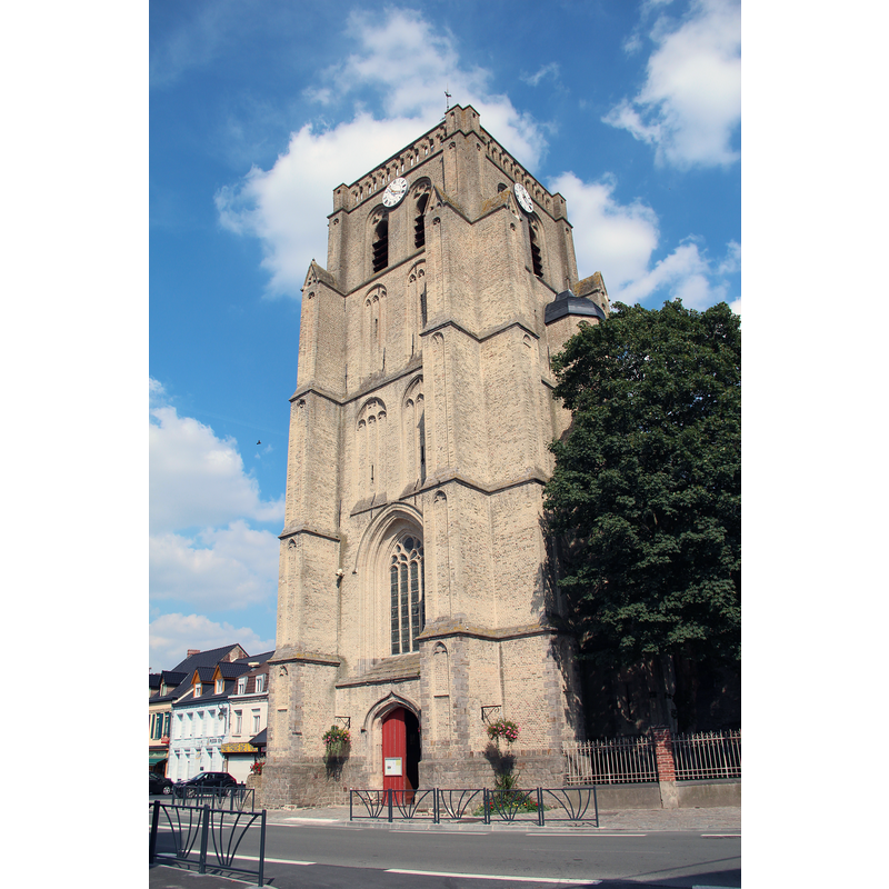
Image copyright © Jean-Pol Grandmont, 2013
GFDL / CC-BY-SA-3.0
Results: 3 records
view of church exterior - southwest end
Scene Description: Source caption: "Wormhout (France), le clocher de l'église Saint-Martin (XVIe siècle)."
Copyright Statement: Image copyright © Jean-Pol Grandmont, 2013
Image Source: digital photograph 29 August 2013 by Jean-Pol Grandmont [https://commons.wikimedia.org/wiki/File:0_Wormhout_-_Clocher_de_l'église_St-Martin_(2).JPG] [accessed 15 May 2022]
Copyright Instructions: GFDL / CC-BY-SA-3.0
view of church exterior in context
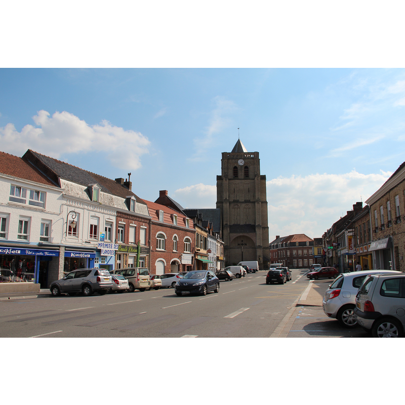
Scene Description: Source caption: "Wormhout (France), la Place du Général de Gaule et l'église Saint-Martin (XVI-XVIIe siècles)."
Copyright Statement: Image copyright © Jean-Pol Grandmont, 2013
Image Source: digital photograph 29 August 2013 by Jean-Pol Grandmont [https://commons.wikimedia.org/wiki/File:0_Wormhout_-_Église_St-Martin_et_Pl._du_Général_de_Gaulle.JPG] [accessed 15 May 2022]
Copyright Instructions: GFDL / CC-BY-SA-3.0
view of church interior - looking east
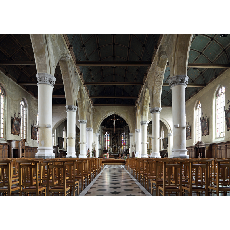
Scene Description: Source caption: "Wormhout (département du Nord, France) : vue intérieure de l'église Saint-Martin"
Copyright Statement: Image copyright © Marc Ryckaert, 2016
Image Source: digital photograph 13 October 2016 by Marc Ryckaert [https://commons.wikimedia.org/wiki/File:Wormhout_Eglise_Saint-Martin_R01.jpg] [accessed 15 May 2022]
Copyright Instructions: CC-BY-SA-4.0
INFORMATION
Font ID: 23957WOR
Object Type: Baptismal Font1
Font Century and Period/Style: Medieval
Church / Chapel Name: Église paroissiale Saint-Martin à Wormhout
Font Location in Church: [cf. FontNotes]
Church Patron Saint(s): St. Martin of Tours
Church Notes: original church said to be a late-7thC chapel dedicated to St. Winnoc; destroyed by the Vikings; re-built thereafter; badly damaged in the riots of the 16thC; present church 1613-1616; tower added 1689 -- listed in Mérimée [ref.: PA00107893]: "Siècle de la campagne principale de construction: 16e siècle ; 17e siècle"
Church Address: 1 Pl. du Général de Gaulle, 59470 Wormhout, France -- Tel.: +33 3 28 65 63 53
Site Location: Nord, Hauts-de-France, France, Europe
Directions to Site: Located off the D916 [aka av. Leclerc], 18-20 km S of Dunkirk
Ecclesiastic Region: Diocese d'Arras
Historical Region: Nord-Pas-de-Calais / Flandre française / Pays de L'Alloeu
Additional Comments: disappeared / destroyed font? [cf. FontNotes]
Font Notes:
Click to view
Noted in Kees de Wildt's Doopvont de Beeldenstorm (2018: 114-120) as one of a number of baptismal fonts of the Westerkwartier (then part of Flanders, later in France) having been desecrated, damaged or destroyed during the Iconoclastic Fury of 1566. An entry for this village in Cousemaker's Troubles reliqieux du xvie siècle dans la Flandre maritime, 1560-1570, documents originaux (Bruges, 1876) vol. 3: 81, informs of repairs done to the some furnishings of this church in 1568: "On a réparé le tabernacle et les fonts baptismaux", which probably means the font had not been totally destroyed in the previous riots. [NB: we have no iformation on the date or period of the font noted in the above sources]. A later font is listed in Palissy [ref.: PM59007837]: "Fonts en marbre gris avec couvercle en cuivre [...] 1er quart 18e siècle [...] Dans la chapelle des fonts baptismaux".
Credit and Acknowledgements: We are grateful to Pol Herman for bringing this font to our attention and for his help in documenting it
COORDINATES
UTM: 31U 462556 5636734
Latitude & Longitude (Decimal): 50.881067, 2.467736
Latitude & Longitude (DMS): 50° 52′ 51.84″ N, 2° 28′ 3.85″ E
REFERENCES
- De Wildt, Kees, "Doopvont in de Beeldenstorm", Nederlandse Kerkgeschiedenis, 21, Tijdschrift voor, 2018, pp. 114-120.