Maast-et-Violaine
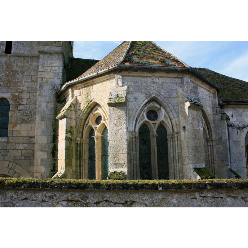
Image copyright © Faberventi, 2014
CC-BY-SA-4.0
Results: 3 records
view of church exterior - apse - detail
Scene Description: Source caption: "Église Saint-Martin de Maast-et-Violaine"
Copyright Statement: Image copyright © Faberventi, 2014
Image Source: digital photograph [edited] 31 October 2014 by Faberventi [https://commons.wikimedia.org/wiki/File:Église_Saint-Martin_de_Maast-et-Violaine_2.JPG] [accessed 15 May 2022]
Copyright Instructions: CC-BY-SA-4.0
view of church exterior - west portal
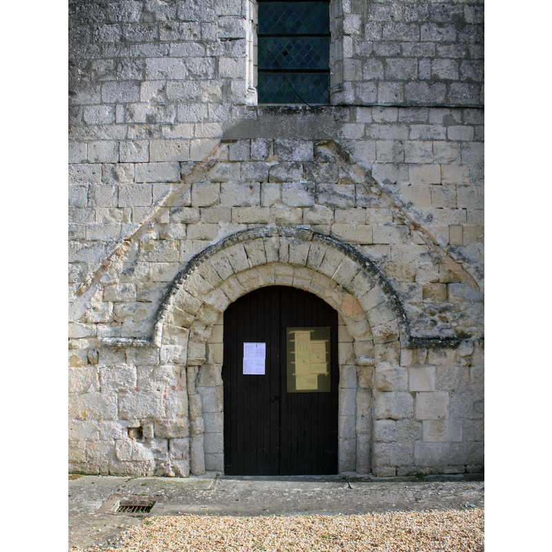
Scene Description: Source caption: "Église Saint-Martin de Maast-et-Violaine"
Copyright Statement: Image copyright © Faberventi, 2014
Image Source: digital photograph [edited] 31 October 2014 by Faberventi [https://commons.wikimedia.org/wiki/File:Église_Saint-Martin_de_Maast-et-Violaine_7.JPG] [accessed 15 May 2022]
Copyright Instructions: CC-BY-SA-4.0
view of church exterior - southwest view
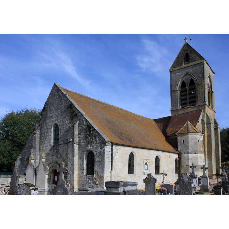
Scene Description: Source caption: "Église Saint-Martin de Maast-et-Violaine"
Copyright Statement: Image copyright © Faberventi, 2014
Image Source: digital photograph [edited] 31 October 2014 by Faberventi [https://commons.wikimedia.org/wiki/File:Église_Saint-Martin_de_Maast-et-Violaine_5.JPG] [accessed 15 May 2022]
Copyright Instructions: CC-BY-SA-4.0
INFORMATION
Font ID: 23956MAA
Object Type: Baptismal Font1
Font Century and Period/Style: 12th century, Romanesque
Church / Chapel Name: Église Saint-Martin de Maast-et-Violaine
Font Location in Church: [cf. FontNotes]
Church Patron Saint(s): St. Martin of Tours
Church Notes: 12thC church; much modified since -- listed in Mérimée [ref.: PA00115797: "Eglise [...] Siècle de la campagne principale de construction: 12e siècle ; 13e siècle ; 16e siècle" [NB: Violaine was its own parish until 1780]
Church Address: rue de l'Eglise, 02220 Maast-et-Violaine, France
Site Location: Aisne, Hauts-de-France, France, Europe
Directions to Site: Located off (W) the D831, 9-10 km SE of Soissons, about 40 km W of Reims
Historical Region: Picardie
Additional Comments: disappeared font? (the one from the 12thC church here)
Font Notes:
Click to view
[NB: we have no information of the font of the 12th-century church here]
COORDINATES
UTM: 31U 532668 5458967
Latitude & Longitude (Decimal): 49.282585, 3.449181
Latitude & Longitude (DMS): 49° 16′ 57.31″ N, 3° 26′ 57.05″ E