Rexpoede / Rekspoede / Rexpoëde / Rexpoele / Rexpouda / Rikespold / Rikespoud
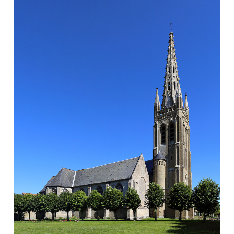
Image copyright © Marc Ryckaert (MJJR), 2014
CC-BY-SA-3.0
Results: 1 records
view of church exterior - northwest view
Scene Description: Source caption: "Rexpoëde (Département du Nord, France) : église Saint-Omer / Rexpoëde (Département du Nord, Frankrijk): Sint-Omaarskerk"
Copyright Statement: Image copyright © Marc Ryckaert (MJJR), 2014
Image Source: digital photograph 3 July 2014 by Marc Ryckaert (MJJR) [https://commons.wikimedia.org/wiki/File:Rexpoede_Eglise_R01.jpg] [accessed 13 May 2022]
Copyright Instructions: CC-BY-SA-3.0
INFORMATION
Font ID: 23946REX
Object Type: Baptismal Font1
Church / Chapel Name: Église paroissiale Saint-Omer à Rexpoëde
Font Location in Church: [cf. FontNotes]
Church Patron Saint(s): St. Omer [aka Audomar, Audomarus, Odemaars]
Church Notes: an early chapel of 1160 is documented in this villag; re-built in 1557; the earlier church was dedicated to St Nicholas but it was changed to St. Omer in the 19thC;
Church Address: allée de Saint-Omer, 59122 Rexpoëde, France -- Tel.: +33 3 28 68 32 78
Site Location: Nord, Hauts-de-France, France, Europe
Directions to Site: Located off the D55-D916A crossroads, 18 km SW of Dunkirk, 60 km NW of Lille
Ecclesiastic Region: Diocèse de Lille [formerly in the Diocèse de Thérouanne]
Historical Region: Nord-Pas-de-Calais / Flandre française / Flandre maritime / Comté de Flandres
Font Notes:
Click to view
Noted in Kees de Wildt's Doopvont de Beeldenstorm (2018: 114-120) as one of a number of baptismal fonts of the Westerkwartier (then part of Flanders, later in France) having been desecrated, damaged or destroyed during the Iconoclastic Fury of 1566 [NB: particulars of the riots in other sources note that the 'gueux' from Hondschoote assassinated the priest, his curate and the sacristan during the mass on 25 January 1567]. [NB: we have no information on the date or period of the font damaged or destroyed in 1566, as the church had been re-built in 1557]
Credit and Acknowledgements: We are grateful to Pol Herman for bringing this font to our attention and for his help in documenting it
COORDINATES
UTM: 31U 467665 5643109
Latitude & Longitude (Decimal): 50.9387, 2.5398
Latitude & Longitude (DMS): 50° 56′ 19.32″ N, 2° 32′ 23.28″ E
REFERENCES
- De Wildt, Kees, "Doopvont in de Beeldenstorm", Nederlandse Kerkgeschiedenis, 21, Tijdschrift voor, 2018, pp. 114-120.