Heuringhem / Hoeringhem / Horinghem
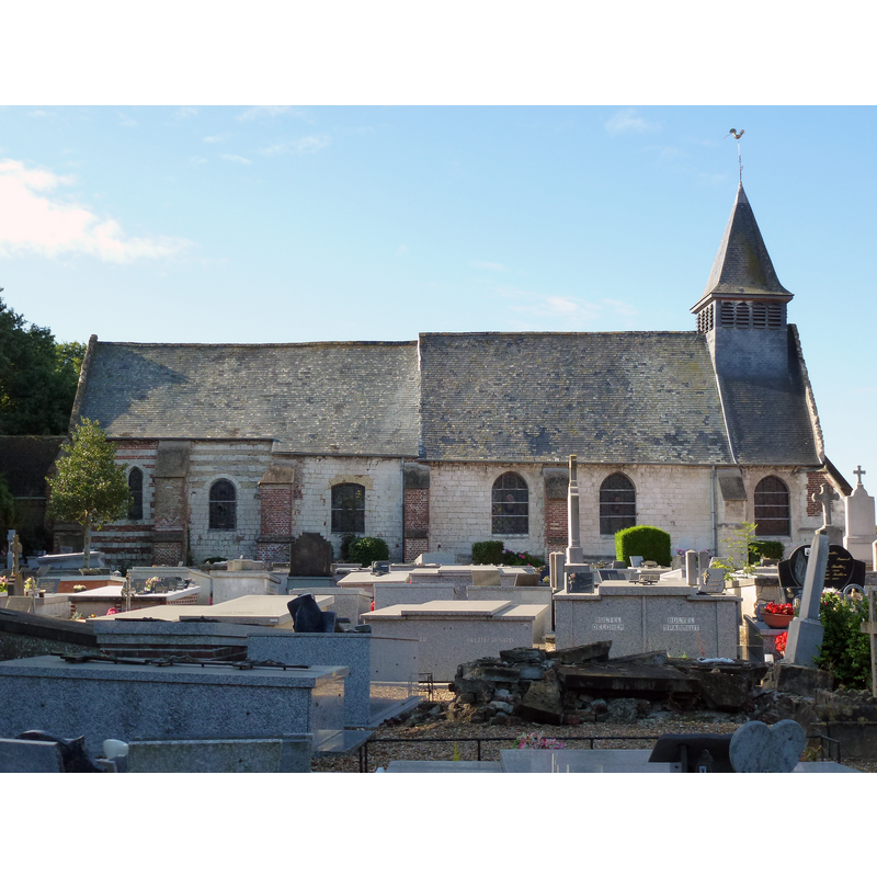
Image copyright © [in the public domain]
CC-Zero
Results: 2 records
view of church exterior in context - north view
Scene Description: Source caption: "Heuringhem (Pas-de-Calais, Fr) église Saint-Riquier"
Copyright Statement: Image copyright © [in the public domain]
Image Source: digital photograph 19 August 2013 by Havang(nl) [https://commons.wikimedia.org/wiki/File:Heuringhem_(Pas-de-Calais,_Fr)_église_Saint-Riquier_(01).JPG] [accessed 12 May 2022]
Copyright Instructions: CC-Zero
view of church exterior in context - southwest view
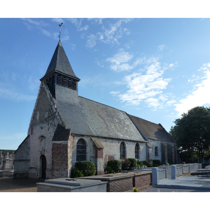
Scene Description: Source caption: "Heuringhem (Pas-de-Calais, Fr) église Saint-Riquier"
Copyright Statement: Image copyright © [in the public domain]
Image Source: edited detail of a digital photograph 19 August 2013 by Havang(nl) [https://commons.wikimedia.org/wiki/File:Heuringhem_(Pas-de-Calais,_Fr)_église_Saint-Riquier_(02).JPG] [accessed 12 May 2022]
Copyright Instructions: CC-Zero
INFORMATION
Font ID: 23936HEU
Object Type: Baptismal Font1
Font Century and Period/Style: 15th century, Gothic
Church / Chapel Name: Église paroissiale Saint-Riquier
Font Location in Church: [disappeared]
Church Patron Saint(s): St, Riquier [aka Richarius]
Church Notes: church documented 15thC
Church Address: rue del'Eglise, 62575 Heuringhem, France
Site Location: Pas-de-Calais, Hauts-de-France, France, Europe
Directions to Site: Located S of the D77/D942, 3-4 km SE of Saint-Omer, about 40 km SSW of Dunkirk
Ecclesiastic Region: Diocese d'Arras
Historical Region: Pays de Saint-Omer / Bailliage d'Aire
Additional Comments: destroyed font? [cf. FontNotes]
Font Notes:
Click to view
Noted in Kees de Wildt's Doopvont de Beeldenstorm (2018: 114-120) as one of a number of baptismal fonts of the Westerkwartier (then part of Flanders, later in France) having been desecrated, damaged or destroyed during the Iconoclastic Fury of 1566. Palissy [ref,: PM62004975] lists a 19th-century wall-mounted stoup in this church: "Bénitier encastré dans le mur, en forme de coquille [...] 19e siècle [...] A droite en entrant dans l'église", but not a baptismal font. The whereabouts of the Gothic font not known; it was probably destroyed.
Credit and Acknowledgements: We are grateful to Pol Herman for bringing this font to our attention and for his help in documenting it
COORDINATES
UTM: 31U 450927 5617214
Latitude & Longitude (Decimal): 50.704669, 2.30505
Latitude & Longitude (DMS): 50° 42′ 16.81″ N, 2° 18′ 18.18″ E
REFERENCES
- De Wildt, Kees, "Doopvont in de Beeldenstorm", Nederlandse Kerkgeschiedenis, 21, Tijdschrift voor, 2018, pp. 114-120.