Herzeele / Herzele
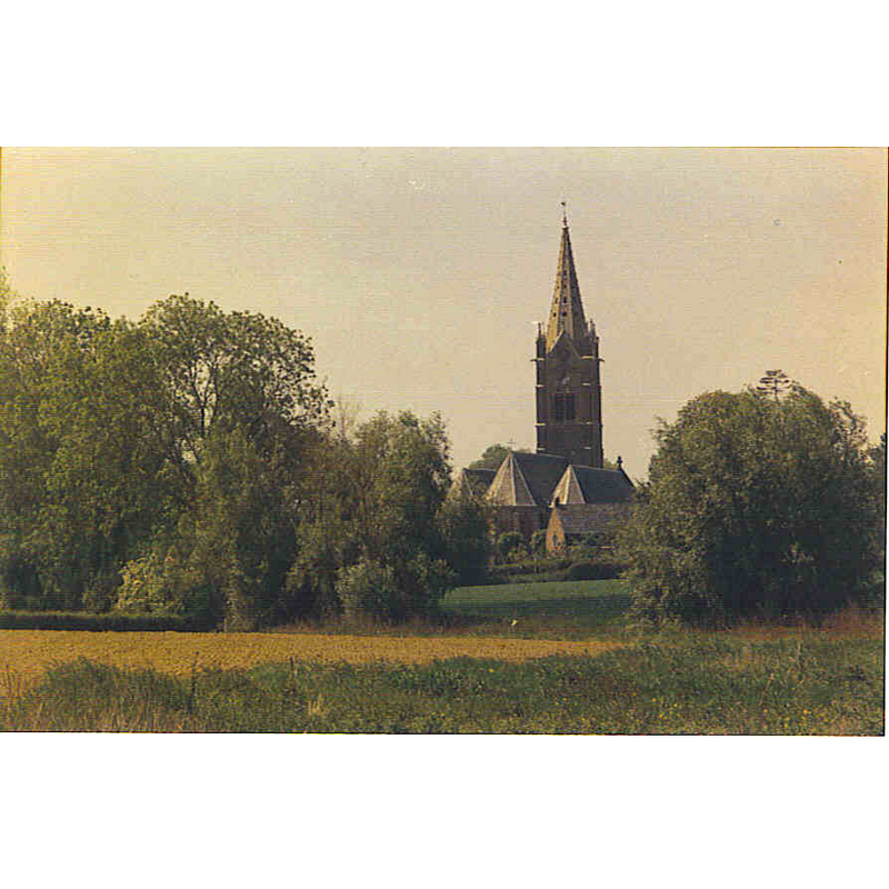
Image copyright © Wikidiafoto, 2011
CC-BY-SA-3.0
Results: 1 records
view of church exterior in context - northeast view
Scene Description: Source caption: " An-2010 à Herzeele. péllicule kodak - argentique foto - www.art-euro.eu"
Copyright Statement: Image copyright © Wikidiafoto, 2011
Image Source: digital photograph 17 August 2011 by Wikidiafoto [https://commons.wikimedia.org/wiki/File:Vue_de_l'église_d'Herzeele.jpg] [accessed 11 April 2022]
Copyright Instructions: CC-BY-SA-3.0
INFORMATION
Font ID: 23935HER
Object Type: Baptismal Font1
Font Century and Period/Style: 16th century, Late Gothic
Church / Chapel Name: Église Notre-Dame-de-l'Assomption d'Herzeele
Font Location in Church: [cf. FontNotes]
Church Patron Saint(s): The Assumption of St. Mary
Church Notes: present church 17thC
Church Address: rue de l'Eglise, 59470 Herzeele, France
Site Location: Nord, Hauts-de-France, France, Europe
Directions to Site: Located off the D17-D167 crossroads, 20 km SE of Dunkirk, about 3 km W of the border with Belgium
Ecclesiastic Region: Diocèse d'Ypres [formerly in the Diocèse de Thérouanne]
Historical Region: Nord-Pas-de-Calais
Additional Comments: disappeared / destroyed font?
Font Notes:
Click to view
Noted in Kees de Wildt's Doopvont de Beeldenstorm (2018: 114-120) as one of a number of baptismal fonts of the Westerkwartier (then part of Flanders, later in France) having been desecrated, damaged or destroyed during the Iconoclastic Fury of 1566. The present font is noted in Pormenaz [http://pormenaz.free.fr/Herzeele.php] [accessed 11 May 2022]: "La cuve ronde des fonts baptismaux 1745, est décorée de godrons et surmontée de bustes d’angelots. Le couvercle est en bois décoré faux marbre." An ex-voto of the late-16th century is mentioned in the church in the Bulletin de la Commission historique du Département du Nord, Volumes 27-28, 1909, p. 617/
Credit and Acknowledgements: We are grateful to Pol Herman for bringing this font to our attention and for his help in documenting it
COORDINATES
UTM: 31U 467109 5637352
Latitude & Longitude (Decimal): 50.8869, 2.5324
Latitude & Longitude (DMS): 50° 53′ 12.84″ N, 2° 31′ 56.64″ E
REFERENCES
- De Wildt, Kees, "Doopvont in de Beeldenstorm", Nederlandse Kerkgeschiedenis, 21, Tijdschrift voor, 2018, pp. 114-120.