Fleurbaix / Florbaiz / Vloerbeek
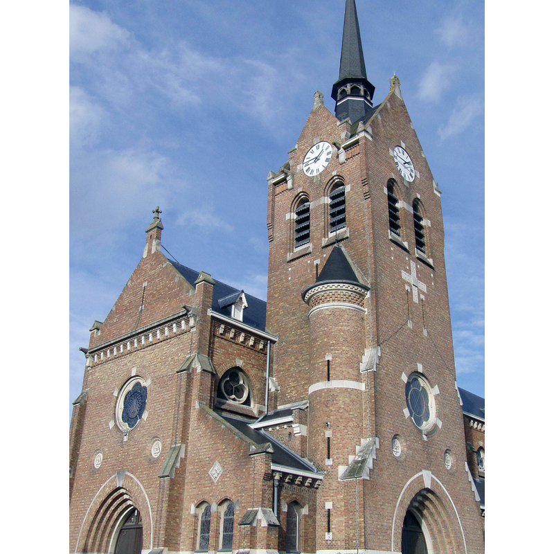
Image copyright © Vanno, 2006
GFDL / CC-BY-SA-3.0-migrated
Results: 1 records
view of church exterior - southwest end - detail
Scene Description: Source caption: "Kerk van Fleurbaix."
Copyright Statement: Image copyright © Vanno, 2006
Image Source: digital photograph 12 November 2006 by Vanno [https://commons.wikimedia.org/wiki/File:Kerk_van_Fleurbaix.jpg] [accessed 11 May 2022]
Copyright Instructions: GFDL / CC-BY-SA-3.0-migrated
INFORMATION
Font ID: 23930FLE
Object Type: Baptismal Font1
Font Century and Period/Style: Medieval
Church / Chapel Name: Église Notre-Dame-du-Joyel
Font Location in Church: [cf. FontNotes]
Church Patron Saint(s): St. Mary the Virgin
Church Notes: medieval church destroyed in WWI -- present church consecrated 1929
Church Address: 2 pl. Jean le Vasseur, 62840 Fleurbaix, France -- Tel.: +33 3 21 27 64 53
Site Location: Pas-de-Calais, Hauts-de-France, France, Europe
Directions to Site: Located off the D171, 4-5 km SW of Armentières, about 20 km WNW of Lille, near the border with Belgium
Ecclesiastic Region: Diocèse de Lille
Historical Region: Nord-Pas-de-Calais / Flandre française / Pays de l'Alleu / Lalloeu / Comté de Flandre / Pays d'Artois
Font Notes:
Click to view
Noted in Kees de Wildt's Doopvont de Beeldenstorm (2018: 114-120) as one of a number of baptismal fonts of the Westerkwartier (then part of Flanders, later in France) having been desecrated, damaged or destroyed during the Iconoclastic Fury of 1566. [NB: the font here was probably destroyed when the church itself fell under WWI bombings]
Credit and Acknowledgements: We are garteful to Pol Herman for bringing this font to our attention and for his help in documenting it
COORDINATES
UTM: 31U 488179 5611165
Latitude & Longitude (DMS): 50° 39′ 7″ N, 2° 50′ 0″ E
REFERENCES
- De Wildt, Kees, "Doopvont in de Beeldenstorm", Nederlandse Kerkgeschiedenis, 21, Tijdschrift voor, 2018, pp. 114-120.