Dranouter / Nouter
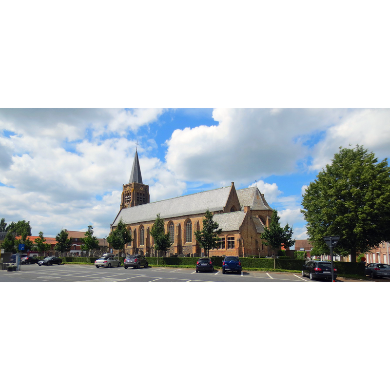
Image copyright © Herpoel, 2013
CC-BY-SA-4.0
Results: 1 records
view of church exterior in context - southeast view
Copyright Statement: Image copyright © Herpoel, 2013
Image Source: digital photograph 25 June 2013 by Herpoel [https://commons.wikimedia.org/wiki/File:Dranouterpanorama09.jpg] [accessed 8 May 2022]
Copyright Instructions: CC-BY-SA-4.0
INFORMATION
Font ID: 23925DRA
Object Type: Baptismal Font1
Church / Chapel Name: Sint-Jan-Baptistkerk / Sint-Jan de Dopper Katholieke Kerk
Font Location in Church: [disappeared]
Church Patron Saint(s): St. John the Baptist
Church Address: Planciusplein 20, 8951 Heuvelland, Belgium
Site Location: West-Vlaanderen / Flandre Occidentale, Vlaanderen / Flandres, Belgium, Europe
Directions to Site: Located off the N322 [aka Dranouterstraat], in the municipality and 3 km SW of Heuvelland, about 12 km SW of Ypres, just E of the border with France
Historical Region: Flandre
Additional Comments: disappeared or destroyed font
Font Notes:
Click to view
Noted in Kees de Wildt's Doopvont de Beeldenstorm (2018: 114-120) as one of a number of baptismal fonts of the Westerkwartier (then part of Flanders, later chiefly in France) having been desecrated, damaged or destroyed during the Iconoclastic Fury of 1566. No entry found for a font here in the BALaT KIK-IRPA. [NB: we have no further information on the font of this church]
Credit and Acknowledgements: We are grateful to Pol Herman for bringing this font to our attention and for his help in documenting it
COORDINATES
UTM: 31U 484717 5623858
Latitude & Longitude (Decimal): 50.76629, 2.78329
Latitude & Longitude (DMS): 50° 45′ 58.64″ N, 2° 46′ 59.84″ E
REFERENCES
- De Wildt, Kees, "Doopvont in de Beeldenstorm", Nederlandse Kerkgeschiedenis, 21, Tijdschrift voor, 2018, pp. 114-120.