Caestre / Caëstre / Kaaster
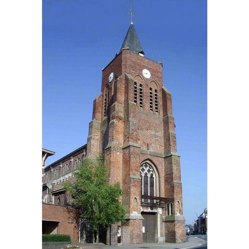
Image copyright © Codepem, 2009
GFDL / CC-BY-SA-3.0,2.5,2.0,1.0
Results: 2 records
view of church exterior - northwest view
Scene Description: Source caption: "L’église St Omer de Caëstre (Nord, France)."
Copyright Statement: Image copyright © Codepem, 2009
Image Source: digital photograph April 2009 by Codepem [https://commons.wikimedia.org/wiki/File:Caestre-01.jpg] [accessed 8 May 2022]
Copyright Instructions: GFDL / CC-BY-SA-3.0,2.5,2.0,1.0
view of church exterior - south view
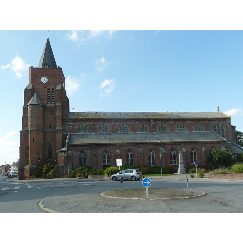
Scene Description: Source caption: " l’église Saint-Omer Caëstre, Nord, France"
Copyright Statement: Image copyright © Pierre André Leclercq, 2015
Image Source: digital photograph [edited] 17 September 2015 by Pierre André Leclercq [https://commons.wikimedia.org/wiki/File:Caestre,_l’église_Saint-Omer_(2).jpg] [accessed 8 May 2022]
Copyright Instructions: CC-BY-SA-4.0
INFORMATION
Font ID: 23924CAE
Object Type: Baptismal Font1
Church / Chapel Name: Église paroissiale Saint-Omer à Caëstre
Font Location in Church: [disappeared]
Church Patron Saint(s): St. Omer [aka Audomar, Audomarus, Odemaars]
Church Notes: 14th-16thC tower; church re-built in 1793 after a fire; re-built 1880-1884; damaged in WWI and WWII; restored 1963
Church Address: 40 Av. du Général de Gaulle, 59190 Caëstre, France -- Tel.: +33 3 28 40 16 25
Site Location: Nord, Hauts-de-France, France, Europe
Directions to Site: Located off the confluence of the D61, D933 and D947, 5-6 km NE of Hazebrouck, just W of the border with Belgium, about 50 km NW of Lille
Ecclesiastic Region: Diocèse de Lille
Historical Region: Nord-Pas-de-Calais / Fladre
Additional Comments: disappeared or destroyed font
Font Notes:
Click to view
Noted in Kees de Wildt's Doopvont de Beeldenstorm (2018: 114-120) as one of a number of baptismal fonts of the Westerkwartier (then part of Flanders, later in France) having been desecrated, damaged or destroyed during the Iconoclastic Fury of 1566. [NB: we have no further information on the font of this church]
Credit and Acknowledgements: We are grateful to Pol Herman for bringing this font to our attention and for his help in documenting it
COORDINATES
UTM: 31U 472098 5623144
Latitude & Longitude (Decimal): 50.7594, 2.6044
Latitude & Longitude (DMS): 50° 45′ 33.84″ N, 2° 36′ 15.84″ E