Broxeele / Brocsele / Brocselo / Broxele / Broksele / Broxeela / Brucsela / Brusele
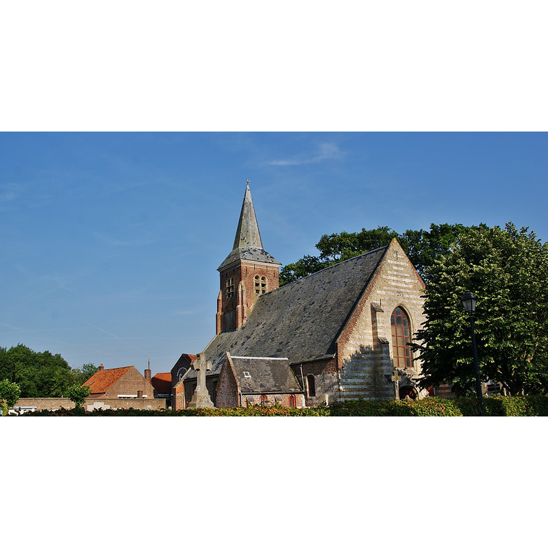
Image copyright © Bastien pierre, 2013
CC-BY-SA-3.0
Results: 2 records
view of church exterior - southeast view
Scene Description: Source caption: "L'église"
Copyright Statement: Image copyright © Bastien pierre, 2013
Image Source: digital photograph 21 July 2013 by Bastien pierre [https://commons.wikimedia.org/wiki/File:015_Broxeele_(_59470_).JPG] [accessed 8 May 2022]
Copyright Instructions: CC-BY-SA-3.0
view of church exterior - northeast view
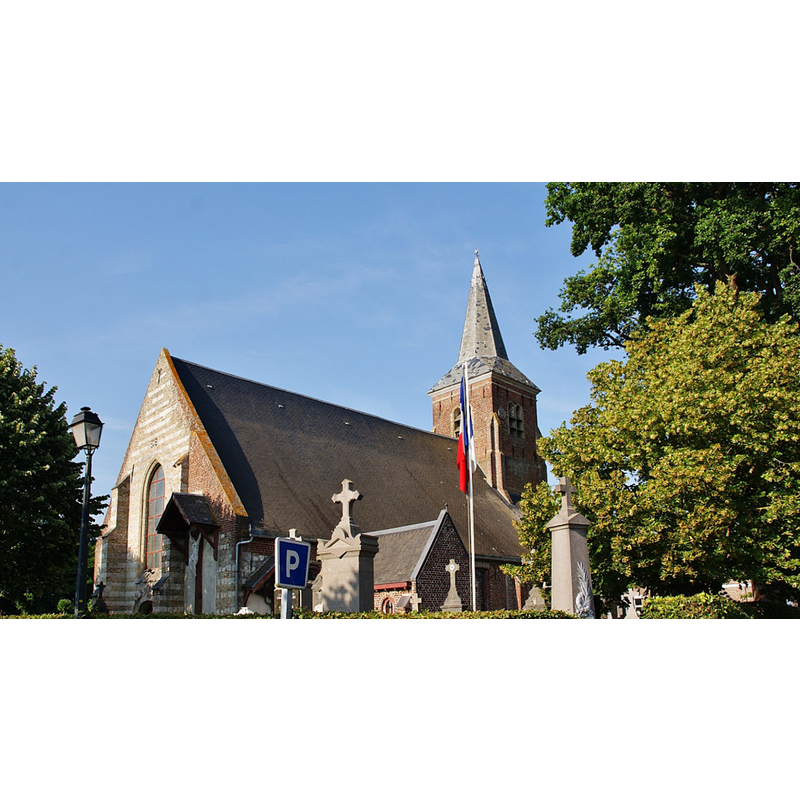
Scene Description: Source caption: "L'église"
Copyright Statement: Image copyright © Bastien.pierre, 2013
Image Source: digital photograph 21 July 2013 by Bastien pierre [https://commons.wikimedia.org/wiki/File:018_Broxeele_(_59470_).JPG] [accessed 8 May 2022]
Copyright Instructions: CC-BY-SA-3.0
INFORMATION
Font ID: 23923BRO
Object Type: Baptismal Font1
Church / Chapel Name: Église paroissiale Saint-Quentin
Font Location in Church: [disappeared]
Church Patron Saint(s): St. Quentin [aka Quentin of Amiens, Quintin, Quintinus]
Church Address: Kerckovehouck / rte. de Rubrouck Cd 911, 59470 Broxeele, France -- Tel.: +33 3 28 68 02 45
Site Location: Nord, Hauts-de-France, France, Europe
Directions to Site: Located off the D211 [aka rue du Rubrouck], E of the D928, 15 km NE of Saint-Omer, 20-25 km SW of Dunkerque
Ecclesiastic Region: Diocèse de Saint-Omer [formerli the Diocèse de Thérouanne]
Historical Region: Nord-Pas-de-Calais / Comté de Flandre / Comté d'Artois / Duché de Bourgogne / Pays-Bas
Additional Comments: disappeared or destroyed font
Font Notes:
Click to view
Noted in Kees de Wildt's Doopvont de Beeldenstorm (2018: 114-120) as one of a number of baptismal fonts of the Westerkwartier (then part of Flanders, later in France) having been desecrated, damaged or destroyed during the Iconoclastic Fury of 1566. [NB: we have no further information on the font of this church]
Credit and Acknowledgements: We are grateful to Pol Herman for bringing this font to our attention and for his help in documenting it
COORDINATES
UTM: 31U 452225 5631205
Latitude & Longitude (Decimal): 50.83059, 2.32162
Latitude & Longitude (DMS): 50° 49′ 50.12″ N, 2° 19′ 17.83″ E
REFERENCES
- De Wildt, Kees, "Doopvont in de Beeldenstorm", Nederlandse Kerkgeschiedenis, 21, Tijdschrift voor, 2018, pp. 114-120.