Bailleul / Belle
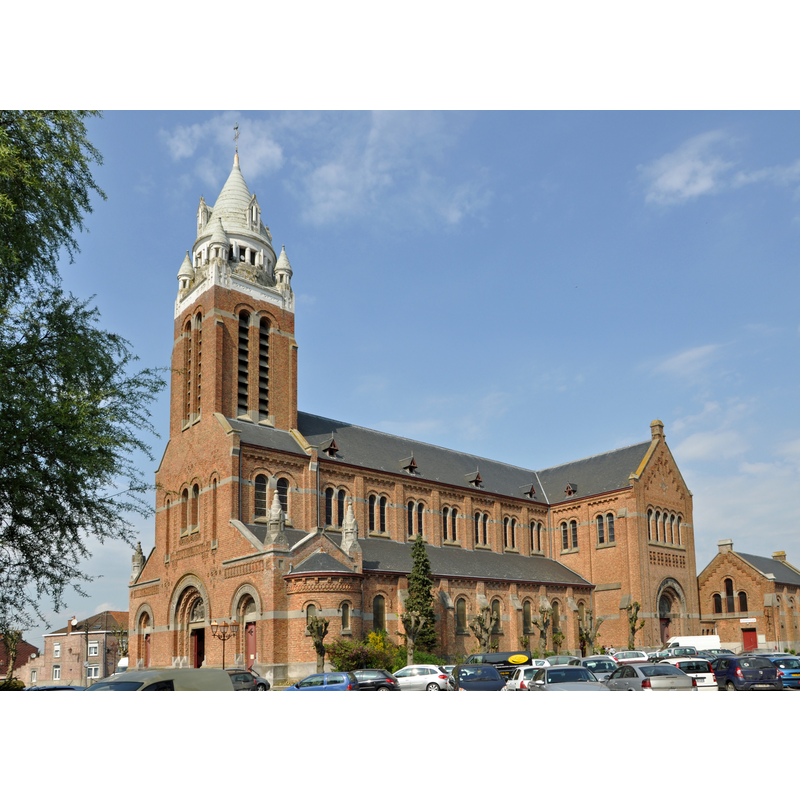
Image copyright © Marc Ryckaert (MJJR), 2011
CC-BY-SA-3.0
Results: 3 records
view of church exterior - southwest view
Scene Description: Source caption: "Bailleul (Département du Nord, France): l'église Saint-Vaast, oeuvre de l'architecte Louis Marie Cordonnier (1854-1940)"
Copyright Statement: Image copyright © Marc Ryckaert (MJJR), 2011
Image Source: digital photograph 21 April 2011 by Marc Ryckaert (MJJR) [https://commons.wikimedia.org/wiki/File:Bailleul_Saint_Vaast_R01.jpg] [accessed 8 May 2022]
Copyright Instructions: CC-BY-SA-3.0
view of church exterior - southeast view
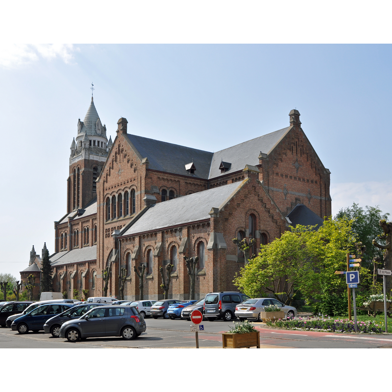
Scene Description: Source caption: "Bailleul (Département du Nord, France): l'église Saint-Vaast, oeuvre de l'architecte Louis Marie Cordonnier (1854-1940)"
Copyright Statement: Image copyright © Marc Ryckaert (MJJR), 2011
Image Source: digital photograph 21 April 2011 by Marc Ryckaert (MJJR) [https://commons.wikimedia.org/wiki/File:Bailleul_Saint_Vaast_R02.jpg] [accessed 8 May 2022]
Copyright Instructions: CC-BY-SA-3.0
view of church interior - looking east
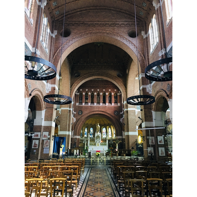
Scene Description: Source caption: "Église Saint-Vaast de Bailleul"
Copyright Statement: Image copyright © Carnage 2000, 2020
Image Source: digital photograph 20 July 2020 by Carnage 2000 [https://commons.wikimedia.org/wiki/File:Église_Saint-Vaast_de_Bailleul_intérieur_06.jpg] [accessed 8 May 2022]
Copyright Instructions: CC-BY-SA-4.0
INFORMATION
Font ID: 23922BAI
Object Type: Baptismal Font1
Church / Chapel Name: Église Saint-Vaast de Bailleul
Font Location in Church: [cf. FontNotes]
Church Patron Saint(s): St. Vedast [aka Foster, Vaast, Vedastus]
Church Notes: earlier church destroyed 1918
Church Address: rue Benoît Cortyl / pl. du Cardinal Achille Lienart, 59270 Bailleul, France -- Tel.: +33 3 28 50 33 55
Site Location: Nord, Hauts-de-France, France, Europe
Directions to Site: Located at the confluence of the D23, D933 and D944 roads, N of highway A25/E42, just W of te Belgian border, about 30 km NW of Lille
Ecclesiastic Region: Diocèse de Lille
Historical Region: Nord-Pas-de-Calais
Additional Comments: destroyed font?
Font Notes:
Click to view
Noted in Kees de Wildt's Doopvont de Beeldenstorm (2018: 114-120) as one of a number of baptismal fonts of the Westerkwartier (then part of Flanders, later in France) having been desecrated, damaged or destroyed during the Iconoclastic Fury of 1566. [NB: we have no further information on the early font and assume that it was destroyed either 1577 or in 1918, in WWI, when the whole church was destroyed].
Credit and Acknowledgements: We are grateful to Pol Herman for bringing this font to our attention and for his help in documenting it
COORDINATES
UTM: 31U 481213 5620972
Latitude & Longitude (Decimal): 50.740232, 2.73375
Latitude & Longitude (DMS): 50° 44′ 24.83″ N, 2° 44′ 1.5″ E
REFERENCES
- De Wildt, Kees, "Doopvont in de Beeldenstorm", Nederlandse Kerkgeschiedenis, 21, Tijdschrift voor, 2018, pp. 114-120.