Bambecque / Bambecca / Bambeck / Bambeke / Banbeke
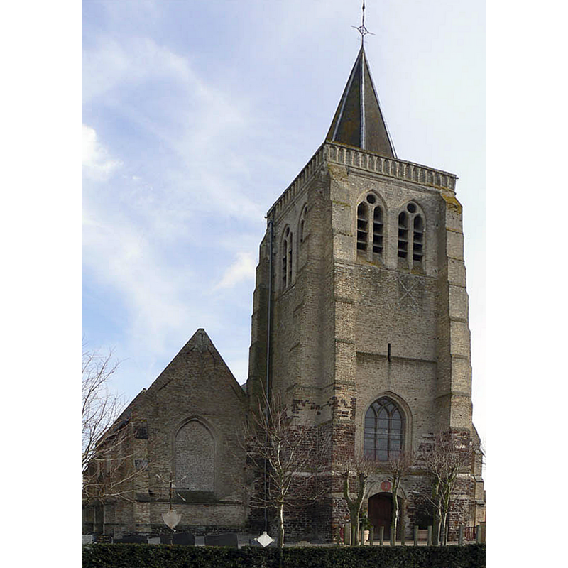
Image copyright © Wim Taveirne, 2008
GFDL / CC-BY-SA-3.0,2.5,2.0,1.0
Results: 2 records
view of church exterior - northwest view
Scene Description: Source caption: "Church of Bambeke front"
Copyright Statement: Image copyright © Wim Taveirne, 2008
Image Source: digital photograph [edited] 27 January 2008 by Wim Taveirne [https://commons.wikimedia.org/wiki/File:Kerk-Bambeke2.jpg] [accessed 8 May 2022]
Copyright Instructions: GFDL / CC-BY-SA-3.0,2.5,2.0,1.0
view of church exterior - southwest view
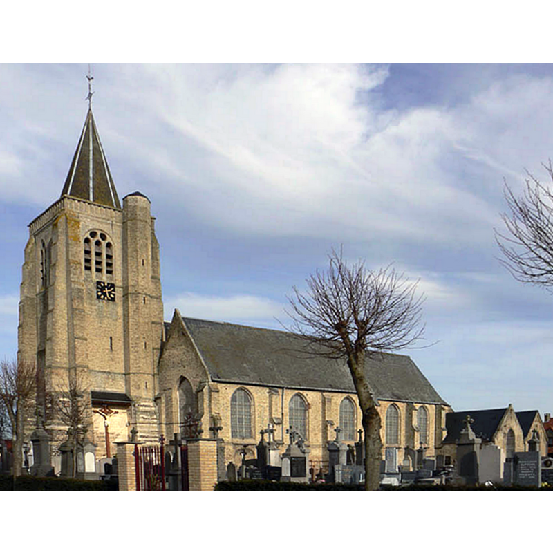
Scene Description: Source caption: "Church of Bambeke North of France"
Copyright Statement: Image copyright © Wim Taveirne, 2008
Image Source: digital photograph [edited] 27 January 2008 by Wim Taveirne [https://commons.wikimedia.org/wiki/File:Kerk-Bambeke.jpg] [accessed 8 May 2022]
Copyright Instructions: GFDL / CC-BY-SA-3.0,2.5,2.0,1.0
INFORMATION
Font ID: 23921BAM
Object Type: Baptismal Font1
Church / Chapel Name: Église paroissiale Saint-Omer à Bambecque
Font Location in Church: [cf. FontNotes]
Church Patron Saint(s): St. Omer [aka Audomar, Audomarus, Odemaars]
Church Notes: 12thC church documented 1134; modified 16th-17thC; devastated 1566-1568; restored 18thC; -- listed in Mérimée [ref.: PA59000124]
Church Address: rue de l'Église, 59470 Bambecque, France -- Tel.: +33 3 28 65 63 53
Site Location: Nord, Hauts-de-France, France, Europe
Directions to Site: Located off the confluence of the D4, D79 and D167 roads, 30 km SE of Dunkerque, 55 km NW of Lille
Ecclesiastic Region: Diocèse d'Ypres [formerly in the Diocèse de Thérouanne]
Historical Region: Nord-Pas-de-Calais / Flandres
Additional Comments: [cf. FontNotes]
Font Notes:
Click to view
Noted in Kees de Wildt's Doopvont de Beeldenstorm (2018: 114-120) as one of a number of baptismal fonts of the Westerkwartier (then part of Flanders, later in France) having been desecrated, damaged or destroyed during the Iconoclastic Fury of 1566.
Credit and Acknowledgements: We are grateful to Pol Herman for bringing this font to our attention and for his help in documenting it
COORDINATES
UTM: 31U 468140 5639054
Latitude & Longitude (Decimal): 50.902259, 2.546907
Latitude & Longitude (DMS): 50° 54′ 8.13″ N, 2° 32′ 48.86″ E
REFERENCES
- De Wildt, Kees, "Doopvont in de Beeldenstorm", Nederlandse Kerkgeschiedenis, 21, Tijdschrift voor, 2018, pp. 114-120.