Roermond No. 1 / Remunj
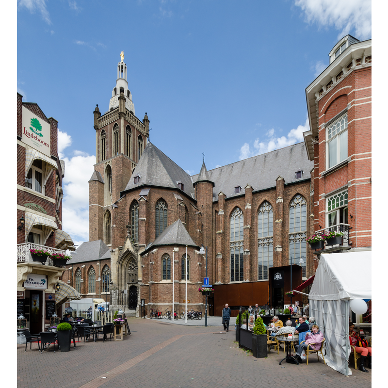
Image copyright © Tuxyso, 2014
CC-BY-SA-3.0
Results: 2 records
view of church exterior in context
Scene Description: Source caption; " Christoffelkathedraal, Bischofskirche des Bistums Roermond"
Copyright Statement: Image copyright © Tuxyso, 2014
Image Source: digital photograph 24 May 2014 vy Tuxyso [https://commons.wikimedia.org/wiki/File:Christoffelkathedraal_2014_01.jpg] [accessed 14 February 2022]
Copyright Instructions: CC-BY-SA-3.0
view of church interior - looking east
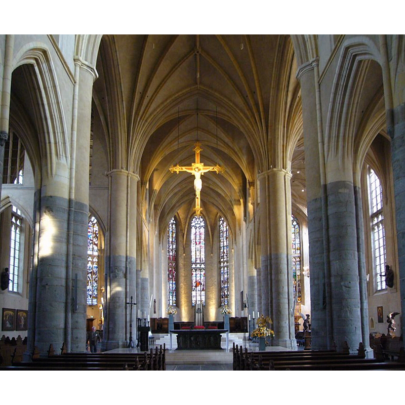
Scene Description: Source caption: "Roermond kathedraal interieur"
Copyright Statement: Image copyright © [in the public domain]
Image Source: digital photograph 6 April 2009 by Pepijntje [https://commons.wikimedia.org/wiki/File:Roermond_kathedraal_interieur.jpg] [accessed 14 February 2022]
Copyright Instructions: PD-self
INFORMATION
Font ID: 23752ROE
Object Type: Baptismal Font1?
Font Century and Period/Style: 15th century, Late Gothic
Church / Chapel Name: Rooms-Katholieke Sint Christoffelkathedraal / St. Christoffel Kathedraal Roermond
Font Location in Church: [cf. FontNotes]
Church Patron Saint(s): St. Christopher
Church Notes: present building started 1410; completed 16thC; elevated to diocese see 1661; damaged in WWII; damaged in 1992 earthquake; restored 2005-2007
Church Address: Grotekerkstraat 29, 6041 CR Roermond, Netherlands
Site Location: Limburg, Netherlands, Europe
Directions to Site: Located off (S) the N280, on the market square, on the E bank of the near the river Meuse on a pedestrian underpass leading to the outlet Centre. 50-60 km SSW of Maastricht
Ecclesiastic Region: Bisdom Roermond
Additional Comments: disappeared font? (the one from the 15thC church here)
Font Notes:
Click to view
There is a baptismal originally designed for a church in Paris by Antoon Molenboer; the Parisian church was destroyed in WWII and the font was installed in the cathedral of Roermond. There is also a 15th-century(?) statue of Christ in the Jordan believed to have been the finial of an old baptismal font cover.
Credit and Acknowledgements: We are grateful to Pol Herman for bringing this font to our attention
COORDINATES
UTM: 31U 708523 5675900
Latitude & Longitude (Decimal): 51.1964, 5.9846
Latitude & Longitude (DMS): 51° 11′ 47.04″ N, 5° 59′ 4.56″ E