Nieuwland in Vijfheerenlanden
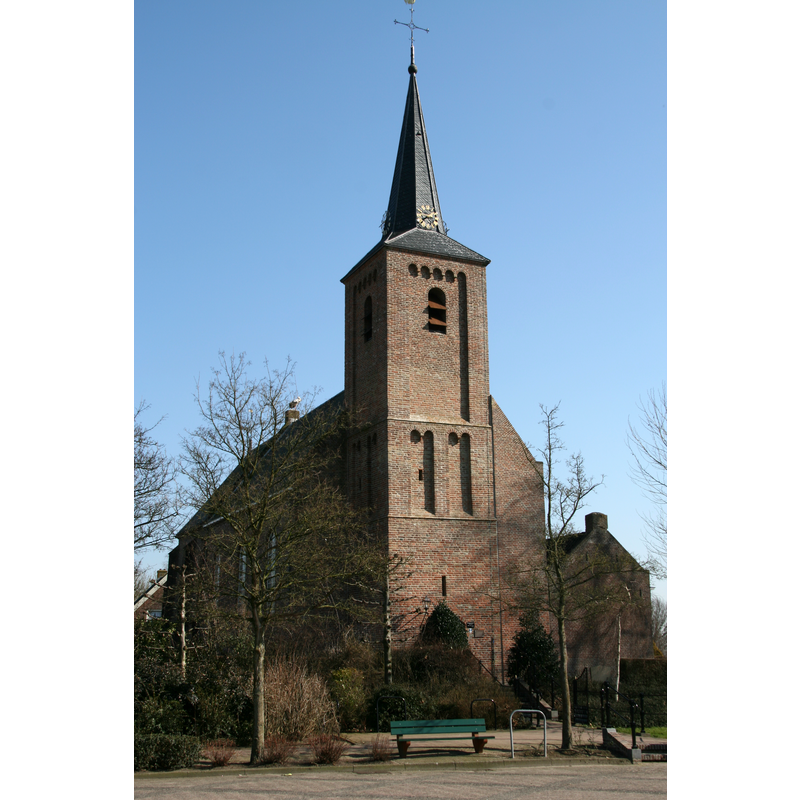
Image copyright © JHGS, 2011
CC-BY-SA-3.0
Results: 1 records
view of church exterior - northwest view
Scene Description: Source caption: "Nieuwland (Zederik) - Dorpsplein 2 - Hervormde kerk"
Copyright Statement: Image copyright © JHGS, 2011
Image Source: digital photograph 8 March 2011 by JHGS [https://commons.wikimedia.org/wiki/File:Nieuwland_(Zederik)_-_Dorpsplein_2_-_Hervormde_kerk.jpg] [accessed 7 February 2022]
Copyright Instructions: CC-BY-SA-3.0
INFORMATION
Font ID: 23732NIE
Object Type: Baptismal Font1?
Font Century and Period/Style: 11th - 14th century, Medieval
Church / Chapel Name: PKN Hervormde Kerk
Font Location in Church: [cf. FontNotes]
Church Patron Saint(s): [original dedication St. Barbara]
Church Notes: original church ca. 1025; tower base 13th-14thC; restored 1982 -- listed church [Rijksmonument no. 30531 [church]; no. 30532 [tower]]
Church Address: Dorpsplein 2 , 4243 JC Nieuwland, Netherlands
Site Location: Utrecht, Netherlands, Europe
Directions to Site: Located off (E) the A27 / E311, in the municipality of Vijfheerenlanden, 8 km N of Gorinchem, about 30 km SSW of Utrecht
Historical Region: in Utrecht province since 2019; formerly in Zuid-Holland, then Zederik
Additional Comments: disappeared font? (the one from the medieval church here)
Font Notes:
Click to view
Mr Jr. C. A. Rethaan Macaré presented the editorial committee of the Kronijk van het Historisch Genootschap gevestigd te Utrecht, veertiende jaargang 1958, derde serie, vierde deel, pag. 214, with the drawing and description of a stone baptismal font, still present at the church in Nieuwland, near Meerkerk. [NB: we have no information on the whereabouts of the medieval font of this church]
Credit and Acknowledgements: We are grateful to Pol Herman for bringing this font to our attention and for his help in documenting it
COORDINATES
UTM: 31U 638635 5751959
Latitude & Longitude (Decimal): 51.901112, 5.015094
Latitude & Longitude (DMS): 51° 54′ 4″ N, 5° 0′ 54.34″ E
MEDIUM AND MEASUREMENTS
Material: stone