Westervoort (Gelderland)
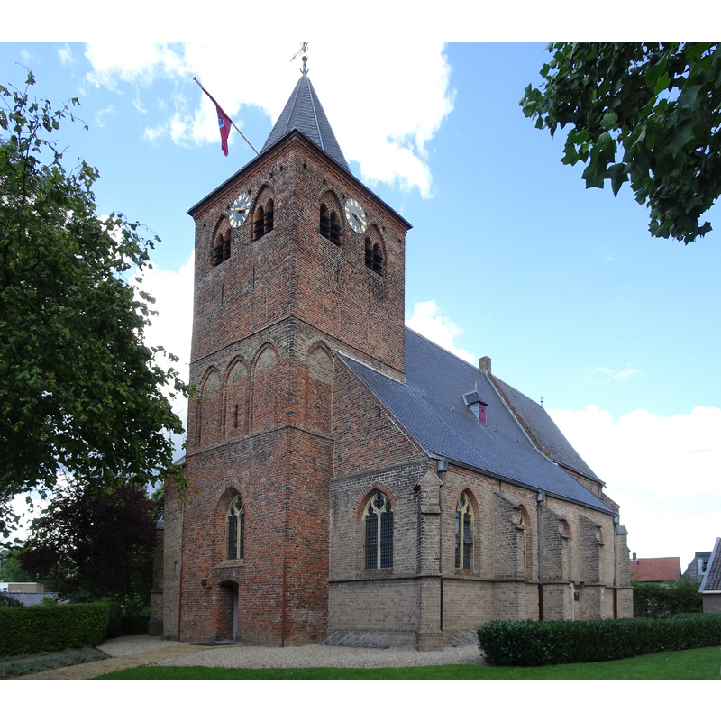
Image copyright © Pieter Delicaat, 2019
CC-BY-SA-4.0
Results: 3 records
view of church exterior - southwest view
Scene Description: Source caption; " Nederlands Hervormde Kerk (Westervoort)"
Copyright Statement: Image copyright © Pieter Delicaat, 2019
Image Source: digital photograph 1 September 2019 by Pieter Delicaat [https://commons.wikimedia.org/wiki/File:Dorpsstraat_61_Westervoort_NH_kerk_PM19-05.jpg] [accessed 7 February 2022]
Copyright Instructions: CC-BY-SA-4.0
view of font in context
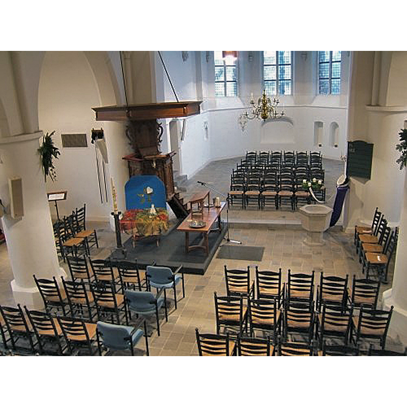
Scene Description: the 1957 font in context
Copyright Statement: Image copyright © [s.n.] [Reliwiki?], 2010
Image Source: digital photograph 8 December 2006, in Reliwiki [https://reliwiki.nl/index.php/Bestand:2010-6.JPG] [accessed 7 February 2022]
Copyright Instructions: CC-BY-SA-4.0
view of font in context
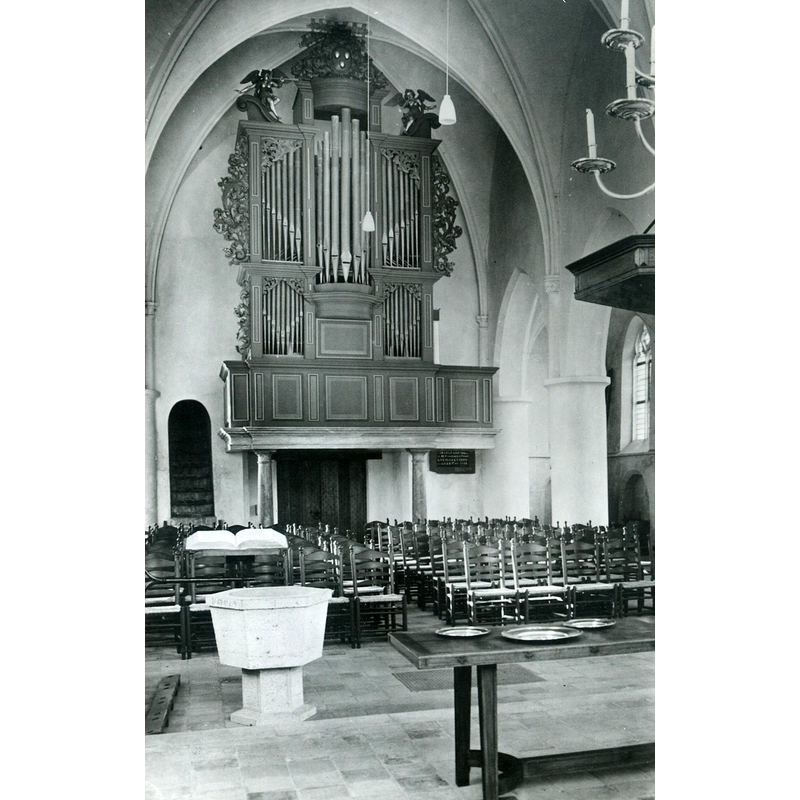
Scene Description: the 1957 font in context
Copyright Statement: Image copyright © Rijk0399, 2020
Image Source: digital image of a B&W photograph in Rijk0399 [https://reliwiki.nl/index.php/Bestand:WestervoortWerenfridusNH1.jpg] [accessed 7 February 2022]
Copyright Instructions: CC-BY-SA-4.0
INFORMATION
Font ID: 23731WES
Object Type: Baptismal Font1, fragment
Church / Chapel Name: Nederlands Hervormde Sint-Werenfriedkerk
Font Location in Church: [cf. FontNotes]
Church Patron Saint(s): St. Werenfridus [aka Warnfried, Werenfrid, Werenfried]
Church Notes: -- listed church [Rijksmonument no. 38844]
Church Address: Dorpstraat 61, 6931BA Westervoort, Netherlands
Site Location: Gelderland, Netherlands, Europe
Directions to Site: Located off (E) the N325, on the S bank of the Ijssel river , 3-4 km SE of Arnhem town centre [NB: the RC church of the same dedication is located E, across the Brugweg
Additional Comments: disappeared font (whereabouts of the fragments reported in 1869 unknown)
Font Notes:
Click to view
A communication from Pol Herman to BSI (e-mail of 2 February 2022) informs that the present font in this church is dated 1957 by an inscription ["Het doopvont met daarop de tekst “Ik heb u bij uw naam geroepen” – 1957"], but a 19th-century source, Kerkgeschiedenis van Nederland voor de Hervorming, door W. Moll, hoogleraar te Amsterdam, Tweede Deel, Derde Stuk (Utrecht: Kemink en Zonen, 1869: 175) reports fragments of an old baptismal font at Westervoort at the time, though there is no trace of those fragments to be found on site now.
Credit and Acknowledgements: We are grateful to Pol Herman for bringing this font to our attention and for his help in documenting it
COORDINATES
UTM: 31U 703789 5761117
Latitude & Longitude (Decimal): 51.963333, 5.966389
Latitude & Longitude (DMS): 51° 57' 48.0" N, 5° 57' 59.0" E
MEDIUM AND MEASUREMENTS
Material: stone
Font Shape: fragment