Cerraton de Juarros / Cerratón de Juarros / Zarratone
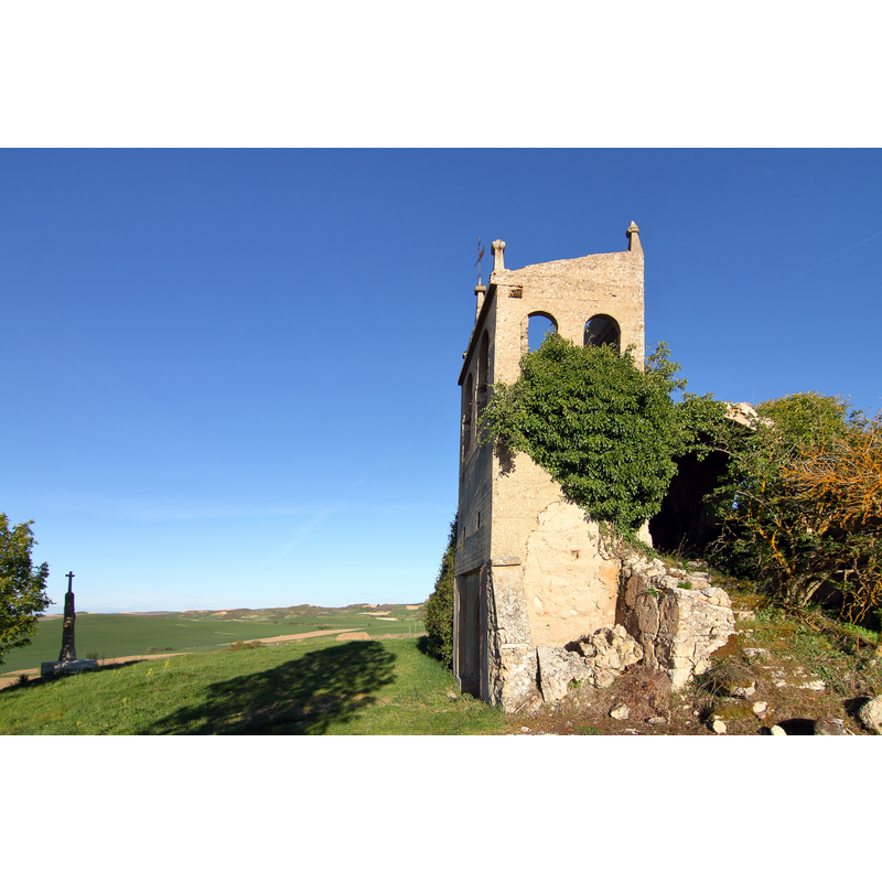
Image copyright © Malopez 21, 2019
CC-BY-SA-4.0
Results: 3 records
view of church exterior in context
Scene Description: Source caption: "Cerratón de Juarros, antigua iglesia"
Copyright Statement: Image copyright © Malopez 21, 2019
Image Source: digital photograph taken 11 May 2019 by Malopez 21 [https://commons.wikimedia.org/wiki/File:Cerratón_de_Juarros,_antigua_iglesia,_01.jpg] [accessed 27 January 2021]
Copyright Instructions: CC-BY-SA-4.0
view of church exterior in context
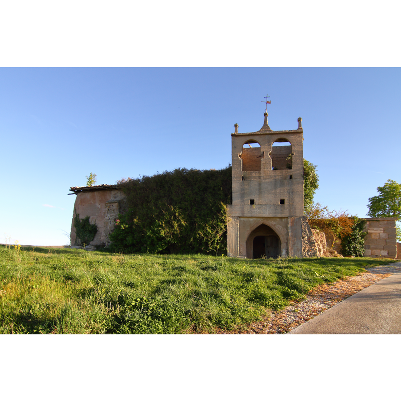
Scene Description: Source caption: "Cerratón de Juarros, antigua iglesia"
Copyright Statement: Image copyright © Malopez 21, 2019
Image Source: digital photograph taken 11 May 2019 by Malopez 21 [https://commons.wikimedia.org/wiki/File:Cerratón_de_Juarros,_antigua_iglesia,_03.jpg] [accessed 27 January 2021]
Copyright Instructions: CC-BY-SA-4.0
view of church interior - detail
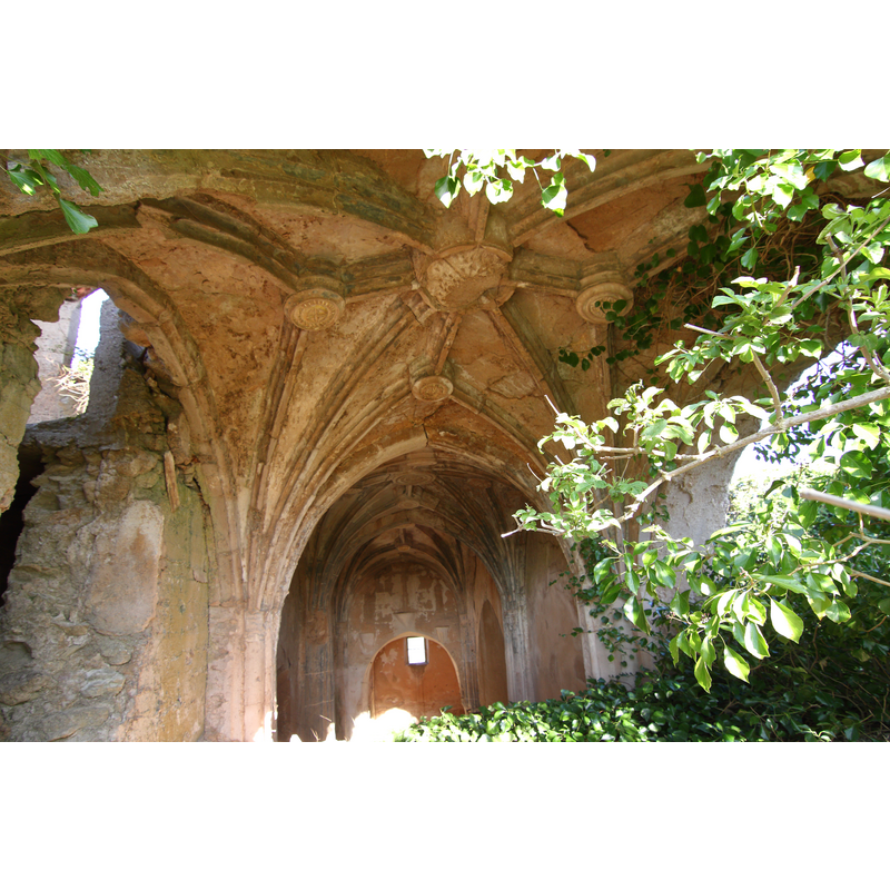
Scene Description: Source caption: "Cerratón de Juarros, antigua iglesia"
Copyright Statement: Image copyright © Malopez 21, 2019
Image Source: digital photograph taken 11 May 2019 by Malopez 21 [https://commons.wikimedia.org/wiki/File:Cerratón_de_Juarros,_antigua_iglesia,_02.jpg] [accessed 27 January 2021]
Copyright Instructions: CC-BY-SA-4.0
INFORMATION
Font ID: 23109CER
Object Type: Baptismal Font1?
Font Century and Period/Style: Medieval
Church / Chapel Name: Iglesia Parroquial de Santa Eulalia [in ruins]
Font Location in Church: [disappeared]
Church Patron Saint(s): St. Eulalia of Mérida
Church Notes: Medieval church
Church Address: Calle Sta. Olalla, 77, 09292 Cerratón de Juarros, Burgos, Spain
Site Location: Burgos, Castilla y León, Spain, Europe
Directions to Site: Located off (S) the BU-701, between the N-1 (N) and the N-120 (S), 19 km from Belorado, about 30 km ENE of Burgos capital
Ecclesiastic Region: Diócesis de Burgos
Historical Region: Comarca de Montes de Oca
Additional Comments: disappeared font?
Font Notes:
Click to view
The entry for this village in Emiliano Nebreda Perdiguero [www.archiburgos.es/wp-content/uploads/amo-a-mi-pueblo.pdf] [accessed 27 January 2021] mentions that the church here is disused [see ImagesArea] but no font is mentioned in it.
COORDINATES
UTM: 30T 469270 4696722
Latitude & Longitude (Decimal): 42.422203, -3.373531
Latitude & Longitude (DMS): 42° 25′ 19.93″ N, 3° 22′ 24.71″ W