Hov nr. Vadstena
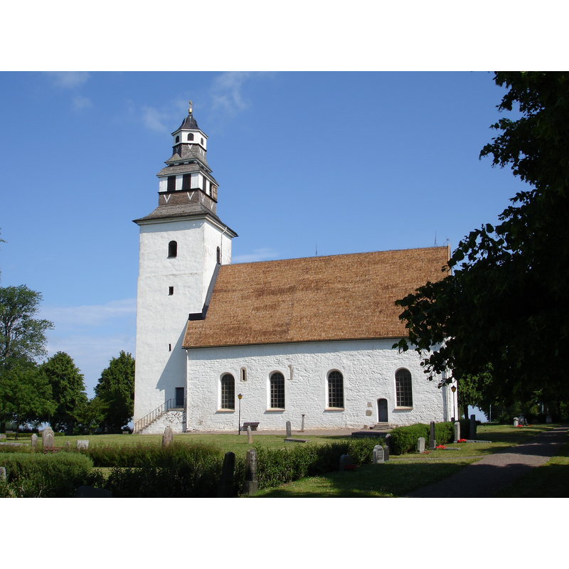
Image copyright © Iin208, 2009
CC-BY-SA-3.0
Results: 2 records
view of church exterior - southeast view
Scene Description: Source caption: "Hovs kyrka i Östergötland sommaren 2009"
Copyright Statement: Image copyright © Iin208, 2009
Image Source: digital photograph taken 1 July 2009 by Iin208 [https://commons.wikimedia.org/wiki/File:Hovs_kyrka,_Östergötland.jpg] [accessed 27 December 2020]
Copyright Instructions: CC-BY-SA-3.0
view of church exterior in context - southwest view
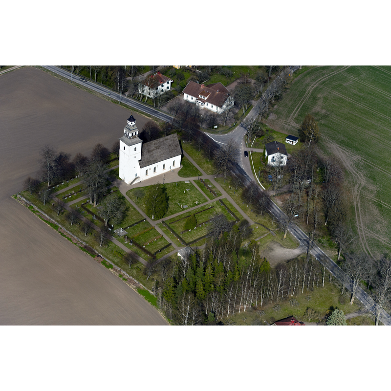
Copyright Statement: Image copyright © L.G.foto, 2011
Image Source: digital photograph taken 21 April 2011 by L.G.foto [https://commons.wikimedia.org/wiki/File:Hovs_kyrka_från_luften.jpg] [accessed 27 December 2020]
Copyright Instructions: CC-BY-SA-4.0
INFORMATION
Font ID: 23062HOV
Object Type: Baptismal Font1?
Font Century and Period/Style: 12th century, Romanesque
Church / Chapel Name: Hovs kyrka
Font Location in Church: [disappeared]
Church Notes: original church 12thC; modified 14thC; restored 1950
Church Address: Hovs kyrkby, S,, Vadstena, Sweden
Site Location: Östergötland, Östergötlands län, Sweden, Europe
Directions to Site: Located off local road E944, in the municipality and 6-7 km S of Vadstena, in the NE banks of lake Tåkern
Ecclesiastic Region: Linköpings stift
Historical Region: Göstrings härad
Additional Comments: disappeared font? (the one from the original 12thC church here)
Font Notes:
Click to view
The entry for this church in Svenska kyrkan [www.svenskakyrkan.se/filer/Hovs kyrka (pdf).pdf] [accessed 27 December 2020] reports a modern font here, made of wood in 1873 by Johan Robert Nyström. [NB: we have no information on the medieval font of this church].
COORDINATES
UTM: 33V 495217 6470880
Latitude & Longitude (Decimal): 58.378736, 14.918211
Latitude & Longitude (DMS): 58° 22′ 43.45″ N, 14° 55′ 5.56″ E