Ettak
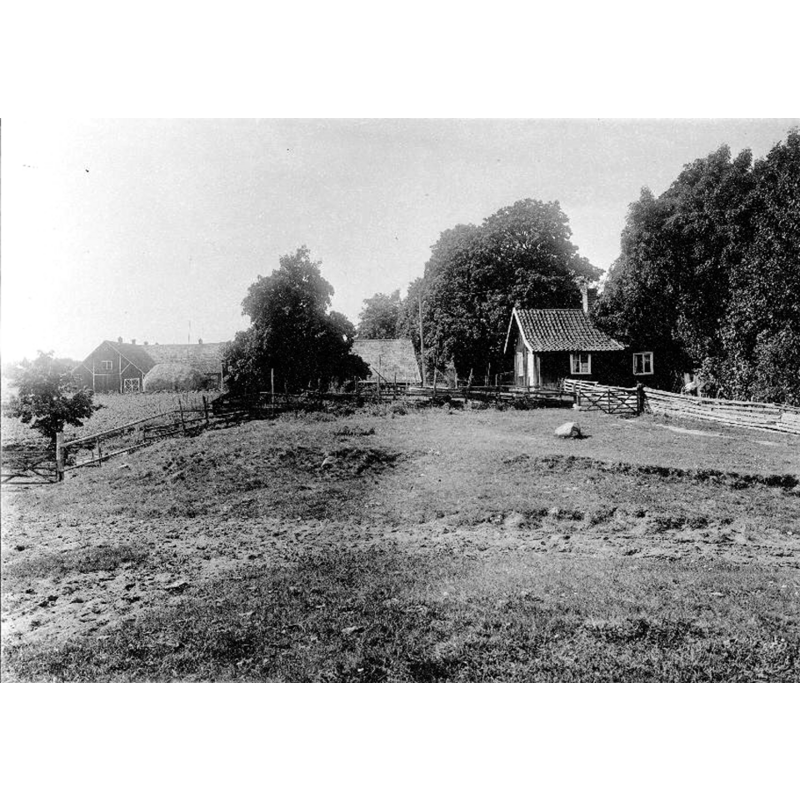
Image copyright © [in the public domain]
PD Sweden
Results: 2 records
view of church exterior in context
Scene Description: Source caption: "Velinga, Ettaks kyrkoruin [...] Kyrkplatsen och dess omgivning mot väster."
Copyright Statement: Image copyright © [in the public domain]
Image Source: digital image [10079-001.tif] of an undated B&W photograph in the Kulturmiljöbild, Riksantikvarieämbetet [https://commons.wikimedia.org/wiki/File:Velinga,_Ettaks_kyrkoruin_-_KMB_-_16000200154119.jpg] [accessed 22 October 2020]
Copyright Instructions: PD Sweden
view of church exterior in context
![Source caption: "Velinga, Ettaks kyrkoruin [...] Kartskiss över kyrkplatsen och dess omgivning."](/static-50478a99ec6f36a15d6234548c59f63da52304e5/compressed/0201022001_compressed.png)
Scene Description: Source caption: "Velinga, Ettaks kyrkoruin [...] Kartskiss över kyrkplatsen och dess omgivning."
Copyright Statement: Image copyright © [in the public domain]
Image Source: digital image [10079-002.tif] of a map sketch in the Kulturmiljöbild, Riksantikvarieämbetet [https://commons.wikimedia.org/wiki/File:Velinga,_Ettaks_kyrkoruin_-_KMB_-_16000200154120.jpg] [accessed 22 October 2020]
Copyright Instructions: PD Sweden
INFORMATION
Font ID: 22969ETT
Object Type: Baptismal Font1?
Font Century and Period/Style: 12th century, Romanesque
Church / Chapel Name: Ettaks kyrka / Kungsgårdskyrkan i Ettak [disappeared]
Font Location in Church: [disappeared]
Church Notes: the 12thC kungsgårdskyrkan in Ettak collapsed/demolished in 1720; some materials said to have been used in the 18thC renovation at Härja kyrka; site excavated 1936-1939 and 1970
Church Address: Ettaks kyrkoruin, 522 92 Tidaholm, Sweden
Site Location: Västergötland, Västra Götalands län, Sweden, Europe
Directions to Site: Ettaks kyrkoruin is located E of highway 26, about 200 yards S of the Tidan river, outside the garden of Ettak's farm, just E of the manor house, about 3 km N of Härja, 6-7 km SSW of Tidaholm
Historical Region: Vartofta härad
Additional Comments: disappeared font? (from the disappeared 12thC church here)
Font Notes:
Click to view
[NB: we have no iformation on the baptismal font of the 12th-century church demolished in 1720]
COORDINATES
UTM: 33V 435997 6441053
Latitude & Longitude (Decimal): 58.10624, 13.91396
Latitude & Longitude (DMS): 58° 6′ 22.46″ N, 13° 54′ 50.26″ E