Utby nr. Göteborg
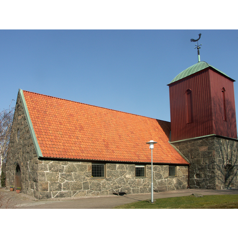
Image copyright © [in the public domain]
PD-self
Results: 3 records
view of church exterior - southwest view
Copyright Statement: Image copyright © [in the public domain]
Image Source: digital photograph taken 31 March 2007 by David Castor [dcastor] [https://commons.wikimedia.org/wiki/File:Utby_kyrka-2.jpg] [accessed 3 October 2020]
Copyright Instructions: PD-self
view of church exterior in context - west view
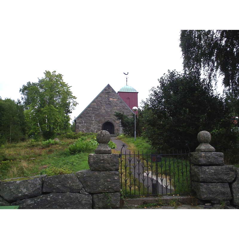
Copyright Statement: Image copyright © [in the public domain]
Image Source: digital photograph taken 8 September 2005 by Harri Blomberg [https://commons.wikimedia.org/wiki/File:Utby_kyrka_i_Göteborg,_den_8_september_2005..JPG] [accessed 3 October 2020]
Copyright Instructions: PD-user
view of church interior - chancel and east end
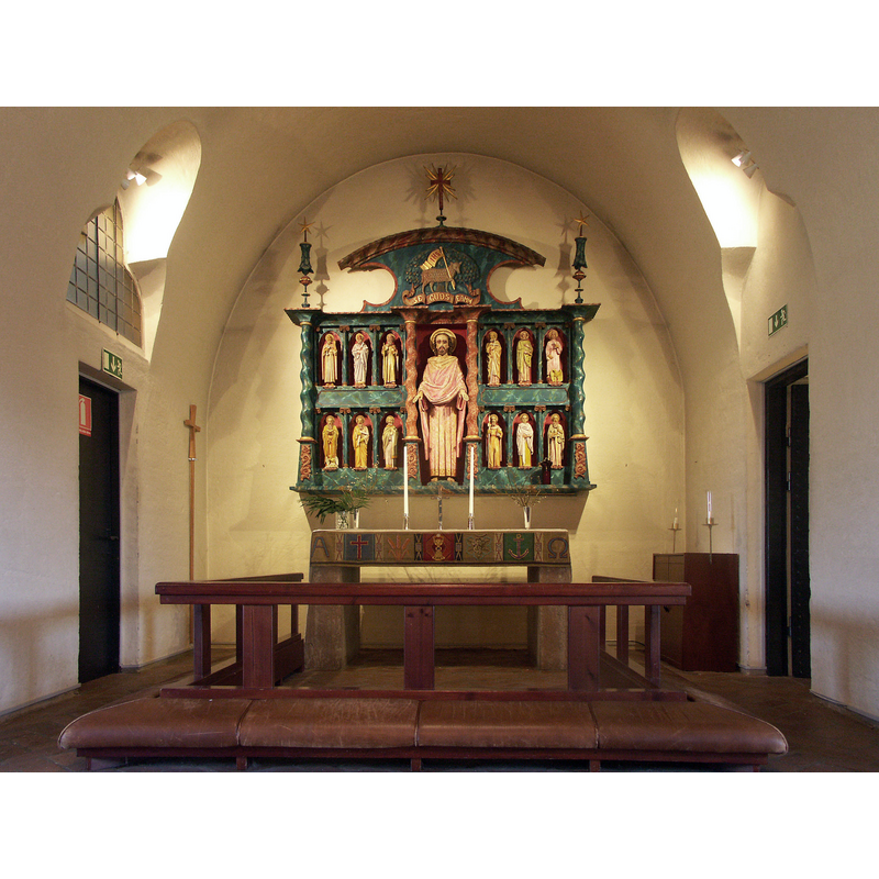
Copyright Statement: Image copyright © [in the public domain]
Image Source: edited detail of a digital photograph taken 31 March 2007 by David Castor [dcastor] [https://commons.wikimedia.org/wiki/File:Utby_kyrka-1.jpg] [accessed 3 October 2020]
Copyright Instructions: PD-self
INFORMATION
Font ID: 22931UTB
Object Type: Baptismal Font1?
Font Century and Period/Style: Medieval
Church / Chapel Name: Utby kyrka
Font Location in Church: [disappeared]
Church Notes: medieval church said to have been destroyed by the Danes in 1566; present church inaugurated 1923
Church Address: Utby kyrkby, Vallareleden 29, 415 06 Göteborg, Sweden -- Tel.: +46 31 731 82 00
Site Location: Bohuslän, Västra Götalands län, Sweden, Europe
Directions to Site: Located off (N) the E20, in the municipality and 7-8 km NE of Göteborg
Ecclesiastic Region: Göteborgs stift
Additional Comments: disappeared? / destroyed? (the one from the medieval church here) [cf. FontNotes]
Font Notes:
Click to view
[NB: we have no information on the font from the medieval church here destroyed in 1566]
COORDINATES
UTM: 33V 324401 6403599
Latitude & Longitude (Decimal): 57.7401, 12.050017
Latitude & Longitude (DMS): 57° 44′ 24.36″ N, 12° 3′ 0.06″ E