Angerville
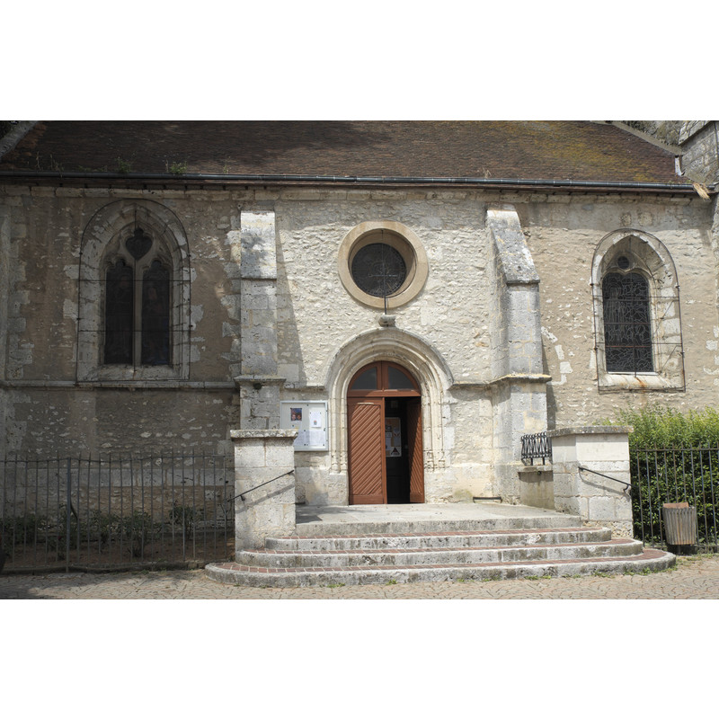
Image copyright © GFreihalter, 2017
CC-BY-SA-3.0
Results: 3 records
view of church exterior - north portal
Scene Description: Source caption: "Katholische Kirche Saint-Pierre-Saint-Eutrope in Angerville im Département Essonne (Île-de-France/Frankreich), Portal"
Copyright Statement: Image copyright © GFreihalter, 2017
Image Source: digital photograph taken 13 July 2017 by GFreihalter [https://commons.wikimedia.org/wiki/File:Angerville_Saint-Pierre-Saint-Eutrope_Portal_847.jpg] [accessed 28 September 2020]
Copyright Instructions: CC-BY-SA-3.0
view of church exterior - northeast view - detail
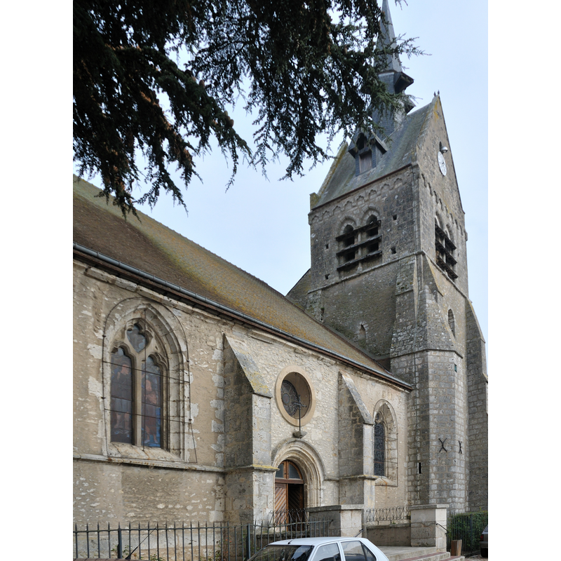
Scene Description: Source caption: "Église Saint-Pierre-et-Saint-Eutrope d'Angerville, Essonne, France"
Copyright Statement: Image copyright © Croquant, 2009
Image Source: edited detail of a digital photograph taken 31 October 2009 by Croquant [https://commons.wikimedia.org/wiki/File:Angerville_église_Saint-Pierre-et-Saint-Eutrope_2.jpg] [accessed 28 September 2020]
Copyright Instructions: CC-BY-SA-3.0
view of church interior - looking east
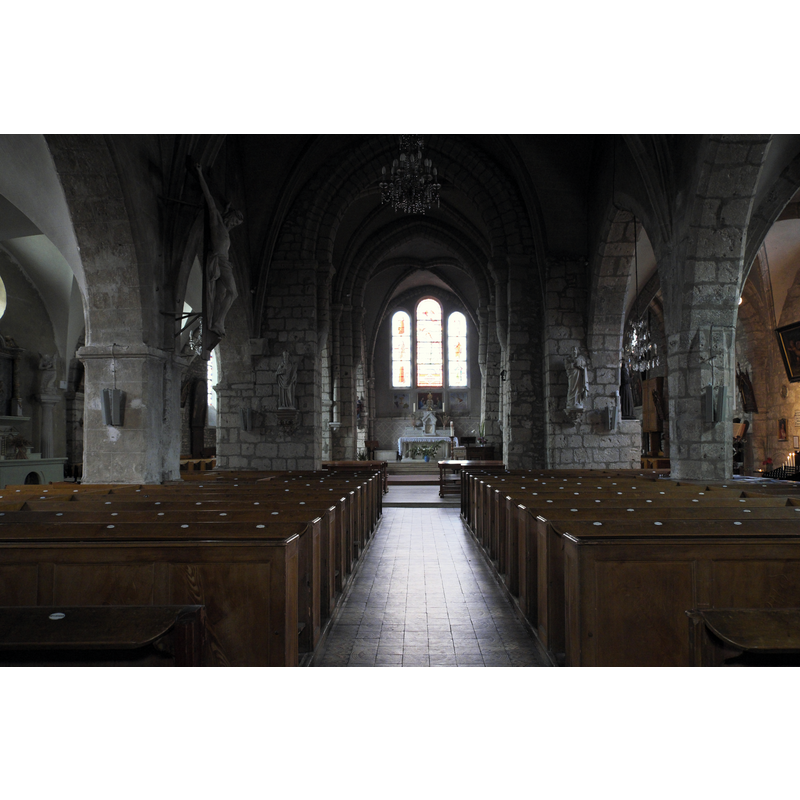
Scene Description: Source caption: "Katholische Kirche Saint-Pierre-Saint-Eutrope in Angerville im Département Essonne (Île-de-France/Frankreich), Innenraum"
Copyright Statement: Image copyright © GFreihalter, 2017
Image Source: digital photograph taken 13 July 2017 by GFreihalter [https://commons.wikimedia.org/wiki/File:Angerville_Saint-Pierre-Saint-Eutrope_33.jpg] [accessed 28 September 2020]
Copyright Instructions: CC-BY-SA-3.0
INFORMATION
Font ID: 22924ANG
Object Type: Baptismal Font1?
Font Century and Period/Style: 12th century, Romanesque
Church / Chapel Name: Église Saint-Pierre-et-Saint-Eutrope d'Angerville
Font Location in Church: [disappeared]
Church Patron Saint(s): St. Peter & St Eutrope Bishop of Saintes
Church Notes: 12thC church; much modified since
Church Address: 2 rue Cassegrain / 53 rue de la Plaine, 91670 Angerville, France
Site Location: Essone, Île-de-France, France, Europe
Directions to Site: Located at the D119-D939 crossroads, just W of the N20, 18 km SW of Étampes, 24 km S of Dourdan, 66 km SW of Paris
Ecclesiastic Region: Diocèse d'Évry-Corbeil-Essonnes
Additional Comments: disappeared font? (the one of the original 12th-century church here)
Font Notes:
Click to view
[NB: we have no information on the baptismal font of the original 12th-century church here]
COORDINATES
UTM: 31U 425146 5352172
Latitude & Longitude (Decimal): 48.3183, 1.9903
Latitude & Longitude (DMS): 48° 19′ 5.88″ N, 1° 59′ 25.08″ E