Marback nr. Aneby / Marbäck
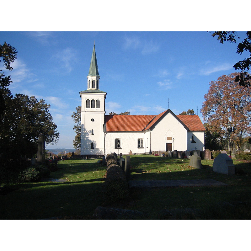
Image copyright © [in the public domain]
CC-Zero
Results: 3 records
view of church exterior - south view
Copyright Statement: Image copyright © [in the public domain]
Image Source: digital photograph taken 13 October 2004 by Bernt Fransson [https://commons.wikimedia.org/wiki/File:Marbäck_01.JPG] [accessed 26 August 2020]
Copyright Instructions: CC-Zero
view of church interior - looking west
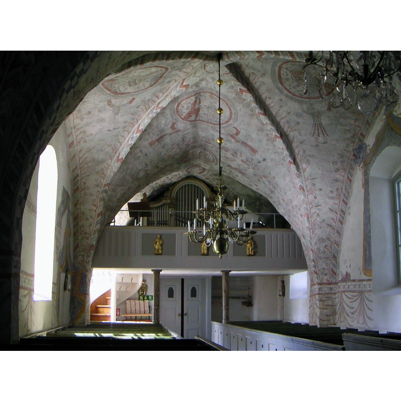
Copyright Statement: Image copyright © [in the public domain]
Image Source: digital photograph taken 13 October 2004 by Bernt Fransson [https://commons.wikimedia.org/wiki/File:Marbäck_04.JPG] [accessed 26 August 2020]
Copyright Instructions: CC-Zero
view of church interior - east end
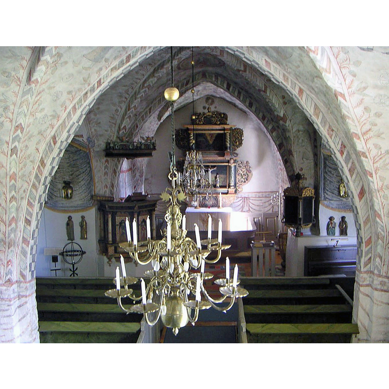
Scene Description: Source caption: "Marbäcks kyrka.Interiör från orgelläktaren."
Copyright Statement: Image copyright © [in the public domain]
Image Source: digital photograph taken 13 October 2004 by Bernt Fransson [https://commons.wikimedia.org/wiki/File:Marbäck_03.JPG] [accessed 26 August 2020]
Copyright Instructions: CC-Zero
INFORMATION
Font ID: 22877MAR
Object Type: Baptismal Font1?
Font Century and Period/Style: 13th century, Late Romanesque
Church / Chapel Name: Marbäck s kyrka
Font Location in Church: [disappeared]
Church Notes: 13thC church; modified 15th, 17th, 19th
Church Address: Marbäck 1, 578 94 Aneby, Sweden -- Tel.: +46 380 412 25
Site Location: Småland, Jönköpings län, Sweden, Europe
Directions to Site: Located off local road F977, W of highway 32. 4 km NE of Aneby and in its municipality, by lake Ralången
Ecclesiastic Region: Linköpings stift
Historical Region: Norra Vedbo härad
Additional Comments: disappeared font? (the one from the medieval church here)
Font Notes:
Click to view
The present font was in 1961 by Georg Trapp of Gränna. [NB: we have no information on the medieval font here]
COORDINATES
UTM: 33V 491495 6413023
Latitude & Longitude (Decimal): 57.859011, 14.856681
Latitude & Longitude (DMS): 57° 51′ 32.44″ N, 14° 51′ 24.05″ E