Mussla
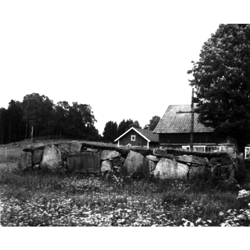
Image copyright © [in the public domain]
CC (pdm)
Results: 1 records
view of church exterior in context - ruins
Scene Description: the remaining ruins of the medieval parish church at Mussla -- it is said to have been abandoned in the 16thC
Copyright Statement: Image copyright © [in the public domain]
Image Source: digital image [2M16-S-0091-39-37] of an undated B&W photograph, in the Falbygdens museum [https://digitaltmuseum.se/021016040910/mussla-odekyrka-sandhems-by-inom-borstigs-nuvarande-forsamling-fanns-fore] [accessed 24 June 2020]
Copyright Instructions: CC (pdm)
INFORMATION
Font ID: 22756MUS
Object Type: Baptismal Font1?
Font Century and Period/Style: Medieval
Church / Chapel Name: Mussla Prästgård Kyrkoruin
Font Location in Church: [disappeared]
Church Notes: four medieval churches are said to have existed in the area, including this one and those at Mussla, Kringlarp and Döve [aka Döfve]; the last three were abandoned in the 16thC; ruins of the Mussla church still visible [www.murberg.se/Sidor/Borstigs Kyrka/Borstigs Kyrka.htm] [accessed 24 June 2020]
Church Address: 521 93 Åsarp, Sweden
Site Location: Västergötland, Västra Götalands län, Sweden, Europe
Directions to Site: The ruins of the abandoned church of Mussla are located off local road O2645, jut E of Sandhem, 3 km NE of Börstig, about 50 km SE of Falköping
Historical Region: Frökinds härad
Additional Comments: disappeared font? (the church ceased in the 16thC
Font Notes:
Click to view
[NB: we have no information on the disappeared medieval church here]
COORDINATES
UTM: 33V 411605 6430970
Latitude & Longitude (Decimal): 58.011503, 13.504
Latitude & Longitude (DMS): 58° 0′ 41.41″ N, 13° 30′ 14.4″ E