Arechavaleta No. 2 / Aretxabaleta / Bedarreta / Beizama
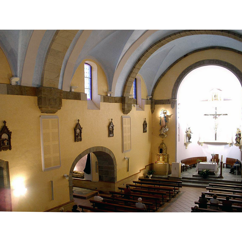
Image copyright © [in the public domain]
CC-Zero
Results: 2 records
view of church interior - looking east
Scene Description: some of the materials of the old church were re-used in the building of the new parish church in the 16th century.
Copyright Statement: Image copyright © [in the public domain]
Image Source: digital photograph taken 24 June 2012 by Zarateman [https://commons.wikimedia.org/wiki/File:Aretxabaleta_-_Iglesia_de_Nuestra_Señora_de_la_Asunción_12.jpg] [accessed 20 June 2020]
Copyright Instructions: CC-Zero
view of church exterior in context - northwest view
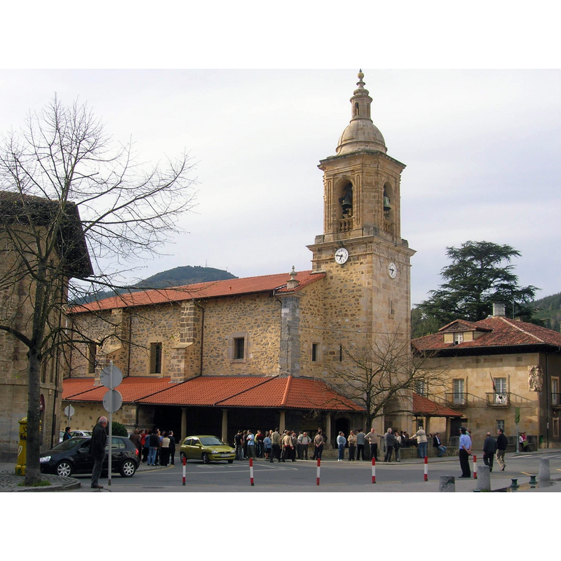
Scene Description: some of the materials of the old church were re-used in the building of the new parish church in the 16th century.
Copyright Statement: Image copyright © Javierme [Javier Mediavilla Ezquibela], 2006
Image Source: digital photograph taken 31 March 2006 by Javierme [Javier Mediavilla Ezquibela] [https://commons.wikimedia.org/wiki/File:Asun_Aretxabaleta.jpg] [accessed 20 June 2020]
Copyright Instructions: GFDL / CC-BY-SA-3.0-migrated / CC-BY-2.5
INFORMATION
Font ID: 22747ARE
Object Type: Baptismal Font1
Font Century and Period/Style: 16th century(late?)
Church / Chapel Name: Iglesia parroquial de Nuestra Señora de la Asunción
Font Location in Church: [cf. FontNotes]
Church Patron Saint(s): The Assumtion of St. Mary
Church Notes: some of the materials of the old church were re-used in the building of the new parish church in the 16th century
Church Address: Herriko Plaza 4, 20550 Arechavaleta / Aretxabaleta, Guipúzcoa / Gipuzkoa, Spain -- Tel.: +34 943 79 18 42
Site Location: Guipúzcoa / Gipuzkoa, País Vasco / Euskadi, Spain, Europe
Directions to Site: Located off the GI-627, E of the AP-1, between Escoriaza (SW) and Arrasate-Mondragon (NE)
Ecclesiastic Region: Diocesis de San Sebastián
Historical Region: Alto Deba / Debagoiena
Font Notes:
Click to view
[NB: we have no information on the font of the 18th-century church here] [cf. BSI entry for Arechavaleta No. 1 for the earlier church here]
COORDINATES
UTM: 30T 540391 4764983
Latitude & Longitude (Decimal): 43.036464, -2.504161
Latitude & Longitude (DMS): 43° 2′ 11.27″ N, 2° 30′ 14.98″ W