Burton in Lonsdale / Black Burton / Boretune
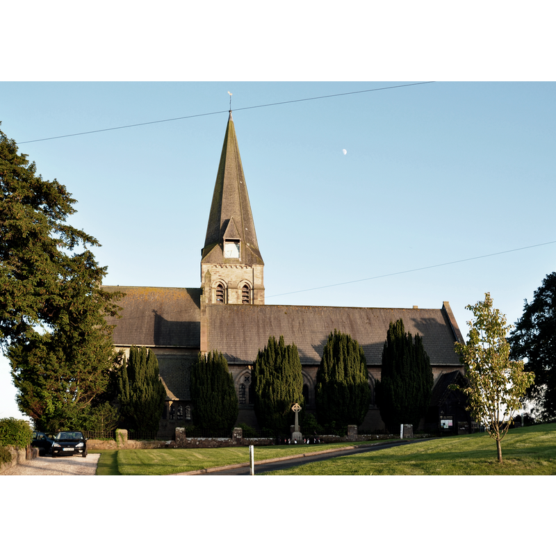
Image copyright © Nilfanion, 2014
CC-BY-SA-4.0
Results: 1 records
view of church exterior - south view
Scene Description: the modern church
Copyright Statement: Image copyright © Nilfanion, 2014
Image Source: digital photograph taken 7 June 2014 by Nilfanion [https://commons.wikimedia.org/wiki/File:All_Saints_Church,_Burton_in_Lonsdale_(5789).jpg] [accessed 7 February 2020]
Copyright Instructions: CC-BY-SA-4.0
INFORMATION
Font ID: 22575BUR
Object Type: Baptismal Font1?
Church / Chapel Name: Parish Church of All Saints
Church Patron Saint(s): All Saints
Church Notes: present church is modern (1860s-1870s)
Church Address: High St, Burton in Lonsdale, Carnforth LA6 3JX, UK -- Tel.: +44 15242 61579
Site Location: North Yorkshire, Yorkshire and the Humber, England, United Kingdom
Directions to Site: Located off (S) the A687, on the N bank of the Greta river, 2-3 km W of Ingleton, 15 km E of Carnforth, 18-20 km NE of Lancaster
Ecclesiastic Region: Diocese of Leeds
Historical Region: Hundred of Amounderness -- formerly Richmondshire
Additional Comments: disappeared font? [cf. FontNotes]
Font Notes:
Click to view
There is a multiple-place entry for Burton [in Lonsdale] [variant spelling] in the Domesday survey [https://opendomesday.org/place/SD6572/burton-in-lonsdale/] [accessed 7 February 2020] but it mentions neither cleric nor church in it. The entry for this township in Whitaker (1823) mentions no church in it. The entry for this church in Historic England [Listing NGR: SD6511272139] makes no mention of an earlier church or font. [NB: not clear whether there had been an earlier church here or not, but the township was important and had a medieval castle in it].
COORDINATES
UTM: 30U 530336 5999632
Latitude & Longitude (Decimal): 54.1439, -2.5356
Latitude & Longitude (DMS): 54° 8′ 38.04″ N, 2° 32′ 8.16″ W