Llangybi nr. Lampeter
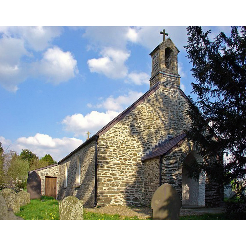
Image copyright © Dylan Moore, 2008
CC-BY-SA-2.0
Results: 3 records
view of church exterior - northwest view
Copyright Statement: Image copyright © Dylan Moore, 2008
Image Source: digital photograph taken 6 May 2008 by Dylan Moore [www.geograph.org.uk/photo/791257] [accessed 13 January 2020]
Copyright Instructions: CC-BY-SA-2.0
view of church exterior - south view
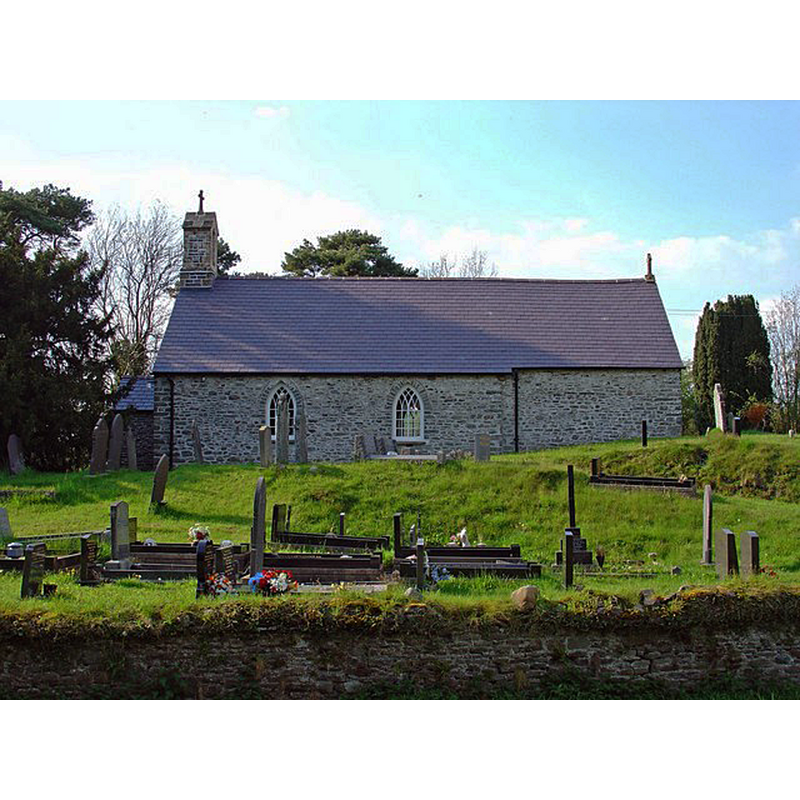
Copyright Statement: Image copyright © Dylan Moore, 2008
Image Source: digital photograph taken 6 May 2008 by Dylan Moore [www.geograph.org.uk/photo/791256] [accessed 13 January 2020]
Copyright Instructions: CC-BY-SA-2.0
view of church interior - looking east
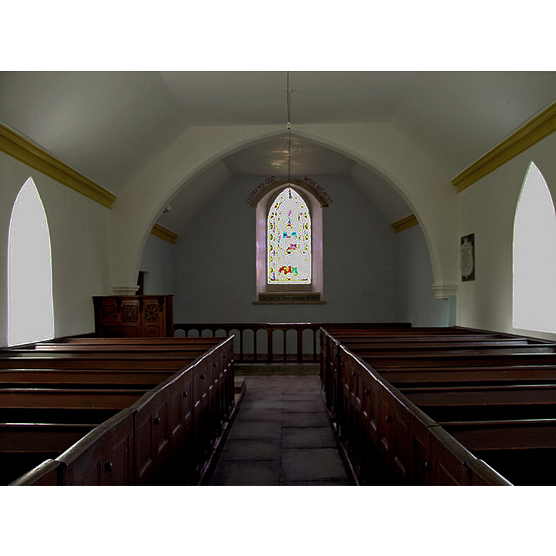
Copyright Statement: Image copyright © Dylan Moore, 2008
Image Source: digital photograph taken 6 May 2008 by Dylan Moore [www.geograph.org.uk/photo/791258] [accessed 13 January 2020]
Copyright Instructions: CC-BY-SA-2.0
INFORMATION
Font ID: 22548LLA
Object Type: Baptismal Font1?
Font Century and Period/Style: 13th - 14th century, Medieval
Church / Chapel Name: Parish Church of St. Cybi
Font Location in Church: [disappeared]
Church Patron Saint(s): St. Cybi [aka Cuby]
Church Address: Llangybi, Lampeter, UK
Site Location: Ceredigion, Wales, United Kingdom
Directions to Site: Located off the A485, 2 km NE of Blews Bledrws, 6 km NE of Lampeter, 10 km SE of Tregaron
Ecclesiastic Region: Diocese of St Davids
Historical Region: formerly Cardiganshire
Additional Comments: disappeared font? (the one fromn the 13th-14thC church here)
Font Notes:
Click to view
The entry for this church in COFLEIN [https://www.coflein.gov.uk/en/site/419061/details/st-cybis-church-llangybi] [accessed 12 January 2020] notes: "The church was a parish church during the medieval period [...] The nave and chancel may date to the thirteenth and fourteenth century. The church was restored in 1850 [...] The church was again restored in the 1880s [...] The square font bowl dates from the late 1880s. It sits on a later-twentieth-century brick stem."
COORDINATES
UTM: 30U 429138 5779252
Latitude & Longitude (Decimal): 52.159211, -4.035911
Latitude & Longitude (DMS): 52° 9′ 33.16″ N, 4° 2′ 9.28″ W