Lampeter nr. Aberaeron / Llambed / Llanbedr Pont Steffan / Llanbedr Pont Stephan
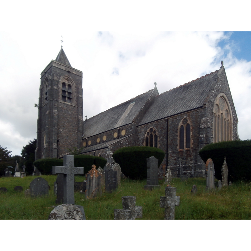
Image copyright © John Lord, 2016
CC-BY-SA-2.0
Results: 1 records
view of church exterior - southeast view
Copyright Statement: Image copyright © John Lord, 2016
Image Source: edited detail of a digital photograph taken 8 August 2016 by John Lord [www.geograph.org.uk/photo/5075525] [accessed 5 January 2020]
Copyright Instructions: CC-BY-SA-2.0
INFORMATION
Font ID: 22540LAM
Object Type: Baptismal Font1
Church / Chapel Name: Parish Church of St. Peter / Eglwys San Pedr
Font Location in Church: [moved to Maestir]
Church Patron Saint(s): St. Peter
Church Address: Lampeter, Ceredigion, UK
Site Location: Ceredigion, Wales, United Kingdom
Directions to Site: Located off the A475-A482-A485 confluence, SE of Aberaeron, ENE of Cardgan
Ecclesiastic Region: Diocese of St. Davids
Historical Region: formerly Cardiganshire
Additional Comments: moved font (the old font moved to Maestir)
Font Notes:
Click to view
The entry for this parish in Meyrick (1808) notes: "Near the altar is a circular arched niche, intended to contain holy water. The font is a square stone, with a circular excavation for the purpose of immersion, and the angles of the stone are ornamented with grotesque figures; one representing a demi-angel, with a scaly body; another some kind of winged beast passant; a third, a demi-griffin rampant; and the fourth, a winged animal rampant. This stone is supported by a circular pillar, encircled by a kind of wreath, and standing on a portion of a cone cut parallel to its base, placed on four steps." The entry for the church here in COFLEIN [www.coflein.gov.uk/en/site/270/details/st-peters-church-lampeter] [accessed 5 January 2020] notes: "St Peter's Church is situated in an extensive churchyard - used as a cemetary [sic] - on a raised site at the top of Church Street, a landmark in the local landscape. It was built between 1867 and 1870, replacing a building of 1821-2 and an even earlier church, apparently of largely medieval fabric which was first mentioned in 1291. [...] Furnishings include original carved circular stone font"; the entry does not mention the old font from the medieval church [cf. BSI entry for Maestir for that old font].
COORDINATES
UTM: 30U 425879 5774453
Latitude & Longitude (Decimal): 52.11564, -4.0825
Latitude & Longitude (DMS): 52° 6′ 56.3″ N, 4° 4′ 57″ W
REFERENCES
- Meyrick, Samuel Rush, The History and Antiquities of the County of Cardigan [...], London: Longman, Hurst, Rees, and Orme, 1808, p.202