Acklam in Rydale / Aclun / East Acklam
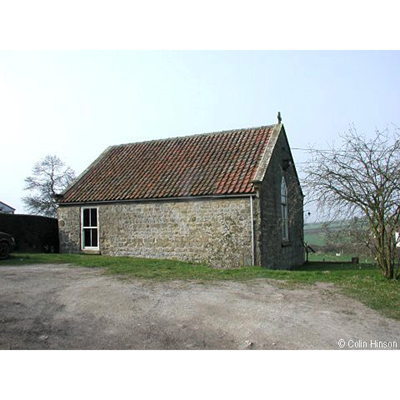
Image copyright © Colin Hinson, 2019
Standing permission
Results: 1 records
view of church exterior - northwest view
Scene Description: modern re-building [cf. FontNotes]
Copyright Statement: Image copyright © Colin Hinson, 2019
Image Source: digital photograph taken by Colin Hinson [www.genuki.org.uk/big/eng/YKS/ERY/Acklam/PhotoFrames/AcklamStJohn_1] [accessed 17 December 2019]
Copyright Instructions: Standing permission
INFORMATION
Font ID: 22483ACL
Object Type: Baptismal Font1?
Font Century and Period/Style: 11th century, Pre-Conquest? / Norman
Church / Chapel Name: Parish Church of St. John the Baptist [demolished 1970s]
Font Location in Church: [disappeared]
Church Patron Saint(s): St. John the Baptist
Church Address: [NB: address and coordinates are for the new church at Acklam] Acklam, Malton YO17 9RG, UK
Site Location: North Yorkshire, Yorkshire and the Humber, England, United Kingdom
Directions to Site: Located N of the A166, just S of Leavening, 10 km S of Malton, 20 km NE of York city centre, in Rydale
Ecclesiastic Region: Diocese of York
Historical Region: Hundred of Acklam -- formerly ERYrks
Additional Comments: disappeared font? (the one from the Domesday-time church here)
Font Notes:
Click to view
There are two entries for this Acklam [variant spelling] in the Domesday survey [https://opendomesday.org/place/SE7861/acklam/] [accessed 17 December 2019] one of which reports a church in it. Sheahan & Whellan (1857) note that the church of St. John the Baptist in Acklam was ''partly rebuilt in 1790'' but has ''an ancient font''. Pevsner & Neave (1995), however, state that this church was built ''in 1794 as a Wesleyan Methodist Chapel'' and that it superseded an Anglican church of 1868 demolished in 1972, without a mention of any earlier church. The Parish of West Buckrose [www.westbuckrose.org/churches/acklam] [accessed 17 December 2019] informs: "the [present] church was built in 1794 as a Wesleyan Methodist Chapel, and superseded the old Anglican church which was demolished in the 1970s". [NB: we have no information on the font of the Domesday-time church here].
Credit and Acknowledgements: We are grateful to Colin Hinson, of www.yorkshireCDbooks.com, for the added photographs of the modern church here
COORDINATES
Latitude & Longitude (Decimal): 54.044905, -0.806776
Latitude & Longitude (DMS): 54° 2' 41.7" N, 0° 48' 24.4" W
REFERENCES
- Pevsner, Nikolaus, Yorkshire: York and the East Riding, London: Penguin, 1995, p. [263]
- Sheahan, James Joseph, History and topography of the city of York; the East Riding of Yorkshire and a portion of the West Riding […], Beverley: printed for the publishers by John Green, Market Place, 1857, p. 637