Huttons Ambo / Colsueynhoton / High Hutton / Hoton Bardolf / Hoton Coleswayn / Hoton Mainevilain / Hoton Muirthon / Hoton Mynchon / / Hotun / Hutton-upon-the-Hil / Low Hutton / Nethirhoton / Upper Hutton
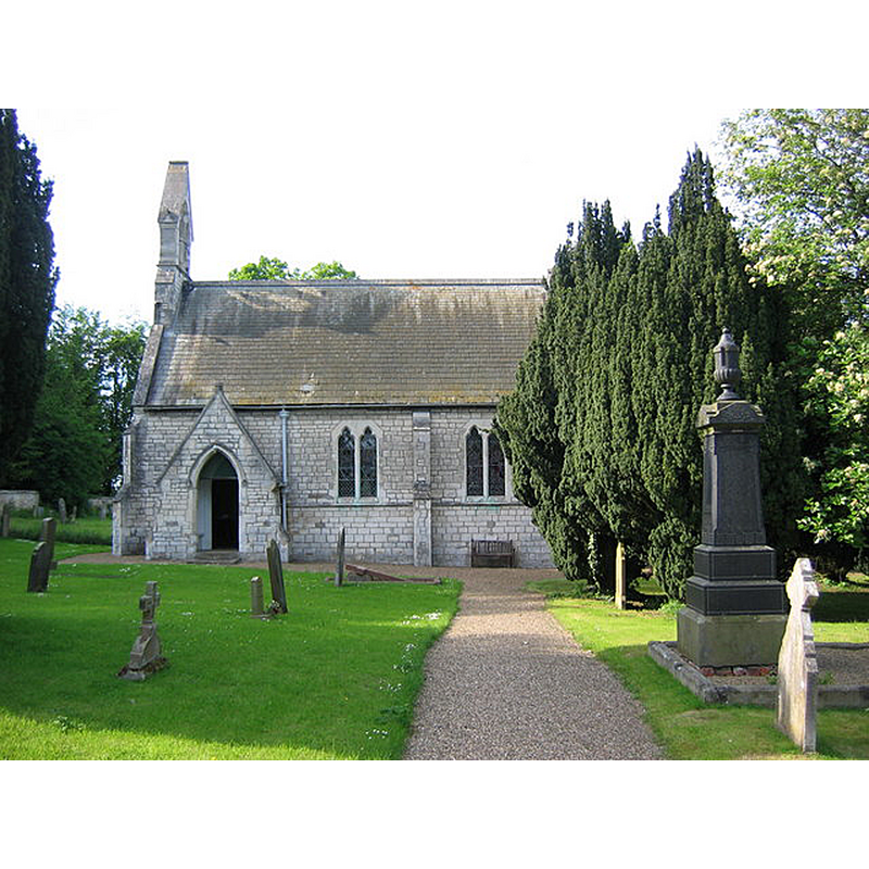
Image copyright © Stephen Horncastle, 2006
CC-BY-SA-2.0
Results: 1 records
view of church exterior - south view
Scene Description: The mid-19thC church that replaced an earlier one
Copyright Statement: Image copyright © Stephen Horncastle, 2006
Image Source: digital photograph taken 3 June 2006 by Stephen Horncastle [www.geograph.org.uk/photo/181379] [accessed 11 December 2019]
Copyright Instructions: CC-BY-SA-2.0
INFORMATION
Font ID: 22470HUT
Object Type: Baptismal Font1?
Font Date: ca. 1200?
Font Century and Period/Style: 12th - 13th century, Transitional
Church / Chapel Name: Parish Church of St. Margaret
Font Location in Church: [disappeared]
Church Patron Saint(s): St. Margaret of Scotland
Church Notes: mid-18thC church on the site of an earlier one
Church Address: Drive Cottages, Huttons Ambo, York YO60 7HW, UK
Site Location: North Yorkshire, Yorkshire and the Humber, England, United Kingdom
Directions to Site: Locate off (S) the A64, 5 km SW of Malton, 23 km NE of York
Ecclesiastic Region: Diocese of York
Historical Region: Hunbdred of Bulford
Additional Comments: disappeared font? (the one from the ca. 1200 church here)
Font Notes:
Click to view
The entry for this parish in the Victoria County History (York North Riding, vol. 2, 1923) notes: "The church of St. Margaret, situated in High Hutton (Hutton Bardolt), was in 1202 in the gift of Ralph Bardolf, who granted it to Kirkham Priory on condition that it should be served thenceforward by a resident chaplain appointed by the prior, [...] and performing all divine offices befitting a mother church [...] The old building was pulled down in 1856 and the present church erected"; no font mentioned. The entry for this church in Historic England [Listing NGR: SE7534868498] notes: "Church. 1856. By Gould, restored 1956"; it mentions no font in it.
COORDINATES
UTM: 30U 640639 5997527
Latitude & Longitude (Decimal): 54.10665, -0.8488
Latitude & Longitude (DMS): 54° 6′ 23.94″ N, 0° 50′ 55.68″ W