Birkby / Bretby / Bretebi / Brettebi
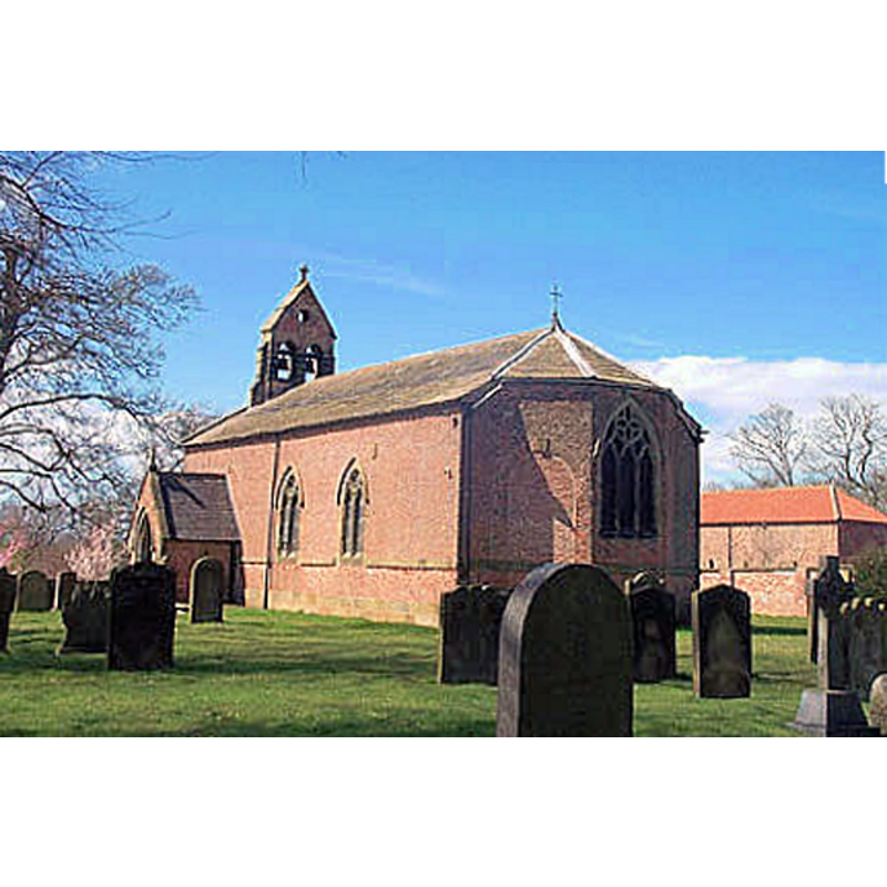
Image copyright © Bill Henderson, 2006
CC-BY-SA-2.0
Results: 1 records
view of church exterior - southeast view
Scene Description: Historic England [Listing NGR: NZ3315402384] notes: "Church. 1776 with alterations in 1872"
Copyright Statement: Image copyright © Bill Henderson, 2006
Image Source: digital photograph taken 31 August 2006 by Bill Henderson [www.geograph.org.uk/photo/229589] [accessed 27 November 2019]
Copyright Instructions: CC-BY-SA-2.0
INFORMATION
Font ID: 22450BIR
Object Type: Baptismal Font1?
Object Details: capital
Font Date: ca. 1160? [basin only]
Font Century and Period/Style: 12th century (mid?) [basin only] [composite font], Medieval [composite]
Church / Chapel Name: Parish Church of St. Peter
Font Location in Church: [cf. FontNotes]
Church Patron Saint(s): St. Peter
Church Address: Birkby Ln, Birkby, Northallerton DL7 0EG, UK -- Tel.: +44 113 200 0540
Site Location: North Yorkshire, Yorkshire and the Humber, England, United Kingdom
Directions to Site: Located W of the A167, on the E bank ot the Wiske river, NNW of Northallerton
Ecclesiastic Region: Diocese of Leeds
Historical Region: Hundred of Allerton
Additional Comments: re-cycled font? / disused font? / buried font? (composite of a former capital and pedestal base re-used as font? [cf. FontNotes]) -- disappeared font? (the one from the 11th-12thC church here)
Font Notes:
Click to view
There is a multiple-place entry for Birkby [variant spelling] in the Domesday survey [https://opendomesday.org/place/NZ3302/birkby/] [accessed 27 November 2019] but it mentions neither cleric nor church in it. The entry for this parish in the Victoria County History (York North Riding, vol. 1, 1914) notes: "The church of St. Peter is first mentioned in 1291 [...] The church of ST. PETER [...] was built in 1776 on the site of a church which was probably of the 12th century. [...] Two very interesting stones have survived the general destruction or loss of the old work. One, which measures 14 in. by 8 in., is evidently a piece of a cross shaft of 11th-century date and is carved with an interlacing pattern; it is now set in the west wall. The other, which was found under the floor, is a carved capital of about 1160; it fitted a 13-in. column, and its presence implies that there was an arcade in the former church. Its top is hollowed out and pierced with a drain, showing that it was afterwards used as a font. [...] The present font is a modern one; the 18thcentury baluster font formerly in use now stands in the churchyard." The entry for this church in Historic England [Listing NGR: NZ3315402384] notes: "Church. 1776 with alterations in 1872"; it mentions no font in it.
COORDINATES
UTM: 30U 597955 6030839
Latitude & Longitude (Decimal): 54.41584, -1.4905
Latitude & Longitude (DMS): 54° 24′ 57.02″ N, 1° 29′ 25.8″ W
MEDIUM AND MEASUREMENTS
Drainage System: yes
REFERENCES
- Victoria County History [online], University of London, 1993-. URL: https://www.british-history.ac.uk.