Axmouth / Alsemude [Domesday] / Axemouth
![Main image for Axmouth / Alsemude [Domesday] / Axemouth](/static-50478a99ec6f36a15d6234548c59f63da52304e5/compressed/1191118007_compressed.png)
Image copyright © Colin Smith, 2019
Image and permission received from the author (e-mail of 18 November 2019)
Results: 6 records
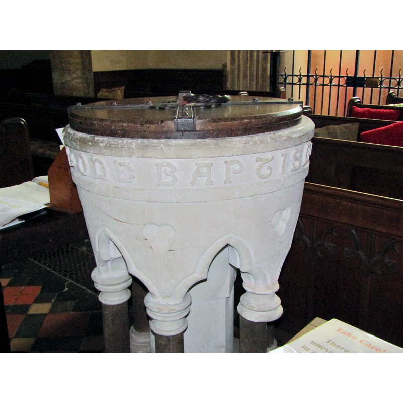
view of font and cover
Scene Description: the modern font
Copyright Statement: Image copyright © Colin Smith, 2019
Image Source: digital photograph taken 21 June 2019 by Colin Smith
Copyright Instructions: Image and permission received from the author (e-mail of 18 November 2019)
view of basin and cover
Scene Description: the modern font
Copyright Statement: Image copyright © Colin Smith, 2019
Image Source: digital photograph taken 21 June 2019 by Colin Smith
Copyright Instructions: Image and permission received from the author (e-mail of 18 November 2019)
view of basin and cover
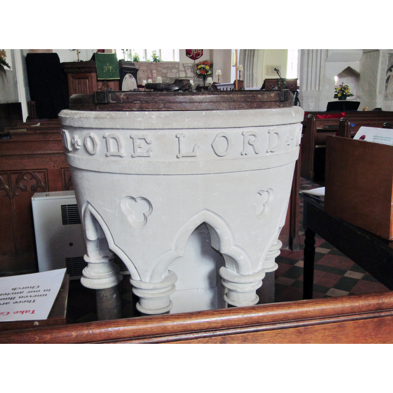
Scene Description: the modern font
Copyright Statement: Image copyright © Colin Smith, 2019
Image Source: digital photograph taken 21 June 2019 by Colin Smith
Copyright Instructions: Image and permission received from the author (e-mail of 18 November 2019)
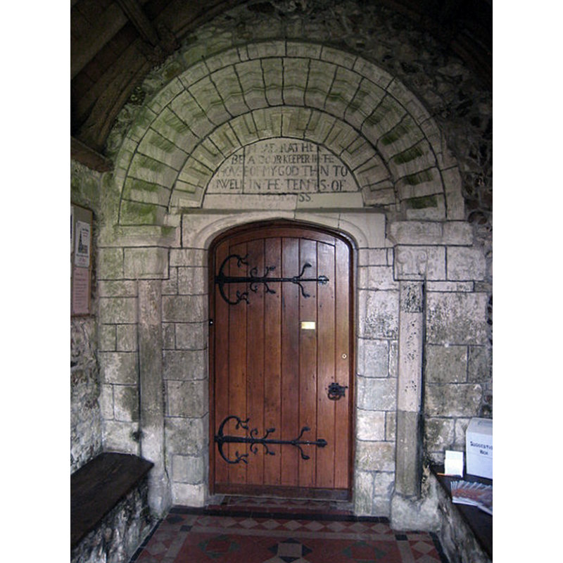
view of church exterior - south portal
Copyright Statement: Image copyright © Rod Allday, 2012
Image Source: digital photograph taken 21 February 2012 by Rod Allday [www.geograph.org.uk/photo/2828355] [accessed 18 November 2019]
Copyright Instructions: CC-BY-SA-2.0
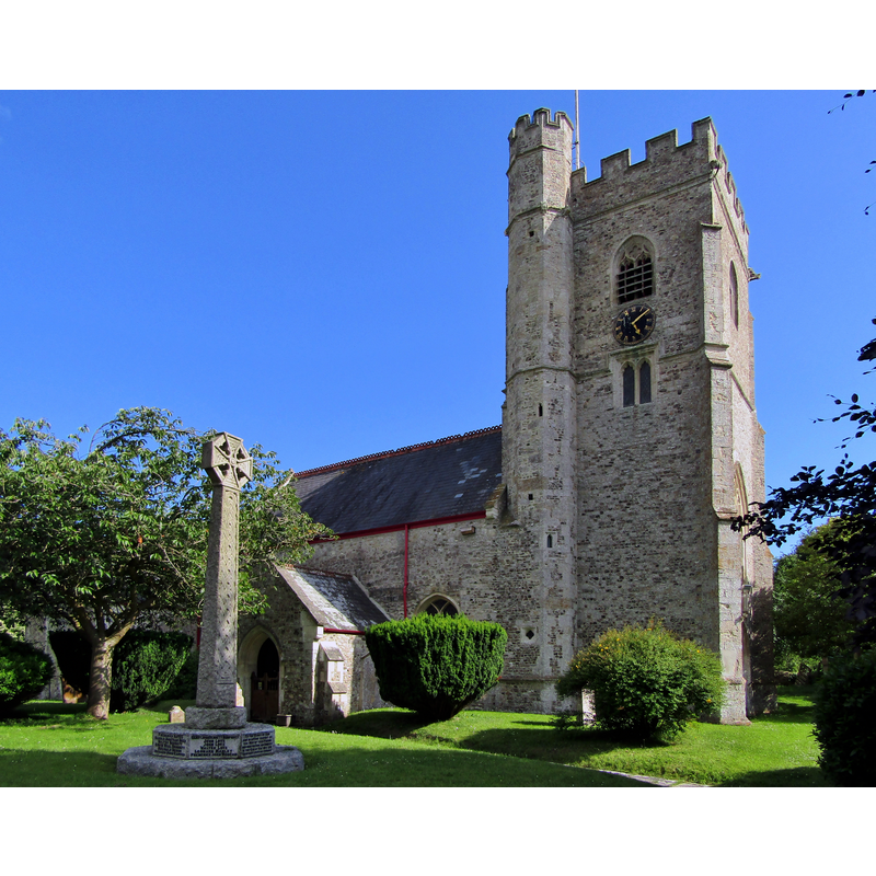
view of church exterior - northwest view
Copyright Statement: Image copyright © Colin Smith, 2019
Image Source: digital photograph taken 21 June 2019 by Colin Smith
Copyright Instructions: Image and permission received from the author (e-mail of 18 November 2019)
view of church interior - looking east
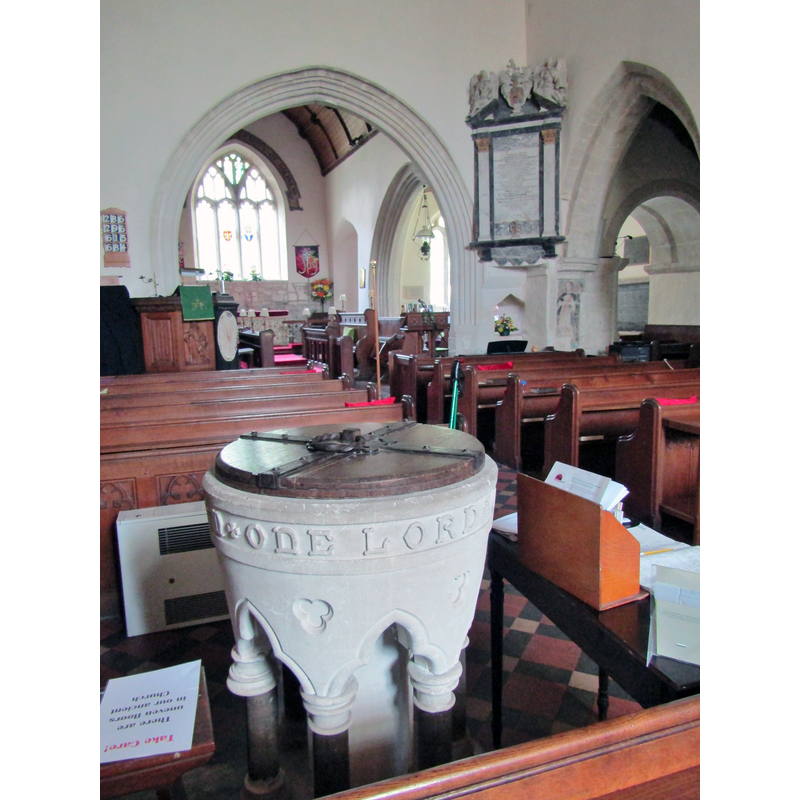
Scene Description: with the modern font in the foreground
Copyright Statement: Image copyright © Colin Smith, 2019
Image Source: digital photograph taken 21 June 2019 by Colin Smith
Copyright Instructions: Image and permission received from the author (e-mail of 18 November 2019)
INFORMATION
Font ID: 22448AXM
Object Type: Baptismal Font1?
Font Century and Period/Style: 12th century, Norman
Church / Chapel Name: Parish Church of St. Michael
Font Location in Church: [disappeared]
Church Patron Saint(s): St. Michael
Church Address: Church St, Axmouth, Seaton EX12 4AG, UK -- Tel.: +44 1297 444499
Site Location: Devon, South West, England, United Kingdom
Directions to Site: Located off the B3172, across the Axe estuary from Seaton, near the mouth of the river, hence its name
Ecclesiastic Region: Diocese of Exeter
Historical Region: Hundred of Axmouth
Additional Comments: disappeared font? (the one from the Norman church here)
Font Notes:
Click to view
There is an entry for Axmouth [variant spelling] in the Domesday survey [https://opendomesday.org/place/SY2591/axmouth/] [accessed 18 November 2019] but it mentions neither cleric nor church in it. The entry for this church in Historic England [Listing NGR: SY2563891036] notes: "Parish church. C12, C13, C14 and C15 restored 1889 [...] C12 nave and chancel. [...] Late C19 furnishings." The present font in this church is modern [NB: we have no information on the font of the Norman church here].
Credit and Acknowledgements: We are grateful to Colin Smith for his photographs of this church and modern font
COORDINATES
UTM: 30U 496166 5618072
Latitude & Longitude (Decimal): 50.71444, -3.0543
Latitude & Longitude (DMS): 50° 42′ 51.98″ N, 3° 3′ 15.48″ W