Melsonby / Malsenebi / Melhamby / Melsanby / Melsandeby / Melshamby / Melsonby / Melsonebi / Melstanby
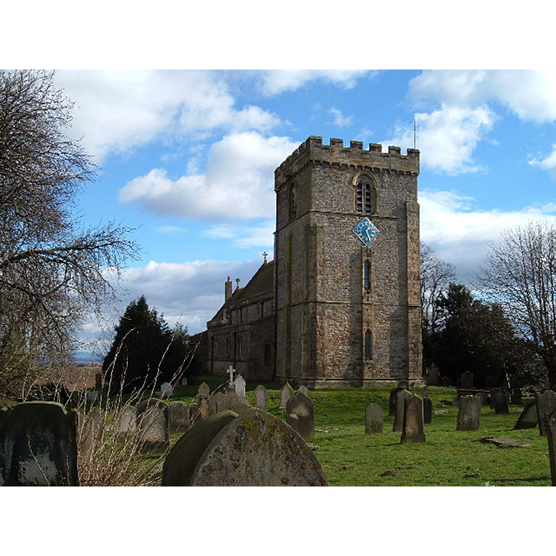
Image copyright © Alison Stamp, 2005
CC-BY-SA-2.0
Results: 2 records
view of church exterior - southwest view
Copyright Statement: Image copyright © Alison Stamp, 2005
Image Source: digital photograph taken 12 March 2005 by Alison Stamp [www.geograph.org.uk/photo/7272] [accessed 12 November 2019]
Copyright Instructions: CC-BY-SA-2.0
view of church exterior in context
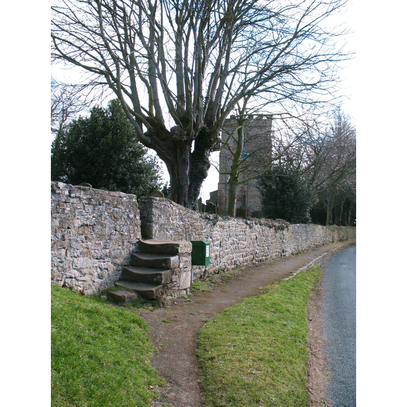
Scene Description: Source caption: "Worn steps into the churchyard on Church Row, Melsonby. Church of St James in the background"
Copyright Statement: Image copyright © Gordon Hatton, 2010
Image Source: digital photograph taken 14 March 2010 by Gordon Hatton [www.geograph.org.uk/photo/1752874] [accessed 12 November 2019]
Copyright Instructions: CC-BY-SA-2.0
INFORMATION
Font ID: 22441MEL
Object Type: Baptismal Font1?
Font Century and Period/Style: 11th century, Pre-Conquest? / Norman
Church / Chapel Name: Parish Church of St. James the Great
Font Location in Church: [disappeared]
Church Patron Saint(s): St. James the Greater [aka James the Great, James the Elder]
Church Address: Church Row, Melsonby, Richmond DL10 5LX, UK
Site Location: North Yorkshire, Yorkshire and the Humber, England, United Kingdom
Directions to Site: Located off (N) the A66, W of the A1(M), 2-3 km NNW of Scotch Corner
Ecclesiastic Region: Diocese of Leeds
Historical Region: Hundred of Land of Count Alan
Additional Comments: disappeared font? (the one from the Domesday-time church here)
Font Notes:
Click to view
There is a multiple-place [2] entry for Melsonby [variant spelling] in the Domesday survey [https://opendomesday.org/place/NZ1908/melsonby/] [accessed 12 November 2019]; it reports a priest and a church in it. The entry for this parish in the Victoria County History (York North Riding, vol. 1, 1914) notes: "There were a church and priest at Melsonby in 1086 [...] The south door, the circular columns and responds of the south arcade and one circular column of the north arcade date from the end of the 12th century. [...] The appearance of the exterior of the church was greatly improved in 1850 by a restoration"; no font mentioned in the VCH entry. The entry for this church in Historic England [Listing NGR: NZ2011408444] notes; "Church. C12 and C13, restored 1870-72"; no font mentioned in it. [NB: we have no information from the font of the medieval church here].
COORDINATES
UTM: 30U 584824 6036716
Latitude & Longitude (Decimal): 54.471, -1.6911
Latitude & Longitude (DMS): 54° 28′ 15.6″ N, 1° 41′ 27.96″ W
REFERENCES
- Victoria County History [online], University of London, 1993-. URL: https://www.british-history.ac.uk.