Withernwick / Widforneuuic / Widforneuuinc / Withforneuuinc
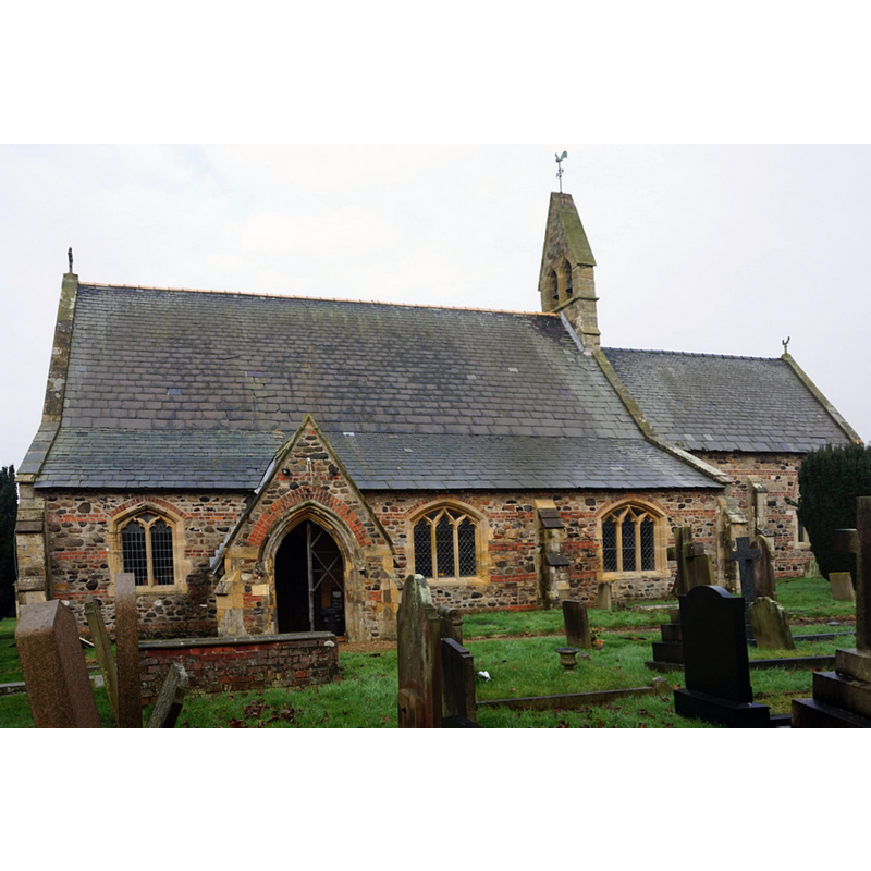
Image copyright © Ian S, 2017
CC-BY-SA-2.0
Results: 2 records
view of church exterior - south view
Copyright Statement: Image copyright © Ian S, 2017
Image Source: digital photograph taken 15 January 2017 by Ian S [www.geograph.org.uk/photo/5260812] [accessed 8 November 2019]
Copyright Instructions: CC-BY-SA-2.0
view of church interior - looking east
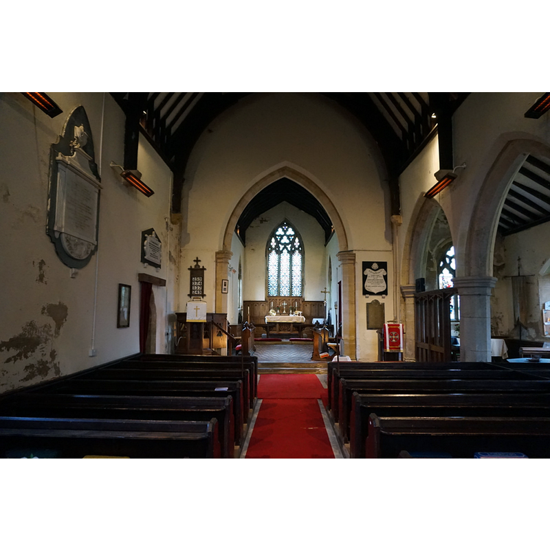
Copyright Statement: Image copyright © Ian S, 2017
Image Source: digital photograph taken 15 January 2017 by Ian S [www.geograph.org.uk/photo/5260840] [accessed 8 November 2019]
Copyright Instructions: CC-BY-SA-2.0
INFORMATION
Font ID: 22435WIT
Object Type: Baptismal Font1?
Font Date: ca. 1115?
Font Century and Period/Style: 12th century (early?), Norman
Church / Chapel Name: Parish Church of St. Alban
Font Location in Church: [disappeared]
Church Patron Saint(s): St. Alban [aka Albanus]
Church Address: 4 St Alban's Cl, Withernwick, Hull HU11 4TJ, UK -- Tel.: +44 1964 527230
Site Location: East Riding of Yorkshire, Yorkshire and the Humber, England, United Kingdom
Directions to Site: Located off (S) the Beverley Rd / Aldbrough Rd, 4-5 km from the coast, 15 km NE of Hull
Ecclesiastic Region: Diocese of York
Historical Region: Hundred of Holderness [Middle Hundred]
Additional Comments: disappeared font? (the one from the ca. 1115 church here)
Font Notes:
Click to view
There are three entries -one of them multi-place- for Withernwick [variant spellings] in the Domesday survey [https://opendomesday.org/place/TA1940/withernwick/] [accessed 8 November 2019] none of which mentions cleric or church in it. The entry for this parish in the Victoria County History (York East Riding, vol. 7, 2002) notes: "There was a church at Withernwick by 1115 [...] largely rebuilt c. 1854. [...] Reset 12th-century chevron voussoirs in the nave may have come from the north doorway of the earlier church"; no font mentioned. The entry for this church in Historic England [Listing NGR: TA1935140472] notes: "Church. 1855 incorporating fragments of medieval decorative material. [...] C19 octagonal font on shaft."
COORDINATES
UTM: 30U 685024 5970166
Latitude & Longitude (Decimal): 53.84699, -0.1873
Latitude & Longitude (DMS): 53° 50′ 49″ N, 0° 11′ 14″ W
REFERENCES
- Victoria County History [online], University of London, 1993-. URL: https://www.british-history.ac.uk.