Thornton nr. York / Thornton in Spalding Moor / Tortetun
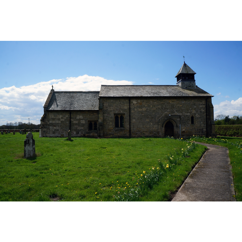
Image copyright © Ian S, 2015
CC-BY-SA-2.0
Results: 2 records
view of church exterior - north view
Scene Description: church partly re-built in the 1890s
Copyright Statement: Image copyright © Ian S, 2015
Image Source: digital photograph taken 29 April 2015 by Ian S [www.geograph.org.uk/photo/4462154] [accessed 25 October 2019]
Copyright Instructions: CC-BY-SA-2.0
view of church exterior in context
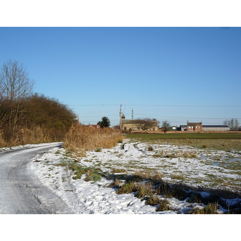
Scene Description: Source caption: "Thornton Church. Approaching the Church along Church Road from Melbourne."
Copyright Statement: Image copyright © DS Pugh, 2010
Image Source: digital photograph taken 18 December 2010 by DS Pugh [www.geograph.org.uk/photo/2202246] [accessed 25 October 2019]
Copyright Instructions: CC-BY-SA-2.0
INFORMATION
Font ID: 22414THO
Object Type: Baptismal Font1?
Font Date: ca. 1100-1108?
Font Century and Period/Style: 12th century (early?), Norman
Church / Chapel Name: Parish Church of St. Michael
Font Location in Church: [disappeared]
Church Patron Saint(s): St. Michael
Church Address: Church Rd, Thornton, York YO42 4RZ, UK
Site Location: East Riding of Yorkshire, Yorkshire and the Humber, England, United Kingdom
Directions to Site: Located SW of the A1079, about 1 km NNE of Melbourne, about 5 km SE of Allerthorpe, 14-16 km ESE of York
Ecclesiastic Region: Diocese of York
Historical Region: Hundred of Cave
Additional Comments: disappeared font? (the one from the original early-12thC(?) church here)
Font Notes:
Click to view
There is an entry for this Thornton [variant spelling] in the Domesday survey [https://opendomesday.org/place/SE7545/thornton/] [accessed 25 October 2019] but it mentions neither cleric nor church in it. The entry for this parish in the Victoria County History (York, East Riding, vol. 3, 1976) notes: "Although not named, Thornton, like Allerthorpe, was one of the chapels given by the king between 1100 and 1108, along with their mother-church of Pocklington, to the archbishop of York and York minster [...] but it was not until 1252 that a vicarage was fully ordained jointly at Thornton and Allerthorpe, with provision that a minister be found for each church. [...] Subsequently Thornton was a vicarage and Allerthorpe a curacy. [...] In addition to the vicar there were two parochial chaplains at Thornton and Melbourne in 1525-6 [...] No part of the fabric can be certainly dated to a period earlier than the 14th century, but the nave may now incorporate a former north aisle and the small size of both nave and chancel suggests that their plan is earlier"; no font mentioned for this church in the VCH entry. The entry for this church in Historic England [Listing NGR: SE7598445200] notes: "Church. C12, enlarged in C14. West end rebuilt and bellcote added 1890-92 [...] C19 octagonal font on cylindrical pier and octagonal base."
COORDINATES
UTM: 30U 641529 5974312
Latitude & Longitude (Decimal): 53.8979, -0.846
Latitude & Longitude (DMS): 53° 53′ 52.44″ N, 0° 50′ 45.6″ W
REFERENCES
- Victoria County History [online], University of London, 1993-. URL: https://www.british-history.ac.uk.