Pontefract No. 3 / Pomfret
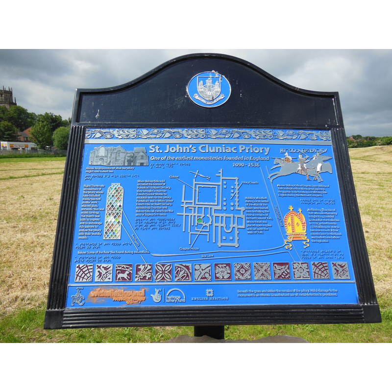
Image copyright © Bill Henderson, 2013
CC-BY-SA-2.0
Results: 2 records
information
Scene Description: Source caption: "Information Board for St John's Priory"
Copyright Statement: Image copyright © Bill Henderson, 2013
Image Source: digital photograph taken 30 June 2013 by Bill Henderson [www.geograph.org.uk/photo/3533947] [accessed 26 September 2019]
Copyright Instructions: CC-BY-SA-2.0
view of context
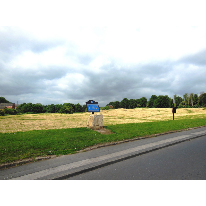
Scene Description: Source caption: "The Site of the Former St John's Priory. This site, now with little to show other than humps and hillocks in the terrain, was once the site of a very large and important Priory."
Copyright Statement: Image copyright © Bill Henderson, 2013
Image Source: digital photograph taken 30 June 2013 by Bill Henderson [www.geograph.org.uk/photo/3533942] [accessed 26 September 2019]
Copyright Instructions: CC-BY-SA-2.0
INFORMATION
Font ID: 22362PON
Object Type: Baptismal Font1?
Font Century and Period/Style: 11th - 12th century, Norman
Church / Chapel Name: Cluniac Priory Church of St. Mary and St. John the Evangelist
Font Location in Church: [disappeared]
Church Patron Saint(s): St. Mary the Virgin & St. John the Evangelist
Church Address: approximate address and coordinates for the site of the disappeared priory: Monkhill Ln, Pontefract WF8 2JN, UK
Site Location: West Yorkshire, Yorkshire and the Humber, England, United Kingdom
Directions to Site: The site of the disappeared priory is tentatively located just N of Monk Hill, off (N) the A645
Ecclesiastic Region: [Diocese of York]
Additional Comments: disappeared font? (the one from the late-11thC priory church here)
Font Notes:
Click to view
No individual entry for Potefract found in the Domesday survey. The entry for the Cluniac priory here in the Victoria County History (York, vol. 3, 1974) notes: "The priory of St. John of Pontefract was founded in 1090 [...] by Robert de Lacy. The house was dedicated to the honour of St. John [...] the Evangelist, and subjected to the Cluniac monks of La Charité-sur-Loire"; a 1279 visitation to this priory by the Abbot of Cluny "found that the monks were leading good lives, that the daily offices were duly performed, the buildings in a good state of repair, the church well appointed, and the food sufficient till the next harvest. [...] during the reign of Edward II [...] Thomas the Earl of Lancaster was executed by the king's order. His body was interred in 1322 in the priory church near the high altar. [...] The date of the surrender is 23 November 1539".
COORDINATES
UTM: 30U 612432 5951497
Latitude & Longitude (Decimal): 53.700048, -1.296923
Latitude & Longitude (DMS): 53° 42′ 0.17″ N, 1° 17′ 48.92″ W
REFERENCES
- Victoria County History [online], University of London, 1993-. URL: https://www.british-history.ac.uk.