Lerigneux / Lérigneux / Lerignacum / Lérignieu / Lerineu
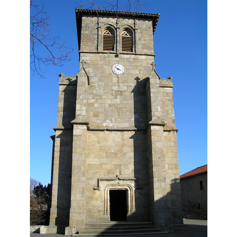
Image copyright © [in the public domain]
PD-self
Results: 1 records
view of church exterior - west façade
Copyright Statement: Image copyright © [in the public domain]
Image Source: digital photograph taken 10 February 2008 by Laurent Fraquet [https://commons.wikimedia.org/wiki/File:Lérigneux.JPG] [accessed 23 September 2019]
Copyright Instructions: PD-self
INFORMATION
Font ID: 22358LER
Object Type: Baptismal Font1?
Font Century and Period/Style: 16th century, Late Gothic? / Renaissance?
Church / Chapel Name: Église paroissiale Saint-Jacques le Majeur
Font Location in Church: [disappeared]
Church Patron Saint(s): St. James the Greater [aka James the Great, James the Elder]
Church Notes: present church 16thC; modified early-19thC -- there may have been an earlier church here
Church Address: place de l'Eglise, Le Bourg, 42600 Lérigneux, France
Site Location: Loire, Auvergne-Rhône-Alpes, France, Europe
Directions to Site: Located off (S) the D44, 10 km W of Montbrisson, 35 km NW of Firminy
Ecclesiastic Region: Diocèse de Lyon
Additional Comments: disappeared font? / altered font? [cf. FontNotes]
Font Notes:
Click to view
The present font is described in La Région Auvergne-Rhône-Alpes [https://patrimoine.auvergnerhonealpes.fr/dossier/presentation-du-mobilier-de-l-eglise-saint-jacques/3d70ce8d-1af6-4a51-a4cc-5356f3b7e003#presentation-1] [accessed 23 September 2019]: "Les fonts baptismaux, en bois usé de vétusté, ont été réédifiés en avril 1911, en marbre blanc. Ce marbre provient de l´ancienne église de Planfoy et a été donné par M. le curé Bredoux à son ami M. Furet curé de Lérigneux. Transport du marbre et réédification des fonts par M. Chouzeville de Montbrison : 60 F, argent provenant de dons de particuliers." [NB: we have no information on the whereabouts of the original font of the 16th-century church here -- it is not clear whther the wooden font referred to above was the original from the 16th-century church or not].
COORDINATES
UTM: 31T 575258 5050148
Latitude & Longitude (Decimal): 45.6008, 3.965
Latitude & Longitude (DMS): 45° 36′ 2.88″ N, 3° 57′ 54″ E