Sawley Abbey / Sawlaye
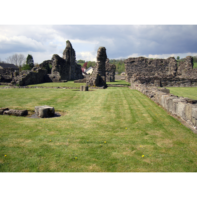
Image copyright © [in the public domain]
PD-self
Results: 1 records
view of church exterior in context
Scene Description: "Cistercian Abbey, founded 1147, dissolved 1536. Now ruinous. [...] the lower courses of the chancel, widened and lengthened in the early C16th by adding aisles, remain." [Historic England [cf. FontNotes]]
Copyright Statement: Image copyright © [in the public domain]
Image Source: digital photograph taken 11 May 2010 by John Armagh [https://commons.wikimedia.org/wiki/File:SawleyAbbey.jpg] [accessed 19 September 2019]
Copyright Instructions: PD-self
INFORMATION
Font ID: 22351SAW
Object Type: Baptismal Font1?
Font Century and Period/Style: 12th century (mid?), Late Norman
Church / Chapel Name: Abbey Church [in ruins]
Font Location in Church: [disappeared]
Church Address: Sawley, Clitheroe BB7 4NH, UK
Site Location: Lancashire, North West, England, United Kingdom
Directions to Site: Located off (W) the A59, 6-8 km NW of Clitheroe, 245-30 NW of Blackburn
Historical Region: formerly in the West Riding of Yorkshire
Additional Comments: disappeared font? (the one of the mid-12th century church here)
Font Notes:
Click to view
No individual entry found for this Sawley in the Domesday survey. The entry for the Cistercian abbey here in the Victoria County History (York, vol. 3, 1974) notes: "Sawley Abbey was founded by William Percy II, son of Alan Percy the Great [...] on 6 January 1147-8, [...] when Abbot Benedict with twelve monks and ten conversi came from Newminster." It was dissolved in 1537, its last abbot hanged for participating the Pilgrimage of Grace. The entry for this abbey in Historic England [Listing NGR: SD7765246433] notes: "Cistercian Abbey, founded 1147, dissolved 1536. Now ruinous. [...] the lower courses of the chancel, widened and lengthened in the early C16th by adding aisles, remain." [NB: we have no information on the font of the mid-12th century church here]
COORDINATES
UTM: 30U 543234 5974087
Latitude & Longitude (Decimal): 53.9134, -2.3418
Latitude & Longitude (DMS): 53° 54′ 48.24″ N, 2° 20′ 30.48″ W
REFERENCES
- Victoria County History [online], University of London, 1993-. URL: https://www.british-history.ac.uk.