Rochefoucauld, La No. 2 / La Ròcha-Focaud / La Roche-Tardoire / La Rochefoucauld-en-Angoumois / Rocha Fulchaudi / Rochafulcaudi / Rupe Fulcaudi / Rupes / Ruppem Fulcaudi
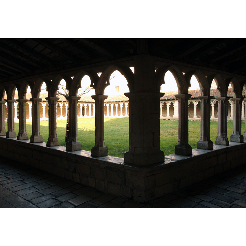
Image copyright © Rémi Jouan, 2015
GFDL / CC-BY-SA-3.0,2.5,2.0,1.0
Results: 2 records
view of church exterior - cloister
Copyright Statement: Image copyright © Rémi Jouan, 2015
Image Source: digital photograph taken 7 February 2015 by Rémi Jouan [https://commons.wikimedia.org/wiki/File:La_Rochefoucauld_-_Cloitre_Carmes_(6).JPG] [accessed 17 September 2019]
Copyright Instructions: GFDL / CC-BY-SA-3.0,2.5,2.0,1.0
view of church exterior - cloister
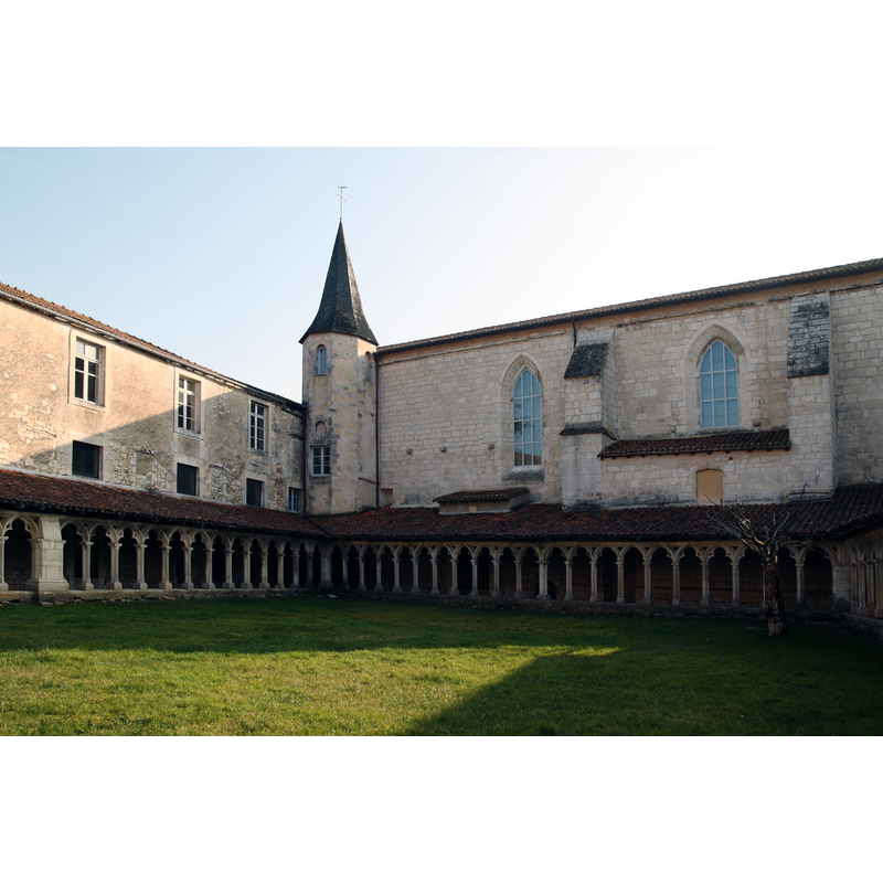
Copyright Statement: Image copyright © Rémi Jouan, 2015
Image Source: digital photograph taken 7 February 2015 by Rémi Jouan [https://commons.wikimedia.org/wiki/File:La_Rochefoucauld_-_Cloitre_Carmes_(5).JPG] [accessed 17 September 2019]
Copyright Instructions: GFDL / CC-BY-SA-3.0,2.5,2.0,1.0
INFORMATION
Font ID: 22347ROC
Object Type: Baptismal Font1?
Font Century and Period/Style: 14th century, Gothic
Church / Chapel Name: Église du Couvent de Carmes
Font Location in Church: [disappeared]
Church Notes: Listed in Mérimée [ref.: PA00104468]
Church Address: 41 Rue des Halles, 16110 La Rochefoucauld, France
Site Location: Charente, Nouvelle-Aquitaine, France, Europe
Directions to Site: The convent is located off (N) rue des Halles, on the E banks of the Tardoire river, off the RN141, 24 kms NE of Angoulême, 69 km W of Limoges
Additional Comments: dissappeared font? (the one from the 14thC conventual church here)
Font Notes:
Click to view
14th-century church occupied the south wing of the Carmelite covent here. Its font probably destroyed 1570 / 1572 in the Religious Wars. The convent is listed in Mérimée [ref.: PA00104468]: "Les Carmes s'installent à La Rochefoucauld en 1329. Le couvent connaît sa plus grande extension aux 15e et 16e siècles (agrandissement de bâtiments, école de philosophie et de théologie). Occupé par les Huguenots en 1563-1564, le couvent est pillé et saccagé en 1570 et 1572. L'état de ruine subsiste jusqu'au début du 17e siècle."
COORDINATES
UTM: 31T 296521 5068655
Latitude & Longitude (Decimal): 45.7415, 0.3843
Latitude & Longitude (DMS): 45° 44′ 29.4″ N, 0° 23′ 3.48″ E