Old Byland No. 3 / Begeland / Bella Landa super Moram / Bellaund
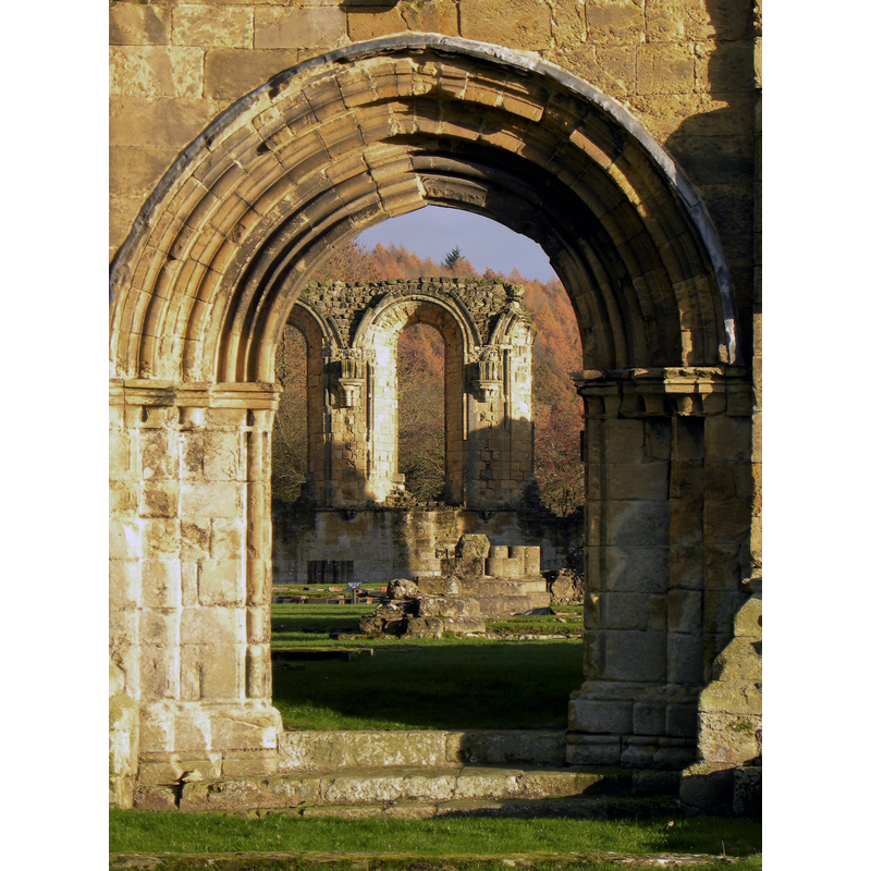
Image copyright © Gordon Hatton, 2016
CC-BY-SA-2.0
Results: 3 records
view of church exterior - south portal
Scene Description: Source caption: "Byland Abbey. The view through the south portal, built some time in the early 13th century."
Copyright Statement: Image copyright © Gordon Hatton, 2016
Image Source: digital photograph taken 28 November 2016 by Gordon Hatton [www.geograph.org.uk/photo/5209068] [accessed 12 September 2019]
Copyright Instructions: CC-BY-SA-2.0
view of church exterior - northwest view
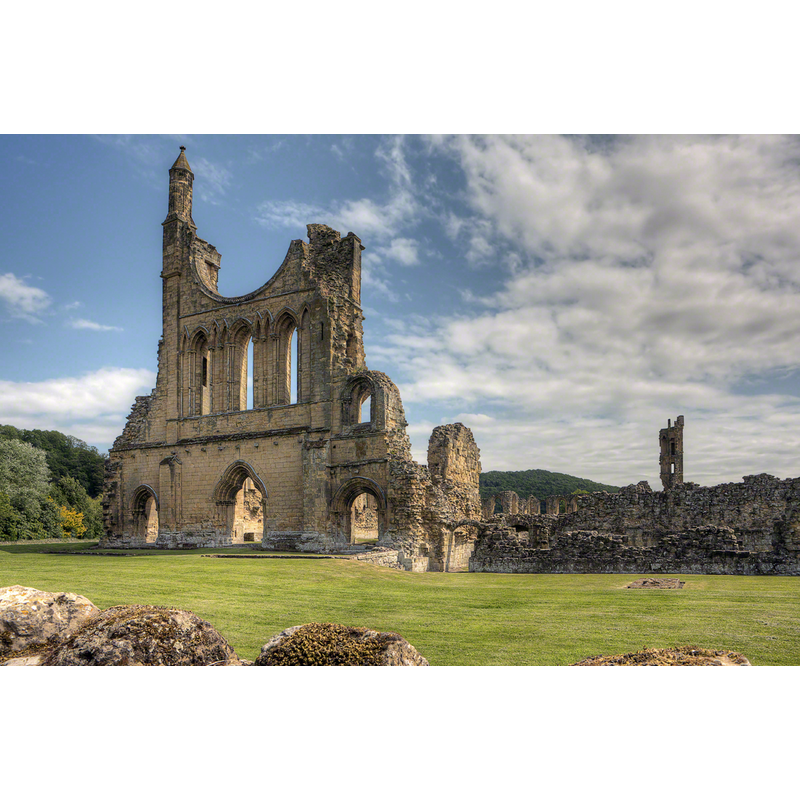
Copyright Statement: Image copyright © Anthony McCallum, 2011
Image Source: digital photograph taken 7 June 2011 by Antony McCallum [https://commons.wikimedia.org/wiki/File:BylandAbbey-7Je11-24105.jpg] [accessed 12 September 2019]
Copyright Instructions: CC-BY-SA-3.0
view of church interior - looking west
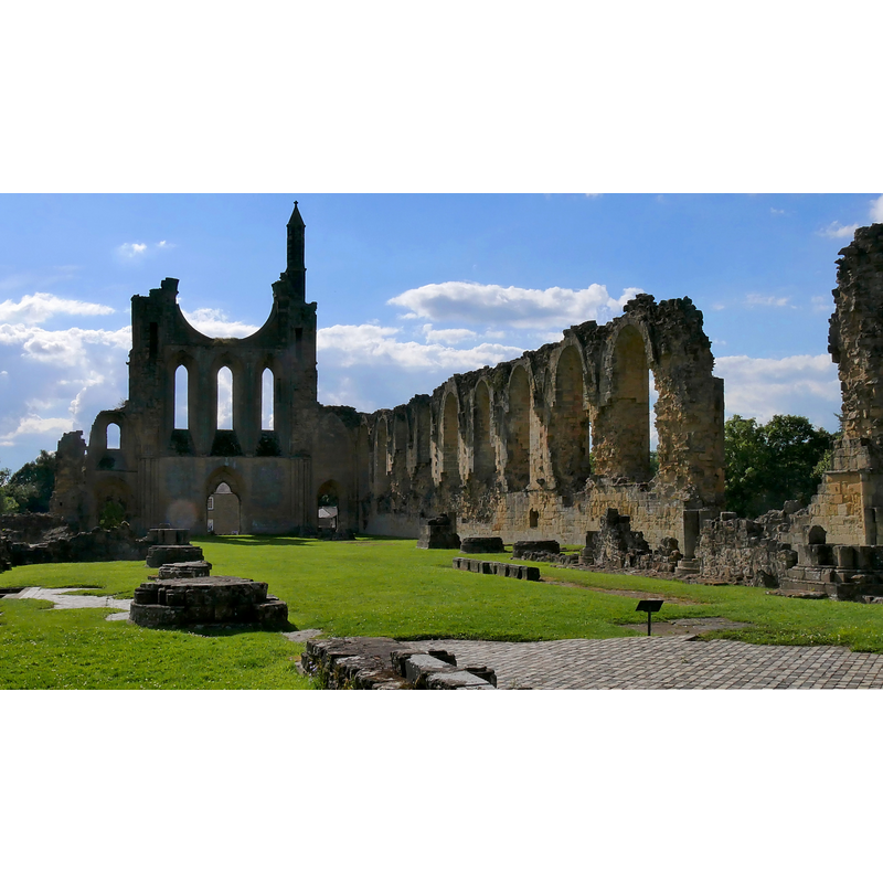
Copyright Statement: Image copyright © [in the public domain]
Image Source: digital photograph taken 22 July 2017 by Helge Klaus Rieder [https://commons.wikimedia.org/wiki/File:ABylandAbbeyNaveH1c.jpg] [accessed 12 September 2019]
Copyright Instructions: CC-Zero
INFORMATION
Font ID: 22329BYL
Object Type: Baptismal Font1?
Font Century and Period/Style: 12th - 13th century, Transitional / Early English
Church / Chapel Name: Abbey Church of Byland [in ruins]
Font Location in Church: [disappeared]
Church Address: 65, Byland Abbey, York YO61 4BD, UK
Site Location: North Yorkshire, Yorkshire and the Humber, England, United Kingdom
Directions to Site: Located off (S) the A170, 3 km NE of Coxwold, 9-10 km ESE of Thirsk
Ecclesiastic Region: [Diocese of York]
Historical Region: Hundred of Yarlestre
Additional Comments: disappeared font? (the one from the abbey church here)
Font Notes:
Click to view
As noted in the Victoria County History (York, vol. 4, 1974) entry for this abbey, its foundation went through five stages until finally settling near Coxwold, a place they called Bellalanda, in 1177, and at the time of the Dissolution in 1537 the abbot and twenty-three other monks were pensioned off, while "one other, John Harryson, received no money pension quia habet vicariam de Byland" [i.e., the monk who served as vicar in the parish church of Byland]. The entry for the ruins of the former abbey church in Historic England [Listing NGR: SE5495378960] notes: "Abbey church and monastic buildings. Now ruinous. Late C12, early C13 and C15. Limestone ashlar and rubble. Substantial remains of church including west front standing almost to full height. Ruins of monastic buildings standing to height of approximately 5 metres in places."
COORDINATES
UTM: 30U 620069 6007684
Latitude & Longitude (Decimal): 54.2031, -1.1592
Latitude & Longitude (DMS): 54° 12′ 11.16″ N, 1° 9′ 33.12″ W
REFERENCES
- Victoria County History [online], University of London, 1993-. URL: https://www.british-history.ac.uk.